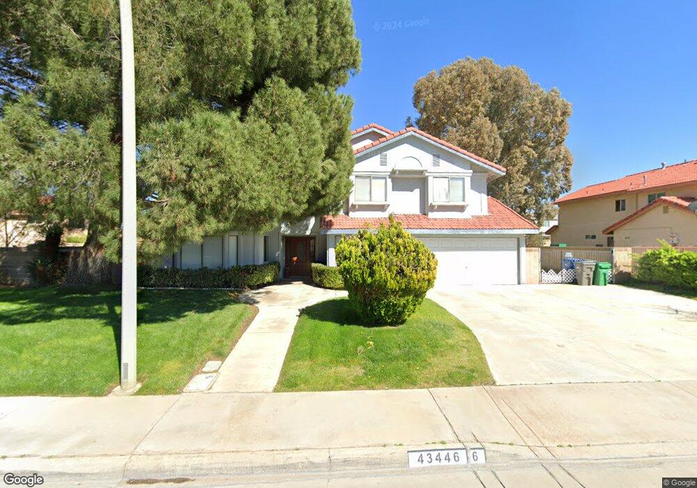
43446 Tali St Lancaster, CA 93535
East Lancaster NeighborhoodEstimated Value: $486,430 - $509,000
4
Beds
3
Baths
2,472
Sq Ft
$200/Sq Ft
Est. Value
About This Home
This home is located at 43446 Tali St, Lancaster, CA 93535 and is currently estimated at $495,358, approximately $200 per square foot. 43446 Tali St is a home located in Los Angeles County with nearby schools including Jack Northrop Elementary School, New Vista Middle School, and Eastside High School.
Ownership History
Date
Name
Owned For
Owner Type
Purchase Details
Closed on
Dec 16, 1996
Sold by
Bankers Trust Company Of California Na
Bought by
Green Thomas
Current Estimated Value
Home Financials for this Owner
Home Financials are based on the most recent Mortgage that was taken out on this home.
Original Mortgage
$129,265
Outstanding Balance
$13,009
Interest Rate
7.59%
Mortgage Type
VA
Estimated Equity
$482,349
Purchase Details
Closed on
Aug 20, 1996
Sold by
Sammons Bobby D and Sammons Amy Frost
Bought by
Bankers Trust Company Of California Na
Purchase Details
Closed on
Jun 17, 1994
Sold by
Sammons Bobby D
Bought by
Frost Amy K
Create a Home Valuation Report for This Property
The Home Valuation Report is an in-depth analysis detailing your home's value as well as a comparison with similar homes in the area
Home Values in the Area
Average Home Value in this Area
Purchase History
| Date | Buyer | Sale Price | Title Company |
|---|---|---|---|
| Green Thomas | $125,500 | First Southwestern Title Co | |
| Bankers Trust Company Of California Na | $161,121 | First Southwestern Title Co | |
| Frost Amy K | -- | -- |
Source: Public Records
Mortgage History
| Date | Status | Borrower | Loan Amount |
|---|---|---|---|
| Open | Green Thomas | $129,265 |
Source: Public Records
Tax History
| Year | Tax Paid | Tax Assessment Tax Assessment Total Assessment is a certain percentage of the fair market value that is determined by local assessors to be the total taxable value of land and additions on the property. | Land | Improvement |
|---|---|---|---|---|
| 2025 | $3,797 | $204,371 | $40,702 | $163,669 |
| 2024 | $3,797 | $200,364 | $39,904 | $160,460 |
| 2023 | $3,723 | $196,436 | $39,122 | $157,314 |
| 2022 | $3,629 | $192,585 | $38,355 | $154,230 |
| 2021 | $3,231 | $188,809 | $37,603 | $151,206 |
| 2019 | $3,144 | $183,211 | $36,489 | $146,722 |
| 2018 | $3,091 | $179,620 | $35,774 | $143,846 |
| 2016 | $3,253 | $172,647 | $34,386 | $138,261 |
| 2015 | $3,219 | $170,055 | $33,870 | $136,185 |
| 2014 | $3,206 | $166,725 | $33,207 | $133,518 |
Source: Public Records
Map
Nearby Homes
- 1335 Samra Ave
- 1616 Thomas Dr
- 1350 Lincoln Ave
- 43341 Elizabeth Ln
- 4 Melody Ln
- 43646 Rembrandt St
- 43629 Rembrandt St
- 1518 E Avenue J-12
- 1518 E Avenue j12
- 87 E Avenue J 12
- 117 E Avenue J 12
- 1118 E Avenue K
- 43815 Silver Bow Rd
- 43743 Alain Ct
- 1642 Bisbee Place
- 1146 E Avenue j12
- 1848 Trudgeon Ave
- 1565 Astoria Ave
- 43922 Fallon Dr
- 1121 Chagal Ave
- 43438 Tali St
- 1520 Marion Ave
- 43457 Elite Ln Unit 1
- 43457 Elite Ln
- 1528 Marion Ave
- 43449 Elite Ln
- 43445 Tali St
- 1544 Marion Ave
- 43437 Tali St
- 43461 Tali St
- 1521 Granville Way
- 1529 Granville Way
- 1537 Granville Way
- 43429 Tali St
- 43505 Elite Ln
- 43452 Elite Ln
- 43504 Elite Ln
- 1513 Marion Ave
- 43421 Tali St
- 43460 Elite Ln
Your Personal Tour Guide
Ask me questions while you tour the home.