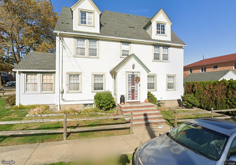
4345 189th St Flushing, NY 11358
Auburndale NeighborhoodEstimated Value: $1,028,000 - $1,324,000
Studio
--
Bath
1,818
Sq Ft
$661/Sq Ft
Est. Value
About This Home
This home is located at 4345 189th St, Flushing, NY 11358 and is currently estimated at $1,201,491, approximately $660 per square foot. 4345 189th St is a home located in Queens County with nearby schools including P.S. 107 Thomas A Dooley, I.S. 25 Adrien Block, and Francis Lewis High School.
Ownership History
Date
Name
Owned For
Owner Type
Purchase Details
Closed on
Apr 11, 2023
Sold by
Chirichella Annette and Chirichella Patrick
Bought by
Ding Lefu and Huang Yuqin
Current Estimated Value
Home Financials for this Owner
Home Financials are based on the most recent Mortgage that was taken out on this home.
Original Mortgage
$490,000
Outstanding Balance
$475,493
Interest Rate
6.65%
Mortgage Type
Purchase Money Mortgage
Estimated Equity
$725,998
Create a Home Valuation Report for This Property
The Home Valuation Report is an in-depth analysis detailing your home's value as well as a comparison with similar homes in the area
Home Values in the Area
Average Home Value in this Area
Purchase History
| Date | Buyer | Sale Price | Title Company |
|---|---|---|---|
| Ding Lefu | $1,150,000 | -- | |
| Ding Lefu | $1,150,000 | -- | |
| Ding Lefu | $1,150,000 | -- |
Source: Public Records
Mortgage History
| Date | Status | Borrower | Loan Amount |
|---|---|---|---|
| Open | Ding Lefu | $490,000 | |
| Closed | Ding Lefu | $490,000 |
Source: Public Records
Tax History
| Year | Tax Paid | Tax Assessment Tax Assessment Total Assessment is a certain percentage of the fair market value that is determined by local assessors to be the total taxable value of land and additions on the property. | Land | Improvement |
|---|---|---|---|---|
| 2025 | $3,651 | $19,271 | $19,271 | -- |
| 2024 | $3,651 | $18,180 | $46,124 | -- |
| 2023 | $8,740 | $43,513 | $11,317 | $32,196 |
| 2022 | $8,501 | $60,840 | $18,180 | $42,660 |
| 2021 | $8,455 | $59,820 | $18,180 | $41,640 |
| 2020 | $8,504 | $56,100 | $18,180 | $37,920 |
| 2019 | $8,040 | $57,840 | $18,180 | $39,660 |
| 2018 | $7,392 | $36,261 | $15,607 | $20,654 |
| 2017 | $5,461 | $35,488 | $13,492 | $21,996 |
| 2016 | $6,693 | $35,488 | $13,492 | $21,996 |
| 2015 | $4,038 | $33,480 | $15,351 | $18,129 |
| 2014 | $4,038 | $32,030 | $16,683 | $15,347 |
Source: Public Records
Map
Nearby Homes
- 45-32 Utopia Pkwy
- 188-02 Northern Blvd
- 42-25 189th St
- 42-28 189th St
- 4539 192nd St
- 43-32 194th St
- 45-47 193rd St
- 190-17 42nd Ave
- 43-44 195th St
- 171-06 Bagley Ave
- 4564 170th St
- 45-31 195th St
- 4604 195th St
- 43-28 196th St
- 4048 194th St Unit A3
- 4552 196th St
- 19112 Station Rd
- 40-38 194th St Unit 1A
- 4038 194th St Unit 3B
- 192-14 Station Rd
- 43-45 189th St
- 4339 189th St
- 43-39 189th St
- 18911 44th Ave
- 4335 189th St
- 43-35 189th St
- 4401 189th St
- 18915 44th Ave
- 4333 189th St
- 4333 189th St
- 4405 189th St
- 44-06 189th St
- 44-06 189th St Unit 2nd Fl
- 18914 44th Ave
- 189-14 44th Ave
- 18912 43rd Rd
- 189-19 44th Ave Unit 1 Fl
- 18919 44th Ave Unit 2 Fl
- 18919 44th Ave Unit 1 Fl
- 18919 44th Ave
Your Personal Tour Guide
Ask me questions while you tour the home.