4347 Kousa Rd Unit 13 Austell, GA 30106
Estimated Value: $283,000 - $343,000
3
Beds
3
Baths
1,988
Sq Ft
$157/Sq Ft
Est. Value
About This Home
This home is located at 4347 Kousa Rd Unit 13, Austell, GA 30106 and is currently estimated at $311,645, approximately $156 per square foot. 4347 Kousa Rd Unit 13 is a home located in Cobb County with nearby schools including Deerwood Elementary School, Clarkdale Elementary School, and Garrett Middle School.
Ownership History
Date
Name
Owned For
Owner Type
Purchase Details
Closed on
Aug 9, 2024
Sold by
Leland Leslie K and Williams Leslie
Bought by
Johnson Gia
Current Estimated Value
Home Financials for this Owner
Home Financials are based on the most recent Mortgage that was taken out on this home.
Original Mortgage
$320,000
Outstanding Balance
$316,149
Interest Rate
6.95%
Mortgage Type
New Conventional
Estimated Equity
-$4,504
Create a Home Valuation Report for This Property
The Home Valuation Report is an in-depth analysis detailing your home's value as well as a comparison with similar homes in the area
Home Values in the Area
Average Home Value in this Area
Purchase History
| Date | Buyer | Sale Price | Title Company |
|---|---|---|---|
| Johnson Gia | $320,000 | None Listed On Document |
Source: Public Records
Mortgage History
| Date | Status | Borrower | Loan Amount |
|---|---|---|---|
| Open | Johnson Gia | $320,000 |
Source: Public Records
Tax History Compared to Growth
Tax History
| Year | Tax Paid | Tax Assessment Tax Assessment Total Assessment is a certain percentage of the fair market value that is determined by local assessors to be the total taxable value of land and additions on the property. | Land | Improvement |
|---|---|---|---|---|
| 2025 | $3,857 | $127,996 | $28,000 | $99,996 |
| 2024 | $3,183 | $127,996 | $28,000 | $99,996 |
| 2023 | $2,311 | $112,824 | $20,000 | $92,824 |
| 2022 | $2,192 | $81,624 | $20,000 | $61,624 |
| 2021 | $2,192 | $81,624 | $20,000 | $61,624 |
| 2020 | $2,167 | $80,484 | $18,000 | $62,484 |
| 2019 | $1,943 | $73,024 | $16,000 | $57,024 |
| 2018 | $1,658 | $63,652 | $10,800 | $52,852 |
| 2017 | $1,466 | $59,932 | $10,800 | $49,132 |
| 2016 | $1,313 | $54,556 | $10,800 | $43,756 |
| 2015 | $966 | $41,620 | $8,800 | $32,820 |
| 2014 | $765 | $34,576 | $0 | $0 |
Source: Public Records
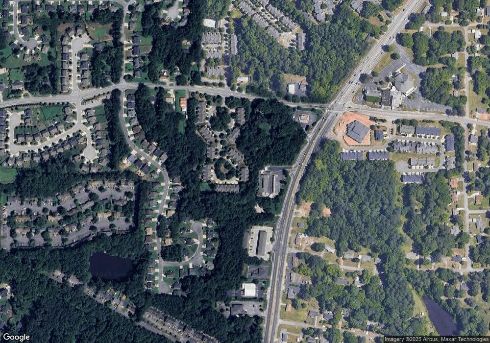
Map
Nearby Homes
- 4347 Kousa Rd
- 4349 Kousa Rd
- 4351 Kousa Rd
- 4351 Kousa Rd Unit 15
- 4343 Kousa Rd Unit 3
- 4343 Kousa Rd Unit 431
- 4343 Kousa Rd Unit 4343
- 4341 Kousa Rd
- 4341 4341 Kousa Rd
- 4339 Kousa Rd Unit 3
- 4366 Kousa Rd Unit 5
- 4366 Kousa Rd
- 4366 Kousa Rd Unit 4366
- 4364 Kousa Rd Unit 5
- 4364 Kousa Rd Unit 17
- 4337 Kousa Rd Unit 3
- 4337 Kousa Rd Unit 4337
- 4362 Kousa Rd Unit 5
- 4362 Kousa Rd
- 4360 Kousa Rd Unit 5