435 Glenwood Rd Whitefish, MT 59937
Estimated Value: $544,001 - $961,000
2
Beds
1
Bath
696
Sq Ft
$1,062/Sq Ft
Est. Value
About This Home
This home is located at 435 Glenwood Rd, Whitefish, MT 59937 and is currently estimated at $739,000, approximately $1,061 per square foot. 435 Glenwood Rd is a home located in Flathead County with nearby schools including L.A. Muldown School, Whitefish Middle School, and Whitefish High School.
Ownership History
Date
Name
Owned For
Owner Type
Purchase Details
Closed on
Dec 28, 2023
Sold by
Gillenwater Jay and Gillenwater Heidi
Bought by
Gns Properties Llc
Current Estimated Value
Home Financials for this Owner
Home Financials are based on the most recent Mortgage that was taken out on this home.
Original Mortgage
$265,000
Outstanding Balance
$260,776
Interest Rate
7.44%
Mortgage Type
New Conventional
Estimated Equity
$478,224
Purchase Details
Closed on
Oct 15, 2013
Sold by
Dale John Eric and Estate Of Mary Curry Dyer Dale
Bought by
Larrivee Andrea Dyer Dalen
Create a Home Valuation Report for This Property
The Home Valuation Report is an in-depth analysis detailing your home's value as well as a comparison with similar homes in the area
Home Values in the Area
Average Home Value in this Area
Purchase History
| Date | Buyer | Sale Price | Title Company |
|---|---|---|---|
| Gns Properties Llc | -- | Fidelity National Title Compan | |
| Larrivee Andrea Dyer Dalen | -- | None Available |
Source: Public Records
Mortgage History
| Date | Status | Borrower | Loan Amount |
|---|---|---|---|
| Open | Gns Properties Llc | $265,000 |
Source: Public Records
Tax History Compared to Growth
Tax History
| Year | Tax Paid | Tax Assessment Tax Assessment Total Assessment is a certain percentage of the fair market value that is determined by local assessors to be the total taxable value of land and additions on the property. | Land | Improvement |
|---|---|---|---|---|
| 2025 | $1,614 | $509,923 | $0 | $0 |
| 2024 | $1,906 | $379,911 | $0 | $0 |
| 2023 | $2,569 | $379,911 | $0 | $0 |
| 2022 | $1,291 | $180,737 | $0 | $0 |
| 2021 | $2,028 | $180,737 | $0 | $0 |
| 2020 | $2,072 | $174,520 | $0 | $0 |
| 2019 | $2,184 | $174,520 | $0 | $0 |
| 2018 | $1,905 | $142,376 | $0 | $0 |
| 2017 | $1,760 | $142,376 | $0 | $0 |
| 2016 | $1,685 | $139,791 | $0 | $0 |
| 2015 | $1,758 | $139,791 | $0 | $0 |
| 2014 | $2,099 | $109,286 | $0 | $0 |
Source: Public Records
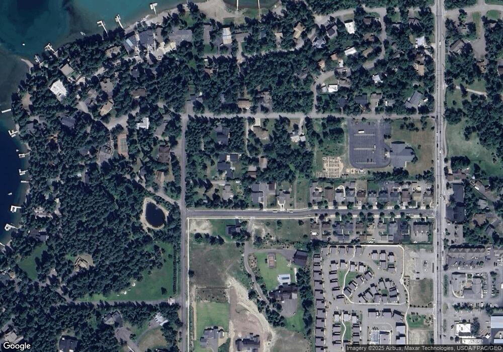
Map
Nearby Homes
- 234 Copper Way Unit A3
- 246 Opal Dr Unit B17
- 243 Opal Dr Unit A35
- 210 the Quarry Rd Unit A8
- 1000 Wisconsin Ave
- 114 Jasper Loop
- 633 & 635 Dakota Ave
- 245 Glenwood Rd
- 86 Serpentine Cir Unit 202
- 86 Serpentine Cir Unit 203
- 86 Serpentine Cir Unit 303
- 86 Serpentine Cir Unit 208
- 86 Serpentine Cir Unit 308
- 1000 Colorado Ave
- 22 Marina Crest Ln
- 505 Dakota Ave
- 508 Dakota Ave
- 600 Wisconsin Ave Unit 1
- 970 Colorado Ave
- 435 Dakota Ave