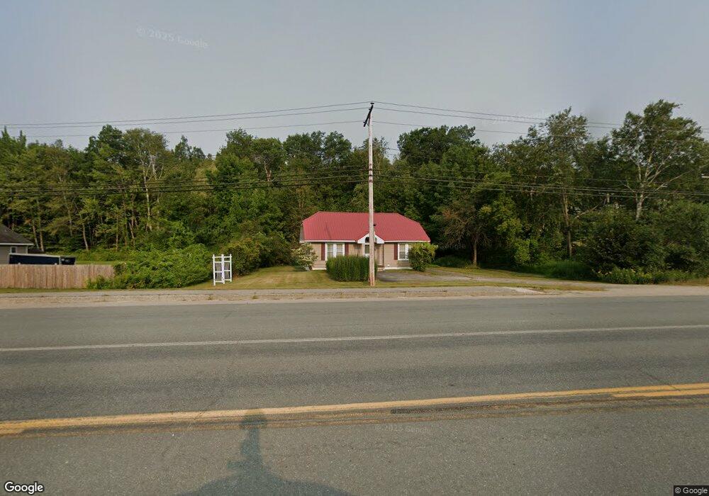
435 Main St Gorham, NH 03581
Estimated Value: $429,324
--
Bed
1
Bath
624
Sq Ft
$688/Sq Ft
Est. Value
About This Home
This home is located at 435 Main St, Gorham, NH 03581 and is currently estimated at $429,324, approximately $688 per square foot. 435 Main St is a home located in Coos County with nearby schools including Edward Fenn Elementary School, Gorham Middle School, and Gorham High School.
Ownership History
Date
Name
Owned For
Owner Type
Purchase Details
Closed on
Dec 21, 2012
Sold by
Munce Harold and Munce Marilyn
Bought by
P & L Cote Land & Ptnrshp
Current Estimated Value
Create a Home Valuation Report for This Property
The Home Valuation Report is an in-depth analysis detailing your home's value as well as a comparison with similar homes in the area
Home Values in the Area
Average Home Value in this Area
Purchase History
| Date | Buyer | Sale Price | Title Company |
|---|---|---|---|
| P & L Cote Land & Ptnrshp | $190,000 | -- | |
| P & L Cote Land & Ptnrshp | $190,000 | -- |
Source: Public Records
Mortgage History
| Date | Status | Borrower | Loan Amount |
|---|---|---|---|
| Previous Owner | P & L Cote Land & Ptnrshp | $768,921 | |
| Previous Owner | P & L Cote Land & Ptnrshp | $300,000 | |
| Previous Owner | P & L Cote Land & Ptnrshp | $1,200,000 |
Source: Public Records
Tax History Compared to Growth
Tax History
| Year | Tax Paid | Tax Assessment Tax Assessment Total Assessment is a certain percentage of the fair market value that is determined by local assessors to be the total taxable value of land and additions on the property. | Land | Improvement |
|---|---|---|---|---|
| 2024 | $8,303 | $293,500 | $234,200 | $59,300 |
| 2023 | $7,205 | $293,500 | $234,200 | $59,300 |
| 2022 | $7,117 | $293,500 | $234,200 | $59,300 |
| 2021 | $14,738 | $414,000 | $414,000 | $0 |
| 2020 | $13,186 | $414,000 | $414,000 | $0 |
| 2019 | $14,653 | $433,900 | $414,000 | $19,900 |
| 2018 | $15,842 | $433,900 | $414,000 | $19,900 |
| 2017 | $17,413 | $512,900 | $213,600 | $299,300 |
| 2014 | $15,542 | $506,600 | $204,000 | $302,600 |
| 2010 | $8,418 | $351,500 | $211,000 | $140,500 |
Source: Public Records
Map
Nearby Homes
- 23 Pine St
- 500 Main St Unit TRLR 4
- 141 Lancaster Rd Unit 28
- 141 Lancaster Rd Unit 14
- 141 Lancaster Rd
- 240 Main St
- 11 Dublin St
- 6 Church St
- 37 Androscoggin St
- 18 Corbin Ave
- 101 Main St Unit A
- 10-14 Exchange St
- 15 Alpine St
- 21 Promenade St
- 1 Glen Rd
- 48 Main St
- 31 Glen Rd
- 9 Paradise St
- 29 Washington St
- 2 Bell St