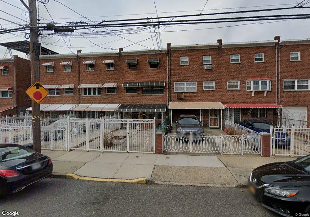
435 Olmstead Ave Bronx, NY 10473
Castle Hill NeighborhoodEstimated Value: $639,060 - $717,000
4
Beds
2
Baths
1,596
Sq Ft
$425/Sq Ft
Est. Value
About This Home
This home is located at 435 Olmstead Ave, Bronx, NY 10473 and is currently estimated at $678,765, approximately $425 per square foot. 435 Olmstead Ave is a home located in Bronx County with nearby schools including P.S. 182.
Ownership History
Date
Name
Owned For
Owner Type
Purchase Details
Closed on
Dec 23, 2004
Sold by
Payas Luz M
Bought by
Payas Julie and Payas Luz M
Current Estimated Value
Home Financials for this Owner
Home Financials are based on the most recent Mortgage that was taken out on this home.
Original Mortgage
$75,000
Interest Rate
5.66%
Mortgage Type
Purchase Money Mortgage
Create a Home Valuation Report for This Property
The Home Valuation Report is an in-depth analysis detailing your home's value as well as a comparison with similar homes in the area
Home Values in the Area
Average Home Value in this Area
Purchase History
| Date | Buyer | Sale Price | Title Company |
|---|---|---|---|
| Payas Julie | -- | -- | |
| Payas Julie | -- | -- |
Source: Public Records
Mortgage History
| Date | Status | Borrower | Loan Amount |
|---|---|---|---|
| Closed | Payas Julie | $75,000 |
Source: Public Records
Tax History
| Year | Tax Paid | Tax Assessment Tax Assessment Total Assessment is a certain percentage of the fair market value that is determined by local assessors to be the total taxable value of land and additions on the property. | Land | Improvement |
|---|---|---|---|---|
| 2025 | $3,818 | $24,178 | $4,473 | $19,705 |
| 2024 | $3,818 | $22,810 | $4,010 | $18,800 |
| 2023 | $3,973 | $22,810 | $4,279 | $18,531 |
| 2022 | $3,774 | $28,500 | $6,360 | $22,140 |
| 2021 | $3,783 | $28,740 | $6,360 | $22,380 |
| 2020 | $3,606 | $27,240 | $6,360 | $20,880 |
| 2019 | $3,317 | $24,840 | $6,360 | $18,480 |
| 2018 | $3,216 | $19,008 | $5,140 | $13,868 |
| 2017 | $3,126 | $18,504 | $5,042 | $13,462 |
| 2016 | $1,158 | $17,797 | $5,299 | $12,498 |
| 2015 | $614 | $16,790 | $6,250 | $10,540 |
| 2014 | $614 | $15,840 | $7,080 | $8,760 |
Source: Public Records
Map
Nearby Homes
- 423 Olmstead Ave
- 2114 Lacombe Ave
- 433 Howe Ave Unit A
- 443 Howe Ave
- 452 Howe Ave
- 2076 Caesar Place
- 422 Castle Hill Ave
- 2228 Norton Ave
- 234 Betts Ave
- 430 Turneur Ave
- 321 Newman Ave
- 2242 Lacombe Ave
- 260 Zerega Ave
- 227 Stephens Ave
- 1907 Lacombe Ave
- 252 Soundview Ave
- 437 Zerega Ave
- 246 Soundview Ave
- 332 Underhill Ave
- 356 Underhill Ave
- 437 Olmstead Ave
- 433 Olmstead Ave
- 439 Olmstead Ave
- 431 Olmstead Ave
- 441 Olmstead Ave
- 429 Olmstead Ave
- 443 Olmstead Ave
- 427 Olmstead Ave
- 445 Olmstead Ave
- 425 Olmstead Ave
- 430 Screvin Ave
- 428 Screvin Ave
- 432 Screvin Ave
- 426 Screvin Ave
- 434 Screvin Ave
- 424 Screvin Ave
- 436 Screvin Ave
- 421 Olmstead Ave
- 449 Olmstead Ave
Your Personal Tour Guide
Ask me questions while you tour the home.