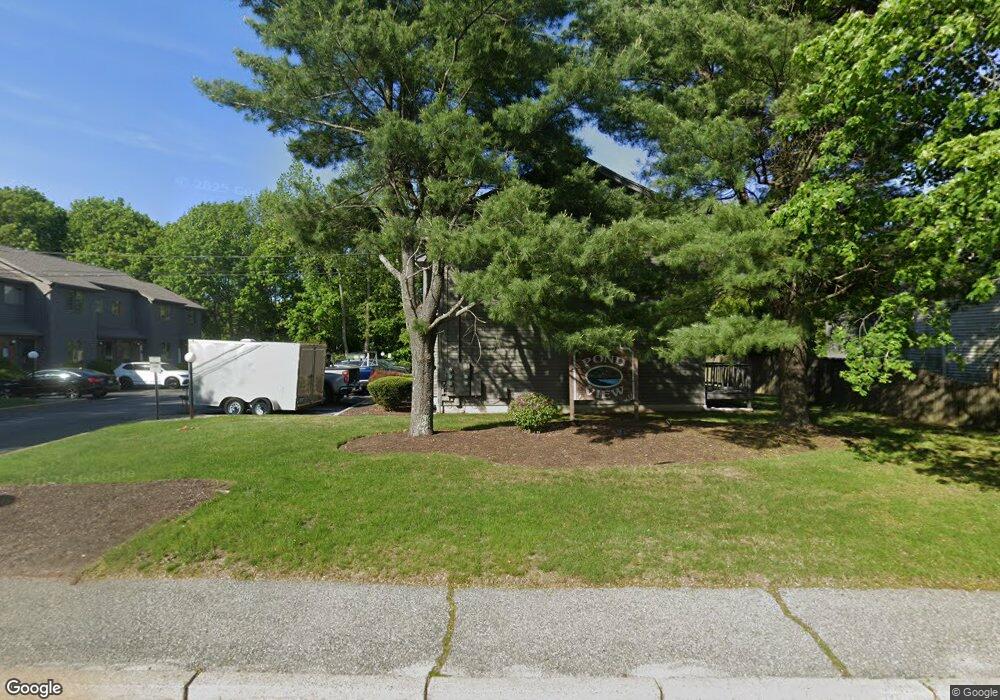
435 Scituate Ave Unit 1A Cranston, RI 02921
Comstock Gardens NeighborhoodEstimated Value: $344,257 - $368,000
2
Beds
2
Baths
1,200
Sq Ft
$299/Sq Ft
Est. Value
About This Home
This home is located at 435 Scituate Ave Unit 1A, Cranston, RI 02921 and is currently estimated at $358,814, approximately $299 per square foot. 435 Scituate Ave Unit 1A is a home located in Providence County with nearby schools including Stone Hill School, Western Hills Middle School, and Cranston High School West.
Ownership History
Date
Name
Owned For
Owner Type
Purchase Details
Closed on
Apr 29, 1996
Sold by
Wold Joseph L and Regan Timothy
Bought by
Cionci Richard R
Current Estimated Value
Home Financials for this Owner
Home Financials are based on the most recent Mortgage that was taken out on this home.
Original Mortgage
$78,100
Interest Rate
7.81%
Mortgage Type
Purchase Money Mortgage
Create a Home Valuation Report for This Property
The Home Valuation Report is an in-depth analysis detailing your home's value as well as a comparison with similar homes in the area
Home Values in the Area
Average Home Value in this Area
Purchase History
| Date | Buyer | Sale Price | Title Company |
|---|---|---|---|
| Cionci Richard R | $80,000 | -- |
Source: Public Records
Mortgage History
| Date | Status | Borrower | Loan Amount |
|---|---|---|---|
| Open | Cionci Richard R | $46,300 | |
| Closed | Cionci Richard R | $78,100 |
Source: Public Records
Tax History Compared to Growth
Tax History
| Year | Tax Paid | Tax Assessment Tax Assessment Total Assessment is a certain percentage of the fair market value that is determined by local assessors to be the total taxable value of land and additions on the property. | Land | Improvement |
|---|---|---|---|---|
| 2025 | $3,532 | $254,500 | $0 | $254,500 |
| 2024 | $3,464 | $254,500 | $0 | $254,500 |
| 2023 | $3,599 | $190,400 | $0 | $190,400 |
| 2022 | $3,524 | $190,400 | $0 | $190,400 |
| 2021 | $3,427 | $190,400 | $0 | $190,400 |
| 2020 | $3,437 | $165,500 | $0 | $165,500 |
| 2019 | $3,437 | $165,500 | $0 | $165,500 |
| 2018 | $3,358 | $165,500 | $0 | $165,500 |
| 2017 | $3,306 | $144,100 | $0 | $144,100 |
| 2016 | $3,235 | $144,100 | $0 | $144,100 |
| 2015 | $3,235 | $144,100 | $0 | $144,100 |
| 2014 | $3,392 | $148,500 | $0 | $148,500 |
Source: Public Records
Map
Nearby Homes
- 435 Scituate Ave
- 95 Amy Dr
- 105 Amy Dr
- 20 Wild Berry Dr
- 26 Scituate Farms Dr
- 134 Lake Garden Dr
- 11 Red Robin Rd
- 20 Doreen Ct
- 30 Dutchess Dr
- 17 Woodview Dr
- 51 Stone Dr
- 56 Scituate Ave
- 0 Phenix Ave Unit 1384514
- 333 Phenix Ave
- 118 Westfield Dr
- 60 Harmony St
- 75 Rowe Dr
- 00 Burton St
- 180 Highland St
- 178 Highland St
- 435 Scituate Ave Unit 2D
- 435 Scituate Ave Unit 5D
- 435 Scituate Ave Unit 2C
- 435 Scituate Ave Unit 2A
- 435 Scituate Ave Unit 4A
- 435 Scituate Ave Unit 5A
- 435 Scituate Ave Unit 5C
- 435 Scituate Ave Unit 5B
- 435 Scituate Ave Unit 2B
- 435 Scituate Ave Unit 1B
- 435 Scituate Ave Unit 4D
- 435 Scituate Ave Unit 4C
- 435 Scituate Ave Unit 3D
- 435 Scituate Ave Unit 3C
- 435 Scituate Ave Unit 3B
- 435 Scituate Ave Unit 3A
- 435 Scituate Ave Unit 3A
- 435 Scituate Ave Unit 1B
- 415 Scituate Ave
- 435 1A Scituate Ave