4350 SW Pryor Rd Lees Summit, MO 64082
Estimated Value: $541,000 - $868,738
4
Beds
4
Baths
2,013
Sq Ft
$336/Sq Ft
Est. Value
About This Home
This home is located at 4350 SW Pryor Rd, Lees Summit, MO 64082 and is currently estimated at $676,913, approximately $336 per square foot. 4350 SW Pryor Rd is a home located in Jackson County with nearby schools including Summit Pointe Elementary School, Summit Lakes Middle School, and Lee's Summit West High School.
Ownership History
Date
Name
Owned For
Owner Type
Purchase Details
Closed on
Sep 3, 2014
Sold by
Privitera Joe M and Privitera Lori L
Bought by
Coatney Gregory A and Coatney Deborah A
Current Estimated Value
Create a Home Valuation Report for This Property
The Home Valuation Report is an in-depth analysis detailing your home's value as well as a comparison with similar homes in the area
Home Values in the Area
Average Home Value in this Area
Purchase History
| Date | Buyer | Sale Price | Title Company |
|---|---|---|---|
| Coatney Gregory A | -- | Coffelt Land Title Inc |
Source: Public Records
Tax History
| Year | Tax Paid | Tax Assessment Tax Assessment Total Assessment is a certain percentage of the fair market value that is determined by local assessors to be the total taxable value of land and additions on the property. | Land | Improvement |
|---|---|---|---|---|
| 2025 | $8,188 | $114,884 | $20,083 | $94,801 |
| 2024 | $8,188 | $113,400 | $34,962 | $78,438 |
| 2023 | $8,129 | $113,400 | $20,549 | $92,851 |
| 2022 | $9,954 | $123,310 | $33,742 | $89,568 |
| 2021 | $10,160 | $123,310 | $33,742 | $89,568 |
| 2020 | $8,999 | $108,154 | $33,742 | $74,412 |
| 2019 | $8,753 | $108,154 | $33,742 | $74,412 |
| 2018 | $8,209 | $94,128 | $29,366 | $64,762 |
| 2017 | $8,086 | $94,128 | $29,366 | $64,762 |
| 2016 | $8,086 | $91,770 | $10,165 | $81,605 |
Source: Public Records
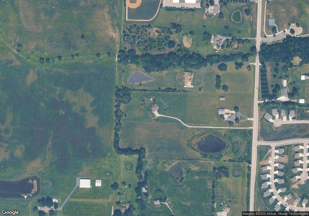
Map
Nearby Homes
- 1937 SW Hightown Dr
- 1933 SW Merryman Dr
- 1929 SW Hightown Dr
- 1925 SW Hightown Dr
- 1921 SW Hightown Dr
- 1917 SW Hightown Dr
- 4420 SW Grindstone Cir
- 4421 SW Grindstone Cir
- 4212 SW Stoney Brook Dr
- 4244 SW Stoney Brook Dr
- 3904 SW Flintrock Dr
- 3813 SW Maryville Place
- 3920 SW Stoney Brook Dr
- 3916 SW Flintrock Dr
- 3904 SW Stoney Brook Dr
- 3925 SW Flintrock Dr
- 3932 SW Flintrock Dr
- 3940 SW Flintrock Dr
- 3712 SW Walsh Dr
- 4404 SW Flintrock Dr
- 4380 SW Pryor Rd
- 4250 SW Pryor Rd
- 4200 SW Pryor Rd
- 2100 SW County Line Rd
- 2150 SW County Line Rd
- 4301 SW Pryor Rd
- 4255 SW Pryor Rd
- 14511 E 155th St
- 1906 N Jeter Rd
- 4408 SW Grindstone Cir
- 1906 N Prairie Ln
- 2250 SW County Line Rd
- 15507 Meadowbrook Ct
- 1909 SW Hightown Dr
- 4405 SW Grindstone Cir
- 4409 SW Grindstone Cir
- 1900 SW Merryman Dr
- 1812 N Jeter Rd
- 1809 N Jeter Rd
- 1828 SW Merryman Dr
Your Personal Tour Guide
Ask me questions while you tour the home.