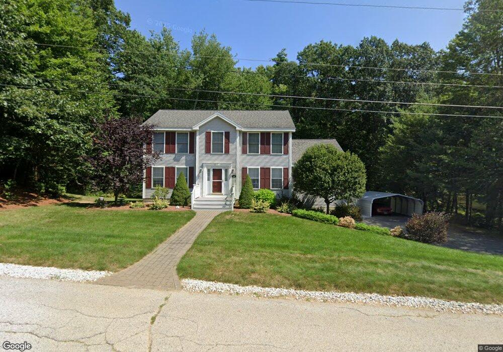
436 Deerpath Ln Pembroke, NH 03275
Estimated Value: $563,000 - $614,000
3
Beds
3
Baths
2,070
Sq Ft
$287/Sq Ft
Est. Value
About This Home
This home is located at 436 Deerpath Ln, Pembroke, NH 03275 and is currently estimated at $593,484, approximately $286 per square foot. 436 Deerpath Ln is a home located in Merrimack County with nearby schools including Pembroke Hill School, Pembroke Village School, and Three Rivers School.
Ownership History
Date
Name
Owned For
Owner Type
Purchase Details
Closed on
Apr 3, 2001
Sold by
Pear Tree Building Dev
Bought by
Eagle Joseph P and Eagle Bonnie J
Current Estimated Value
Home Financials for this Owner
Home Financials are based on the most recent Mortgage that was taken out on this home.
Original Mortgage
$154,900
Interest Rate
6.96%
Create a Home Valuation Report for This Property
The Home Valuation Report is an in-depth analysis detailing your home's value as well as a comparison with similar homes in the area
Home Values in the Area
Average Home Value in this Area
Purchase History
| Date | Buyer | Sale Price | Title Company |
|---|---|---|---|
| Eagle Joseph P | $193,700 | -- |
Source: Public Records
Mortgage History
| Date | Status | Borrower | Loan Amount |
|---|---|---|---|
| Open | Eagle Joseph P | $201,900 | |
| Closed | Eagle Joseph P | $214,000 | |
| Closed | Eagle Joseph P | $154,900 |
Source: Public Records
Tax History Compared to Growth
Tax History
| Year | Tax Paid | Tax Assessment Tax Assessment Total Assessment is a certain percentage of the fair market value that is determined by local assessors to be the total taxable value of land and additions on the property. | Land | Improvement |
|---|---|---|---|---|
| 2024 | $10,205 | $519,600 | $146,600 | $373,000 |
| 2023 | $9,000 | $322,800 | $97,700 | $225,100 |
| 2022 | $8,038 | $322,800 | $97,700 | $225,100 |
| 2021 | $7,747 | $322,800 | $97,700 | $225,100 |
| 2020 | $7,941 | $322,800 | $97,700 | $225,100 |
| 2019 | $7,612 | $322,800 | $97,700 | $225,100 |
| 2018 | $7,389 | $281,600 | $88,700 | $192,900 |
| 2017 | $8,380 | $281,600 | $88,700 | $192,900 |
| 2015 | $7,067 | $244,200 | $68,100 | $176,100 |
| 2014 | $7,253 | $244,200 | $68,100 | $176,100 |
| 2011 | $7,147 | $270,300 | $75,400 | $194,900 |
Source: Public Records
Map
Nearby Homes
- 412 Deerpath Ln
- 214 Pembroke St
- 347 Pembroke St
- 203 Brickett Hill Rd
- 509 Ashley Dr
- 440 Micol Rd
- 452 Blane Cir Unit 45
- 441 Blane Cir Unit 12
- 340 Brickett Hill Rd
- 344 Brickett Hill Rd Unit 2
- 344 Brickett Hill Rd
- 348 Brickett Hill Rd Unit 3
- 91 Whittemore Rd
- 425 Grady Ln Unit 28
- 10 Winchester Ct
- 245 Beacon Hill Rd Unit B
- 259 Pembroke St
- 101 4th Range Rd Unit 4
- 233 Pembroke St
- 307 Dearborn Rd
- 435 Deerpath Ln
- 438 Deerpath Ln
- 432 Deerpath Ln
- 429 Deerpath Ln
- 437 Deerpath Ln
- 440 Deerpath Ln
- 425 Deerpath Ln
- 439 Deerpath Ln
- 419 Deerpath Ln
- 421 Deerpath Ln
- 430 Deerpath Ln
- 417 Deerpath Ln
- 444 Deerpath Ln
- 443 Deerpath Ln
- 428 Deerpath Ln
- 413 Deerpath Ln
- 424 Deerpath Ln
- 420 Deerpath Ln
- 411 Deerpath Ln
- 418 Deerpath Ln