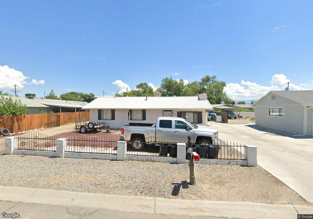
436 Doris Rd Grand Junction, CO 81504
Southeast Grand Junction NeighborhoodEstimated Value: $313,527 - $367,000
2
Beds
1
Bath
1,378
Sq Ft
$245/Sq Ft
Est. Value
About This Home
This home is located at 436 Doris Rd, Grand Junction, CO 81504 and is currently estimated at $337,632, approximately $245 per square foot. 436 Doris Rd is a home located in Mesa County with nearby schools including Pear Park Elementary School, Bookcliff Middle School, and Grand Junction High School.
Ownership History
Date
Name
Owned For
Owner Type
Purchase Details
Closed on
Apr 12, 2022
Sold by
Powell Edna F
Bought by
Powell Edna F and Powell Ken R
Current Estimated Value
Purchase Details
Closed on
Aug 29, 1995
Sold by
Cronister Effa F
Bought by
Powell Kenneth R
Purchase Details
Closed on
Dec 26, 1989
Sold by
Administrator Of Veterans Affairs
Bought by
Powell Kenneth R
Create a Home Valuation Report for This Property
The Home Valuation Report is an in-depth analysis detailing your home's value as well as a comparison with similar homes in the area
Home Values in the Area
Average Home Value in this Area
Purchase History
| Date | Buyer | Sale Price | Title Company |
|---|---|---|---|
| Powell Edna F | -- | None Listed On Document | |
| Powell Kenneth R | $75,000 | -- | |
| Powell Kenneth R | -- | -- |
Source: Public Records
Tax History
| Year | Tax Paid | Tax Assessment Tax Assessment Total Assessment is a certain percentage of the fair market value that is determined by local assessors to be the total taxable value of land and additions on the property. | Land | Improvement |
|---|---|---|---|---|
| 2024 | $667 | $15,920 | $3,260 | $12,660 |
| 2023 | $667 | $15,920 | $3,260 | $12,660 |
| 2022 | $503 | $13,640 | $3,480 | $10,160 |
| 2021 | $490 | $14,030 | $3,580 | $10,450 |
| 2020 | $383 | $11,210 | $2,500 | $8,710 |
| 2019 | $349 | $11,210 | $2,500 | $8,710 |
| 2018 | $372 | $10,740 | $1,980 | $8,760 |
| 2017 | $370 | $10,740 | $1,980 | $8,760 |
| 2016 | $349 | $11,420 | $2,190 | $9,230 |
Source: Public Records
Map
Nearby Homes
- 447 1/2 Doris Rd
- 3006 1/2 Oakwood Dr Unit 4A 4B
- 443 Florence Rd
- 3015 Oakwood Dr
- 2985 May Dr
- 3016 Autumn Glenn
- 3019 Oakwood Dr
- 3018 Oakwood Dr Unit 3A 3B
- 410 Marianne Dr
- 458 Arenosa St
- 458 Dodge St
- 2969 Noah Ct
- 394 Trenton Ct Unit B
- 409 Kallen Ct
- 2910 D Rd Unit 1 AC
- 2910 D Rd Unit 1 Acre
- 2910 D Rd Unit 3.2 AC
- 400 Brealyn Ct
- 3006 Gunnison Way
- 418 Pear Meadows St
Your Personal Tour Guide
Ask me questions while you tour the home.