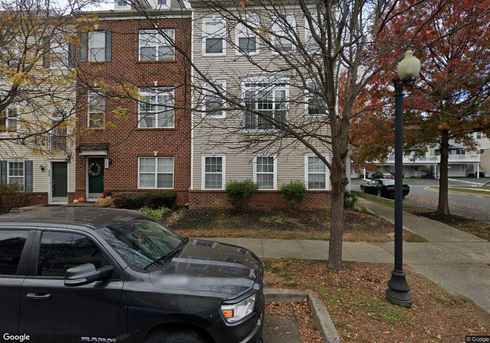
436 Toftrees Dr Middletown, DE 19709
Estimated Value: $359,000 - $420,000
3
Beds
4
Baths
1,760
Sq Ft
$227/Sq Ft
Est. Value
About This Home
This home is located at 436 Toftrees Dr, Middletown, DE 19709 and is currently estimated at $399,615, approximately $227 per square foot. 436 Toftrees Dr is a home located in New Castle County with nearby schools including Bunker Hill Elementary School, Everett Meredith Middle School, and Appoquinimink High School.
Ownership History
Date
Name
Owned For
Owner Type
Purchase Details
Closed on
Jun 18, 2010
Sold by
Woodin Elizabeth G
Bought by
Trinity Pines Property Llc
Current Estimated Value
Purchase Details
Closed on
Mar 9, 2009
Sold by
Woodin Richard C
Bought by
Silverlook Llc
Home Financials for this Owner
Home Financials are based on the most recent Mortgage that was taken out on this home.
Original Mortgage
$750,000
Interest Rate
5.25%
Mortgage Type
Construction
Purchase Details
Closed on
May 8, 2007
Sold by
Woodin Richard C and Chartwell Homes Inc
Bought by
Lifestyle Land Development Co Llc
Home Financials for this Owner
Home Financials are based on the most recent Mortgage that was taken out on this home.
Original Mortgage
$5,000,000
Interest Rate
6.23%
Mortgage Type
Purchase Money Mortgage
Create a Home Valuation Report for This Property
The Home Valuation Report is an in-depth analysis detailing your home's value as well as a comparison with similar homes in the area
Home Values in the Area
Average Home Value in this Area
Purchase History
| Date | Buyer | Sale Price | Title Company |
|---|---|---|---|
| Trinity Pines Property Llc | -- | None Available | |
| Woodin Elizabeth G | -- | None Available | |
| Woodin Richard C | -- | None Available | |
| Silverlook Llc | -- | None Available | |
| Woodin Richard C | -- | None Available | |
| Lifestyle Land Development Co Llc | $6,760,800 | None Available | |
| Woodin Richard C | -- | None Available |
Source: Public Records
Mortgage History
| Date | Status | Borrower | Loan Amount |
|---|---|---|---|
| Previous Owner | Woodin Richard C | $750,000 | |
| Previous Owner | Woodin Richard C | $5,000,000 |
Source: Public Records
Tax History
| Year | Tax Paid | Tax Assessment Tax Assessment Total Assessment is a certain percentage of the fair market value that is determined by local assessors to be the total taxable value of land and additions on the property. | Land | Improvement |
|---|---|---|---|---|
| 2024 | $230 | $76,800 | $3,500 | $73,300 |
| 2023 | $2,365 | $76,800 | $3,500 | $73,300 |
| 2022 | $2,361 | $76,800 | $3,500 | $73,300 |
| 2021 | $2,310 | $76,800 | $3,500 | $73,300 |
| 2020 | $2,282 | $76,800 | $3,500 | $73,300 |
| 2019 | $2,345 | $76,800 | $3,500 | $73,300 |
| 2018 | $2,024 | $76,800 | $3,500 | $73,300 |
| 2017 | $1,949 | $76,800 | $3,500 | $73,300 |
| 2016 | $1,751 | $76,800 | $3,500 | $73,300 |
| 2015 | $1,923 | $76,800 | $3,500 | $73,300 |
| 2014 | $1,919 | $76,800 | $3,500 | $73,300 |
Source: Public Records
Map
Nearby Homes
- 447 Toftrees Dr
- 211 Lake Seymour Dr
- 264 Trellis Ln
- 79 Lattice Ln
- 148 Gazebo Ln
- 162 Liborio Dr
- 610 Louis Ln
- 14 W Lake St
- 11 E Lockwood St
- 102 S Broad St
- 11 W Hoffecker St
- 25 Franklin Dr
- 113 Crawford St
- 12 E Cochran St
- 129 E Main St
- 561 Whispering Trail
- 102 E Redding St
- 108 E Cochran St
- 49 Springmill Dr
- 3 Redding Cir
- 434 Toftrees Dr
- 432 Toftrees Dr
- 430 Toftrees Dr
- 428 Toftrees Dr
- 438 Toftrees Dr
- 110 Merrimac Ave
- 112 Merrimac Ave
- 426 Toftrees Dr
- 108 Merrimac Ave
- 114 Merrimac Ave
- 437 Toftrees Dr
- 440 Toftrees Dr
- 435 Toftrees Dr
- 106 Merrimac Ave
- 433 Toftrees Dr
- 450 Toftrees Dr
- 116 Merrimac Ave
- 424 Toftrees Dr
- 431 Toftrees Dr
- 104 Merrimac Ave
Your Personal Tour Guide
Ask me questions while you tour the home.