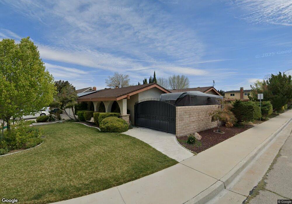
43620 Sugar St Lancaster, CA 93536
West Lancaster NeighborhoodEstimated Value: $499,000 - $614,000
4
Beds
2
Baths
2,982
Sq Ft
$193/Sq Ft
Est. Value
About This Home
This home is located at 43620 Sugar St, Lancaster, CA 93536 and is currently estimated at $576,014, approximately $193 per square foot. 43620 Sugar St is a home located in Los Angeles County with nearby schools including Sunnydale Elementary School, Amargosa Creek Middle School, and Lancaster High School.
Ownership History
Date
Name
Owned For
Owner Type
Purchase Details
Closed on
Oct 29, 2012
Sold by
Kamm Linda and Offman Lauren
Bought by
Montano Ronnie and Montano Angelica
Current Estimated Value
Home Financials for this Owner
Home Financials are based on the most recent Mortgage that was taken out on this home.
Original Mortgage
$176,739
Interest Rate
3.25%
Mortgage Type
FHA
Purchase Details
Closed on
Sep 5, 2012
Sold by
Kamm Linda and Coffman Lauren
Bought by
Kamm Linda and Coffman Lauren
Home Financials for this Owner
Home Financials are based on the most recent Mortgage that was taken out on this home.
Original Mortgage
$176,739
Interest Rate
3.25%
Mortgage Type
FHA
Create a Home Valuation Report for This Property
The Home Valuation Report is an in-depth analysis detailing your home's value as well as a comparison with similar homes in the area
Home Values in the Area
Average Home Value in this Area
Purchase History
| Date | Buyer | Sale Price | Title Company |
|---|---|---|---|
| Montano Ronnie | $180,000 | Fidelity National Title Co | |
| Kamm Linda | -- | None Available |
Source: Public Records
Mortgage History
| Date | Status | Borrower | Loan Amount |
|---|---|---|---|
| Previous Owner | Montano Ronnie | $176,739 |
Source: Public Records
Tax History
| Year | Tax Paid | Tax Assessment Tax Assessment Total Assessment is a certain percentage of the fair market value that is determined by local assessors to be the total taxable value of land and additions on the property. | Land | Improvement |
|---|---|---|---|---|
| 2025 | $4,100 | $221,643 | $44,325 | $177,318 |
| 2024 | $4,100 | $217,298 | $43,456 | $173,842 |
| 2023 | $4,017 | $213,038 | $42,604 | $170,434 |
| 2022 | $3,813 | $208,862 | $41,769 | $167,093 |
| 2021 | $3,409 | $204,767 | $40,950 | $163,817 |
| 2019 | $3,314 | $198,696 | $39,737 | $158,959 |
| 2018 | $3,256 | $194,801 | $38,958 | $155,843 |
| 2016 | $3,069 | $187,240 | $37,447 | $149,793 |
| 2015 | $3,031 | $184,428 | $36,885 | $147,543 |
| 2014 | $3,015 | $180,816 | $36,163 | $144,653 |
Source: Public Records
Map
Nearby Homes
- 43638 21st St W
- 43717 Albeck Ave
- 105 W Avenue K
- 7200 W Avenue K
- 72xx W Avenue K
- 0 70TH W Avenue K
- 2040 W Avenue j13
- 2040 W Avenue j13 Unit 19
- 2128 Edam St
- 43846 Johns Ct
- 0 W Avenue K-4 Unit SR25116674
- 2554 W Avenue j14
- 43336 22nd St W
- 43860 Fenner Ave
- 43954 Blue Sky Ct
- 2104 W Avenue j7
- 1824 W Avenue k4
- 44019 22nd St W
- 43352 Edson Ave
- 43337 Fanchon Ave
- 43630 Sugar St
- 43629 21st St W
- 2118 Spice St
- 43638 Sugar St
- 2126 Spice St
- 43627 Sugar St
- 43617 Sugar St
- 43639 21st St W
- 43635 Sugar St
- 2130 Spice St
- 2084 Spice St
- 43647 21st St W
- 43648 Sugar St
- 2200 W Avenue K
- 43645 Sugar St
- 2078 Spice St
- 2110 W Avenue K
- 43622 21st St W
- 43657 21st St W
- 43614 22nd St W
Your Personal Tour Guide
Ask me questions while you tour the home.