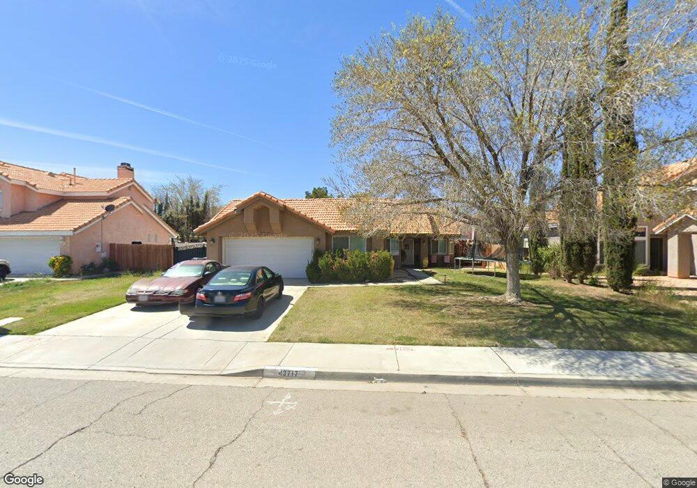
43717 22nd St E Lancaster, CA 93535
East Lancaster NeighborhoodEstimated Value: $358,000 - $454,000
About This Home
This home is located at 43717 22nd St E, Lancaster, CA 93535 and is currently estimated at $405,639, approximately $300 per square foot. 43717 22nd St E is a home located in Los Angeles County with nearby schools including Columbia Elementary School, Gifford C. Cole Middle School, and Eastside High School.
Ownership History
We collect this data history from publicly available records. To have your information removed, we recommend requesting removal directly through your county’s website.
Purchase Details
Home Financials for this Owner
Home Financials are based on the most recent Mortgage that was taken out on this home.Purchase Details
Purchase Details
Home Values in the Area
Average Home Value in this Area
Purchase History
We collect this data history from publicly available records. To have your information removed, we recommend requesting removal directly through your county’s website.
| Date | Buyer | Sale Price | Title Company |
|---|---|---|---|
| $80,000 | -- | ||
| -- | Benefit Land Title Ins Co | ||
| -- | Benefit Land Title Ins Co |
Mortgage History
We collect this data history from publicly available records. To have your information removed, we recommend requesting removal directly through your county’s website.
| Date | Status | Borrower | Loan Amount |
|---|---|---|---|
| Open | $80,164 |
Tax History
We collect this data history from publicly available records. To have your information removed, we recommend requesting removal directly through your county’s website.
| Year | Tax Paid | Tax Assessment Tax Assessment Total Assessment is a certain percentage of the fair market value that is determined by local assessors to be the total taxable value of land and additions on the property. | Land | Improvement |
|---|---|---|---|---|
| 2025 | $3,108 | $130,263 | $26,040 | $104,223 |
| 2024 | $2,951 | $127,710 | $25,530 | $102,180 |
| 2023 | $2,871 | $125,207 | $25,030 | $100,177 |
| 2022 | $2,731 | $122,753 | $24,540 | $98,213 |
| 2021 | $2,376 | $120,347 | $24,059 | $96,288 |
| 2019 | $2,334 | $116,780 | $23,347 | $93,433 |
| 2018 | $2,298 | $114,491 | $22,890 | $91,601 |
| 2016 | $2,203 | $110,047 | $22,002 | $88,045 |
| 2015 | $2,177 | $108,395 | $21,672 | $86,723 |
| 2014 | $2,194 | $106,273 | $21,248 | $85,025 |
Map
- 43659 Ponderosa St
- 2303 Rosewood Ave
- 43759 Dana Dr
- 43709 Castle Cir
- 2330 E Avenue j8 Unit 121
- 43659 Serenity Ct
- 2330 E Avenue J 8 Unit 121
- 43525 Palos Way
- 43850 20th St E Unit 83
- 43850 20th St E Unit 230
- 43850 20th St E Unit 261
- 43850 20th St E Unit 265
- 0 St Unit 26002646
- 2518 E Avenue k2
- 1768 Mesa Dr
- 1768 E Mesa Dr
- 1642 Bisbee Place
- 44053 Canyon Way
- 1853 Horizon Ln
- 43920 Comstock Ave
- 43717 Ponderosa St
- 43723 Ponderosa St
- 43711 Ponderosa St
- 43729 Ponderosa St
- 43722 22nd St E
- 43705 Ponderosa St
- 43710 22nd St E Unit E
- 43710 22nd St E
- 2221 Mulberry Ave
- 43728 22nd St E
- 43704 22nd St E
- 43724 Ponderosa St
- 43644 22nd St E
- 43735 Ponderosa St
- 43730 Ponderosa St
- 43734 22nd St E
- 43660 22nd St E
- 2225 Mulberry Ave
- 43741 Ponderosa St
- 43736 Ponderosa St
Ask me questions while you tour the home.