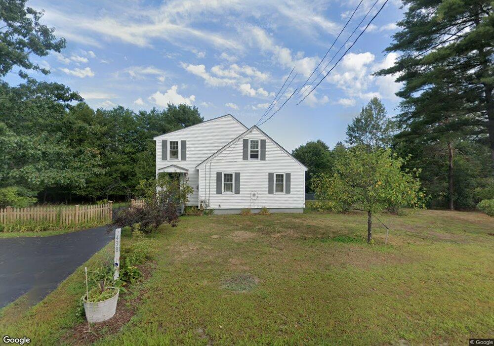
438 Clinton St Concord, NH 03301
South End NeighborhoodEstimated Value: $454,000 - $563,000
2
Beds
2
Baths
1,619
Sq Ft
$311/Sq Ft
Est. Value
About This Home
This home is located at 438 Clinton St, Concord, NH 03301 and is currently estimated at $503,400, approximately $310 per square foot. 438 Clinton St is a home with nearby schools including Abbot-Downing School, Rundlett Middle School, and Concord High School.
Ownership History
Date
Name
Owned For
Owner Type
Purchase Details
Closed on
Apr 1, 1996
Sold by
Matulaitis Edward E and Matulaitis Gail M
Bought by
Dosogne Monique M
Current Estimated Value
Home Financials for this Owner
Home Financials are based on the most recent Mortgage that was taken out on this home.
Original Mortgage
$66,500
Outstanding Balance
$2,996
Interest Rate
6.9%
Mortgage Type
Purchase Money Mortgage
Estimated Equity
$500,404
Create a Home Valuation Report for This Property
The Home Valuation Report is an in-depth analysis detailing your home's value as well as a comparison with similar homes in the area
Home Values in the Area
Average Home Value in this Area
Purchase History
| Date | Buyer | Sale Price | Title Company |
|---|---|---|---|
| Dosogne Monique M | $76,500 | -- |
Source: Public Records
Mortgage History
| Date | Status | Borrower | Loan Amount |
|---|---|---|---|
| Open | Dosogne Monique M | $66,500 |
Source: Public Records
Tax History Compared to Growth
Tax History
| Year | Tax Paid | Tax Assessment Tax Assessment Total Assessment is a certain percentage of the fair market value that is determined by local assessors to be the total taxable value of land and additions on the property. | Land | Improvement |
|---|---|---|---|---|
| 2024 | $7,486 | $270,350 | $135,850 | $134,500 |
| 2023 | $7,264 | $270,450 | $135,950 | $134,500 |
| 2022 | $7,005 | $270,550 | $136,050 | $134,500 |
| 2021 | $6,796 | $270,550 | $136,050 | $134,500 |
| 2020 | $6,167 | $230,450 | $107,750 | $122,700 |
| 2019 | $5,655 | $203,550 | $100,750 | $102,800 |
| 2018 | $5,713 | $202,650 | $93,350 | $109,300 |
| 2017 | $5,576 | $197,450 | $93,250 | $104,200 |
| 2016 | $5,387 | $194,700 | $93,200 | $101,500 |
| 2015 | $4,746 | $173,600 | $77,500 | $96,100 |
| 2014 | $4,654 | $173,600 | $77,500 | $96,100 |
| 2013 | -- | $176,650 | $77,550 | $99,100 |
| 2012 | -- | $173,200 | $73,800 | $99,400 |
Source: Public Records
Map
Nearby Homes
- 27 Brushwood Dr
- 167 Branch Londonderry Turnpike
- 490 Page Rd
- I3-03-05 Clinton St
- 8 Longview Dr
- 250 Grapevine Rd
- 5 Longview Dr
- 0 Farrington Corner Rd Unit 14
- 6 Woodland Cir
- 70 Gile Hill Rd
- 7 Currier Rd
- 77 White Rock Hill Rd
- 40 Sawmill Rd
- 256-0-17 Jewett Rd
- 0 Brown Hill Rd Unit 5032600
- 5 Holly Cir
- 0 George Rd Unit 30
- 4 Bow Center Rd Unit F2
- 4 Bow Center Rd Unit B2
- 22 Wilson Ave
- 439 Clinton St
- 453 Clinton St
- 443 Clinton St
- 457 Clinton St
- 454 Clinton St
- 461 Clinton St
- 465 Clinton St
- 470 Clinton St
- 469 Clinton St
- 474 Clinton St
- 473 Clinton St
- 480 Clinton St
- 475 Clinton St
- 14 Sagamore Ct Unit 3
- 59 Millstone Dr
- 16 Sagamore Ct Unit 4
- 16 Sagamore Ct
- 484 Clinton St
- 10 Sagamore St
- 15 Sagamore Ct