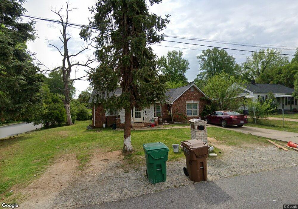
438 Friddle Dr High Point, NC 27260
Greater High Point NeighborhoodEstimated Value: $82,000 - $206,000
3
Beds
1
Bath
1,293
Sq Ft
$114/Sq Ft
Est. Value
About This Home
This home is located at 438 Friddle Dr, High Point, NC 27260 and is currently estimated at $147,557, approximately $114 per square foot. 438 Friddle Dr is a home located in Guilford County with nearby schools including Fairview Elementary School, Ferndale Middle School, and High Point Central High School.
Ownership History
Date
Name
Owned For
Owner Type
Purchase Details
Closed on
Mar 15, 2019
Sold by
Tahirkheli Rashid Ali and Tahirkheli Mah Jabeen
Bought by
Alonso Mendez Urias and Cruz Roque Ana Delia
Current Estimated Value
Purchase Details
Closed on
Dec 14, 2016
Sold by
Tahirkheli Rashid Ali and Tahirkheli Mah Jabeen
Bought by
Alonso Mendez Urias and Cruz Roque Ana Delia
Home Financials for this Owner
Home Financials are based on the most recent Mortgage that was taken out on this home.
Original Mortgage
$45,000
Interest Rate
3%
Mortgage Type
Seller Take Back
Purchase Details
Closed on
Jul 28, 2000
Sold by
John Allred
Bought by
Tahirkheli Rashid Ali and Tahirkheli Mah Jabeen Tahir Kheli
Home Financials for this Owner
Home Financials are based on the most recent Mortgage that was taken out on this home.
Original Mortgage
$22,000
Interest Rate
8.12%
Mortgage Type
Seller Take Back
Create a Home Valuation Report for This Property
The Home Valuation Report is an in-depth analysis detailing your home's value as well as a comparison with similar homes in the area
Home Values in the Area
Average Home Value in this Area
Purchase History
| Date | Buyer | Sale Price | Title Company |
|---|---|---|---|
| Alonso Mendez Urias | $38,000 | None Available | |
| Alonso Mendez Urias | $45,000 | None Available | |
| Tahirkheli Rashid Ali | $44,000 | -- |
Source: Public Records
Mortgage History
| Date | Status | Borrower | Loan Amount |
|---|---|---|---|
| Previous Owner | Alonso Mendez Urias | $45,000 | |
| Previous Owner | Tahirkheli Rashid Ali | $22,000 |
Source: Public Records
Tax History
| Year | Tax Paid | Tax Assessment Tax Assessment Total Assessment is a certain percentage of the fair market value that is determined by local assessors to be the total taxable value of land and additions on the property. | Land | Improvement |
|---|---|---|---|---|
| 2025 | $994 | $72,100 | $10,000 | $62,100 |
| 2024 | $994 | $72,100 | $10,000 | $62,100 |
| 2023 | $994 | $72,100 | $10,000 | $62,100 |
| 2022 | $972 | $72,100 | $10,000 | $62,100 |
| 2021 | $650 | $47,200 | $10,000 | $37,200 |
| 2020 | $617 | $44,800 | $10,000 | $34,800 |
| 2019 | $617 | $44,800 | $0 | $0 |
| 2018 | $614 | $44,800 | $0 | $0 |
| 2017 | $617 | $44,800 | $0 | $0 |
| 2016 | $749 | $53,400 | $0 | $0 |
| 2015 | $753 | $53,400 | $0 | $0 |
| 2014 | $766 | $53,400 | $0 | $0 |
Source: Public Records
Map
Nearby Homes
- 335 Nathan Hunt Dr
- 650 Wesley Dr
- 1103 Jefferson St
- 640 Wesley Dr
- 1012 Jefferson St
- 1010 Grace St
- 1309 Pershing St
- 1021 Asheboro St
- 1601 E Green Dr
- 1110 Worth St
- 1111 Winslow St
- 925 Randolph St
- 511 Hines St
- 909 Randolph St
- 705 Wise Ave
- 1004 Carter St
- 812 E Russell Ave
- 1314 Franklin Ave
- 1809 Franklin Ave
- 1015 Sharon St
Your Personal Tour Guide
Ask me questions while you tour the home.