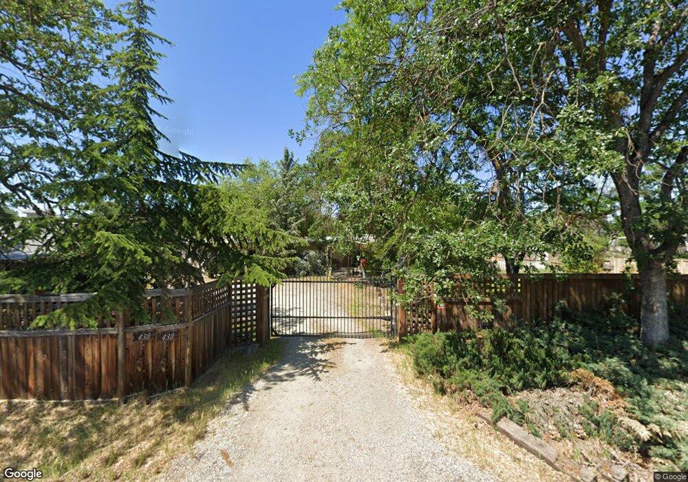
438 Gibbon Rd Central Point, OR 97502
Estimated Value: $389,000 - $478,000
4
Beds
2
Baths
1,874
Sq Ft
$227/Sq Ft
Est. Value
About This Home
This home is located at 438 Gibbon Rd, Central Point, OR 97502 and is currently estimated at $426,138, approximately $227 per square foot. 438 Gibbon Rd is a home located in Jackson County with nearby schools including Sams Valley Elementary School, Scenic Middle School, and Crater High School.
Ownership History
Date
Name
Owned For
Owner Type
Purchase Details
Closed on
Apr 7, 2010
Sold by
Hill Michael A and Hill Marti L
Bought by
Olson Philip and Olson Melissa
Current Estimated Value
Home Financials for this Owner
Home Financials are based on the most recent Mortgage that was taken out on this home.
Original Mortgage
$232,142
Outstanding Balance
$154,691
Interest Rate
5.01%
Mortgage Type
New Conventional
Estimated Equity
$271,447
Purchase Details
Closed on
Nov 19, 2001
Sold by
Watkins William C
Bought by
Hill Michael A
Home Financials for this Owner
Home Financials are based on the most recent Mortgage that was taken out on this home.
Original Mortgage
$109,800
Interest Rate
6.57%
Mortgage Type
Credit Line Revolving
Purchase Details
Closed on
Aug 13, 1999
Sold by
Watkins William C and Watkins Margaret
Bought by
Watkins William C
Create a Home Valuation Report for This Property
The Home Valuation Report is an in-depth analysis detailing your home's value as well as a comparison with similar homes in the area
Home Values in the Area
Average Home Value in this Area
Purchase History
| Date | Buyer | Sale Price | Title Company |
|---|---|---|---|
| Olson Philip | $227,500 | First American | |
| Hill Michael A | $83,500 | First American Title Ins Co | |
| Watkins William C | -- | -- |
Source: Public Records
Mortgage History
| Date | Status | Borrower | Loan Amount |
|---|---|---|---|
| Open | Olson Philip | $232,142 | |
| Previous Owner | Hill Michael A | $109,800 |
Source: Public Records
Tax History Compared to Growth
Tax History
| Year | Tax Paid | Tax Assessment Tax Assessment Total Assessment is a certain percentage of the fair market value that is determined by local assessors to be the total taxable value of land and additions on the property. | Land | Improvement |
|---|---|---|---|---|
| 2025 | $2,877 | $234,170 | $120,010 | $114,160 |
| 2024 | $2,877 | $227,350 | $81,430 | $145,920 |
| 2023 | $2,781 | $220,730 | $79,070 | $141,660 |
| 2022 | $3,092 | $220,730 | $79,070 | $141,660 |
| 2021 | $2,942 | $214,310 | $76,770 | $137,540 |
| 2020 | $2,883 | $208,070 | $74,530 | $133,540 |
| 2019 | $2,837 | $196,130 | $70,250 | $125,880 |
| 2018 | $2,585 | $190,420 | $68,210 | $122,210 |
| 2017 | $2,525 | $190,420 | $68,210 | $122,210 |
| 2016 | $2,488 | $179,500 | $64,290 | $115,210 |
| 2015 | $2,197 | $179,500 | $64,290 | $115,210 |
| 2014 | $2,144 | $169,210 | $60,600 | $108,610 |
Source: Public Records
Map
Nearby Homes
- 644 Raven
- 6850 Downing Rd Unit 44
- 6850 Downing Rd Unit 65
- 225 Wilson Rd
- 2035 Rabun Way
- 2598 St James Way
- 6199 Wilson Ln
- 1409 Twin Rocks Dr
- 2330 Savannah Dr
- 2248 Evan Way
- 2225 New Haven Dr
- 4922 Gebhard Rd
- 1729 E Gregory Rd
- 4730 Gebhard Rd
- 1121 Annalise St
- 1113 Annalise St
- 705 Mountain Ave
- 5156 Peace Ln
- 446 Beebe Rd
- 4595 Table Rock Rd