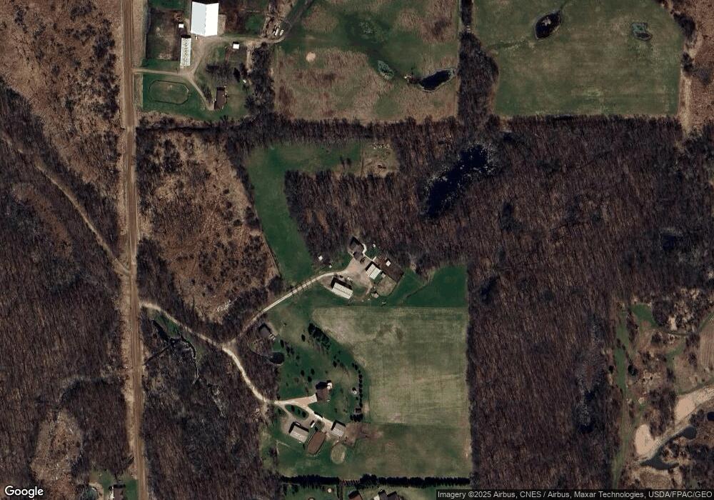
43863 Anchor Ave Harris, MN 55032
Estimated Value: $499,311 - $592,000
4
Beds
3
Baths
1,232
Sq Ft
$432/Sq Ft
Est. Value
About This Home
This home is located at 43863 Anchor Ave, Harris, MN 55032 and is currently estimated at $532,437, approximately $432 per square foot. 43863 Anchor Ave is a home located in Chisago County with nearby schools including Cambridge Primary School, Cambridge Intermediate School, and Cambridge Middle School.
Ownership History
Date
Name
Owned For
Owner Type
Purchase Details
Closed on
Jun 28, 2002
Sold by
Steer Construction Inc
Bought by
Parker Michael and Parker Angela
Current Estimated Value
Purchase Details
Closed on
Mar 18, 2002
Sold by
Ptl Llc
Bought by
Steer Construction
Purchase Details
Closed on
Feb 3, 1999
Sold by
Putz Ronald David and Putz Marilyn Elaine
Bought by
Ferguson Scott Allen and Ferguson Corrine Kay
Create a Home Valuation Report for This Property
The Home Valuation Report is an in-depth analysis detailing your home's value as well as a comparison with similar homes in the area
Purchase History
| Date | Buyer | Sale Price | Title Company |
|---|---|---|---|
| Parker Michael | $220,445 | -- | |
| Steer Construction | $75,100 | -- | |
| Ptl Llc | $10,000 | -- | |
| Steer Construction | $79,900 | -- | |
| Ptl Llc | $10,000 | -- | |
| Ferguson Scott Allen | $137,900 | -- |
Source: Public Records
Mortgage History
| Date | Status | Borrower | Loan Amount |
|---|---|---|---|
| Closed | Steer Construction | -- |
Source: Public Records
Tax History
| Year | Tax Paid | Tax Assessment Tax Assessment Total Assessment is a certain percentage of the fair market value that is determined by local assessors to be the total taxable value of land and additions on the property. | Land | Improvement |
|---|---|---|---|---|
| 2024 | $5,488 | $443,500 | $0 | $0 |
| 2023 | $5,488 | $440,900 | $124,800 | $316,100 |
| 2022 | $5,114 | $410,000 | $0 | $0 |
| 2021 | $4,490 | $343,200 | $0 | $0 |
| 2020 | $3,674 | $325,900 | $85,100 | $240,800 |
| 2019 | $3,400 | $0 | $0 | $0 |
| 2018 | $3,124 | $0 | $0 | $0 |
| 2017 | $3,010 | $0 | $0 | $0 |
| 2016 | $3,018 | $0 | $0 | $0 |
| 2015 | $3,016 | $0 | $0 | $0 |
| 2014 | -- | $210,100 | $0 | $0 |
Source: Public Records
Map
Nearby Homes
- 2320 Cedarcrest Ct
- TBD Cambridge Way
- 6475 Highway 95 NE
- 44080 Maple Ln
- 2629 Crestview Rd
- 34053 Hupp St NE
- TBD (Lot 1) Brunswick Rd
- TBD (Lot 2) Brunswick Rd
- 35219 Isetta Trail NE
- 32128 Virgo St NE
- XXX Virgo St NE
- 48XXX Anchor Ave
- TBD Virgo St NE
- TBD 313th Ave NE
- 48901 Anchor Ave
- 48801 Anchor Ave
- xxxx Virgo St NE
- 4828 361st Ave NE
- 3225 465th St
- 3724 345th Ave NE
- 43859 Anchor Ave
- 43655 Andee Ct
- 44039 Anchor Ave
- 43654 Andee Ct
- 43654 Andee Ct Unit C
- 43730 Anchor Ave
- 43600 Andee Ct
- 43605 Andee Ct
- 44201 Anchor Ave
- 43638 Anchor Ave
- 43557 Andee Ct
- 44226 Anchor Ave
- 43555 Anchor Ave
- 434XX Stark Rd
- 434xx Stark Road Ln
- 850 Stark Rd
- 44285 Anchor Ave
- 1054 Stark Rd
- 745 Stark Rd
- 43458 Andee Ave
