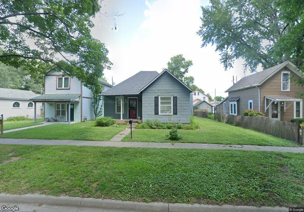
439 Elm St Lawrence, KS 66044
North Lawrence NeighborhoodEstimated Value: $172,000 - $207,000
2
Beds
1
Bath
868
Sq Ft
$218/Sq Ft
Est. Value
About This Home
This home is located at 439 Elm St, Lawrence, KS 66044 and is currently estimated at $189,432, approximately $218 per square foot. 439 Elm St is a home located in Douglas County with nearby schools including Woodlawn Elementary School, Liberty Memorial Central Middle School, and Lawrence Free State High School.
Ownership History
Date
Name
Owned For
Owner Type
Purchase Details
Closed on
Mar 16, 2018
Sold by
Sanders Dale and Sanders Donna K
Bought by
Kansas Rentals Llc
Current Estimated Value
Home Financials for this Owner
Home Financials are based on the most recent Mortgage that was taken out on this home.
Original Mortgage
$81,000
Outstanding Balance
$69,145
Interest Rate
4.22%
Mortgage Type
Commercial
Estimated Equity
$120,287
Create a Home Valuation Report for This Property
The Home Valuation Report is an in-depth analysis detailing your home's value as well as a comparison with similar homes in the area
Home Values in the Area
Average Home Value in this Area
Purchase History
| Date | Buyer | Sale Price | Title Company |
|---|---|---|---|
| Kansas Rentals Llc | -- | Kansas Secured Title |
Source: Public Records
Mortgage History
| Date | Status | Borrower | Loan Amount |
|---|---|---|---|
| Open | Kansas Rentals Llc | $81,000 |
Source: Public Records
Tax History Compared to Growth
Tax History
| Year | Tax Paid | Tax Assessment Tax Assessment Total Assessment is a certain percentage of the fair market value that is determined by local assessors to be the total taxable value of land and additions on the property. | Land | Improvement |
|---|---|---|---|---|
| 2025 | $1,806 | $15,348 | $5,175 | $10,173 |
| 2024 | $1,714 | $14,617 | $4,600 | $10,017 |
| 2023 | $1,693 | $13,570 | $4,025 | $9,545 |
| 2022 | $1,488 | $11,891 | $3,450 | $8,441 |
| 2021 | $1,317 | $10,028 | $2,760 | $7,268 |
| 2020 | $1,198 | $9,200 | $2,760 | $6,440 |
| 2019 | $1,197 | $9,200 | $2,760 | $6,440 |
| 2018 | $1,311 | $9,971 | $2,760 | $7,211 |
| 2017 | $1,327 | $9,971 | $2,766 | $7,205 |
| 2016 | $1,199 | $9,442 | $2,766 | $6,676 |
| 2015 | -- | $9,212 | $2,766 | $6,446 |
| 2014 | -- | $9,039 | $2,766 | $6,273 |
Source: Public Records
Map
Nearby Homes
- 516 Lake St
- 705 Rhode Island St Unit F
- 705 Rhode Island St Unit B
- 705 Rhode Island St Unit A
- 705 Rhode Island St Unit P
- 705 Rhode Island St Unit Q
- 705 Rhode Island St Unit J
- 705 Rhode Island St Unit E
- 705 Rhode Island St Unit K
- 705 Rhode Island St Unit D
- 705 Rhode Island St Unit C
- 705 Rhode Island St Unit N
- 705 Rhode Island St Unit H
- 705 Rhode Island St Unit L
- 705 Rhode Island St Unit G
- 705 Rhode Island St Unit M
- 809 Maple St
- 800 New Hampshire St Unit 204
- 619 W 4th St
- 505 Mississippi St