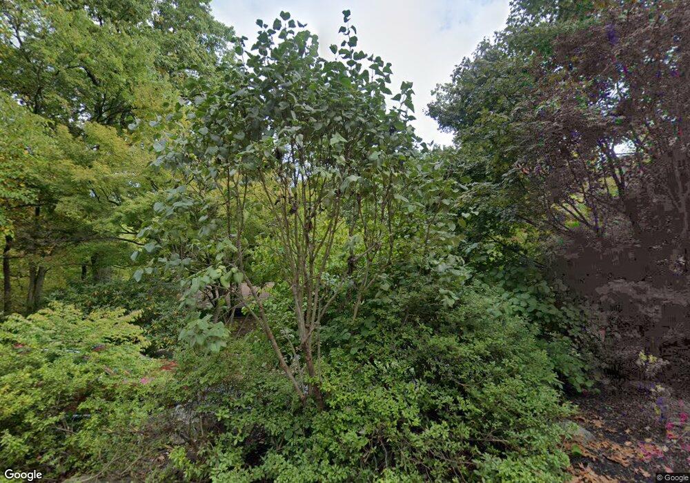
Estimated Value: $817,207 - $933,000
3
Beds
3
Baths
1,946
Sq Ft
$447/Sq Ft
Est. Value
About This Home
This home is located at 439 Saunders Dr, Wayne, PA 19087 and is currently estimated at $869,302, approximately $446 per square foot. 439 Saunders Dr is a home located in Chester County with nearby schools including New Eagle Elementary School, Valley Forge Middle School, and Conestoga Senior High School.
Ownership History
Date
Name
Owned For
Owner Type
Purchase Details
Closed on
Jul 18, 1997
Sold by
Mellor Stephen R and Mellor Anastazya Tomoko Wada
Bought by
Bailey William R and Taylor Melinda A
Current Estimated Value
Home Financials for this Owner
Home Financials are based on the most recent Mortgage that was taken out on this home.
Original Mortgage
$129,900
Outstanding Balance
$18,946
Interest Rate
7.7%
Estimated Equity
$850,356
Create a Home Valuation Report for This Property
The Home Valuation Report is an in-depth analysis detailing your home's value as well as a comparison with similar homes in the area
Home Values in the Area
Average Home Value in this Area
Purchase History
| Date | Buyer | Sale Price | Title Company |
|---|---|---|---|
| Bailey William R | $204,900 | -- |
Source: Public Records
Mortgage History
| Date | Status | Borrower | Loan Amount |
|---|---|---|---|
| Open | Bailey William R | $129,900 |
Source: Public Records
Tax History Compared to Growth
Tax History
| Year | Tax Paid | Tax Assessment Tax Assessment Total Assessment is a certain percentage of the fair market value that is determined by local assessors to be the total taxable value of land and additions on the property. | Land | Improvement |
|---|---|---|---|---|
| 2025 | $7,924 | $224,970 | $97,780 | $127,190 |
| 2024 | $7,924 | $224,970 | $97,780 | $127,190 |
| 2023 | $7,443 | $224,970 | $97,780 | $127,190 |
| 2022 | $578 | $224,970 | $97,780 | $127,190 |
| 2021 | $7,114 | $224,970 | $97,780 | $127,190 |
| 2020 | $6,917 | $224,970 | $97,780 | $127,190 |
| 2019 | $6,699 | $224,970 | $97,780 | $127,190 |
| 2018 | $6,566 | $224,970 | $97,780 | $127,190 |
| 2017 | $6,410 | $224,970 | $97,780 | $127,190 |
| 2016 | -- | $224,970 | $97,780 | $127,190 |
| 2015 | -- | $224,970 | $97,780 | $127,190 |
| 2014 | -- | $224,970 | $97,780 | $127,190 |
Source: Public Records
Map
Nearby Homes
- 575 W Valley Rd
- 642 Pugh Rd
- 443 Homestead Rd
- 1 Private Way
- 273 Strafford Ave
- 808 Berwyn Baptist Rd
- 211 Bella Vista Rd
- 2 Ile Dhuyere Unit 2
- 9 Avignon
- 6 Avignon Unit 6
- Lot 4 Rose Glenn
- Lot 7 Rose Glenn
- Lot 5 Rose Glenn
- 275 Old Forge Crossing Unit 275
- 363 Old Forge Crossing
- 92 Old Forge Crossing Unit 92
- 318 Old Forge Crossing Unit 318
- Lot 3 Rose Glenn
- Lot 6 Rose Glenn
- 22 Longwood Dr
- 447 Saunders Dr
- 544 Upper Weadley Rd
- 540 Willis Ln
- 459 Saunders Dr
- 436 Saunders Dr
- 444 Saunders Dr
- 469 Saunders Dr
- 558 Willis Ln
- 542 Upper Weadley Rd
- 454 Saunders Dr
- 540 Upper Weadley Rd
- 610 Arlyn Cir
- 462 Saunders Dr
- 616 Arlyn Cir
- 477 Saunders Dr
- 563 Willis Ln
- 526 Barton Ln
- 514 Barton Ln
- 574 Willis Ln
- 470 Saunders Dr
