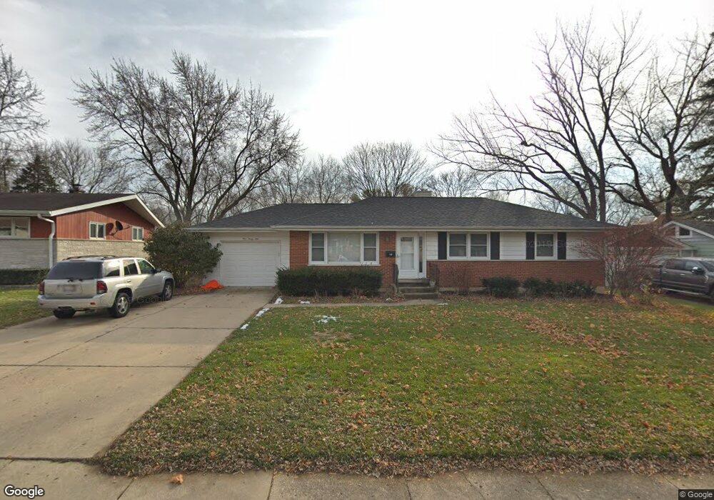
439 Scott St Algonquin, IL 60102
Estimated Value: $314,112 - $374,000
3
Beds
2
Baths
1,636
Sq Ft
$215/Sq Ft
Est. Value
About This Home
This home is located at 439 Scott St, Algonquin, IL 60102 and is currently estimated at $351,028, approximately $214 per square foot. 439 Scott St is a home located in McHenry County with nearby schools including Eastview Elementary School, Algonquin Middle School, and Dundee-Crown High School.
Ownership History
Date
Name
Owned For
Owner Type
Purchase Details
Closed on
Jul 20, 2005
Sold by
Zimmerman Anthony J
Bought by
Zimmerman Michael L and Zimmerman Suzanne R
Current Estimated Value
Home Financials for this Owner
Home Financials are based on the most recent Mortgage that was taken out on this home.
Original Mortgage
$132,000
Outstanding Balance
$68,995
Interest Rate
5.68%
Mortgage Type
Fannie Mae Freddie Mac
Estimated Equity
$282,033
Purchase Details
Closed on
Jun 6, 1996
Sold by
Zimmerman Anthony C
Bought by
Zimmerman Anthony C
Purchase Details
Closed on
Feb 13, 1995
Sold by
Silva Carl H and Silva Judith A
Bought by
Zimmerman Anthony C and Zimmerman Hermina H
Create a Home Valuation Report for This Property
The Home Valuation Report is an in-depth analysis detailing your home's value as well as a comparison with similar homes in the area
Purchase History
| Date | Buyer | Sale Price | Title Company |
|---|---|---|---|
| Zimmerman Michael L | $165,000 | Ticor | |
| Zimmerman Anthony C | -- | -- | |
| Zimmerman Anthony C | $145,000 | -- |
Source: Public Records
Mortgage History
| Date | Status | Borrower | Loan Amount |
|---|---|---|---|
| Open | Zimmerman Michael L | $132,000 |
Source: Public Records
Tax History
| Year | Tax Paid | Tax Assessment Tax Assessment Total Assessment is a certain percentage of the fair market value that is determined by local assessors to be the total taxable value of land and additions on the property. | Land | Improvement |
|---|---|---|---|---|
| 2024 | $7,172 | $91,679 | $12,829 | $78,850 |
| 2023 | $6,529 | $77,999 | $11,474 | $66,525 |
| 2022 | $5,023 | $64,566 | $15,770 | $48,796 |
| 2021 | $4,805 | $60,151 | $14,692 | $45,459 |
| 2020 | $4,671 | $58,022 | $14,172 | $43,850 |
| 2019 | $4,548 | $55,534 | $13,564 | $41,970 |
| 2018 | $4,318 | $51,301 | $12,530 | $38,771 |
| 2017 | $4,215 | $48,329 | $11,804 | $36,525 |
| 2016 | $4,136 | $45,328 | $11,071 | $34,257 |
| 2013 | -- | $54,145 | $10,328 | $43,817 |
Source: Public Records
Map
Nearby Homes
- 719 Webster St
- 600 E Algonquin Rd
- 1188 E Algonquin Rd
- 953 Old Oak Cir
- 0 River Dr N Unit MRD12473279
- 407 La Fox River Dr
- 21 Division St
- 1031 Timberwood Ln
- 0 Natoma Trail
- Lot 4 b Ryan Pkwy
- 1770 E Algonquin Rd
- lot 25 Wabican Trail
- 1420 Greenridge Ave
- Lot #3-5 Hayes Rd
- 1730 Tanglewood Dr
- 1782 Cumberland Pkwy
- 1321 Big Sur Pkwy
- 1906 Ozark Pkwy
- 1625 Powder Horn Dr
- 1923 Ozark Pkwy
Your Personal Tour Guide
Ask me questions while you tour the home.