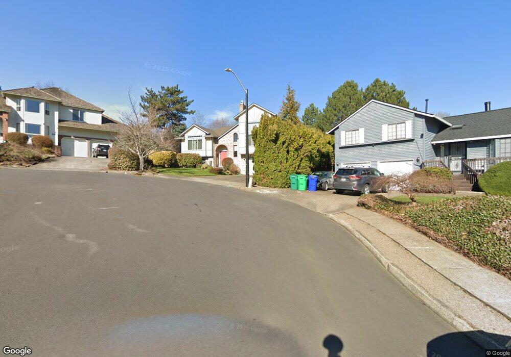
439 SE 16th St Gresham, OR 97080
Gresham Butte NeighborhoodEstimated Value: $598,000 - $632,000
4
Beds
3
Baths
2,569
Sq Ft
$239/Sq Ft
Est. Value
About This Home
This home is located at 439 SE 16th St, Gresham, OR 97080 and is currently estimated at $614,202, approximately $239 per square foot. 439 SE 16th St is a home located in Multnomah County with nearby schools including East Gresham Elementary School, Dexter McCarty Middle School, and Gresham High School.
Ownership History
Date
Name
Owned For
Owner Type
Purchase Details
Closed on
Jun 7, 2001
Sold by
Washington Mutual Bank
Bought by
Barendse Ronald A and Barendse Carolyn L
Current Estimated Value
Home Financials for this Owner
Home Financials are based on the most recent Mortgage that was taken out on this home.
Original Mortgage
$100,000
Interest Rate
7.14%
Mortgage Type
Seller Take Back
Purchase Details
Closed on
Jul 24, 2000
Sold by
Simpson Kenneth M
Bought by
Washington Mutual Bank
Create a Home Valuation Report for This Property
The Home Valuation Report is an in-depth analysis detailing your home's value as well as a comparison with similar homes in the area
Home Values in the Area
Average Home Value in this Area
Purchase History
| Date | Buyer | Sale Price | Title Company |
|---|---|---|---|
| Barendse Ronald A | $213,000 | Chicago Title Insurance Co | |
| Washington Mutual Bank | $230,744 | First American Title Co |
Source: Public Records
Mortgage History
| Date | Status | Borrower | Loan Amount |
|---|---|---|---|
| Closed | Barendse Ronald A | $100,000 |
Source: Public Records
Tax History
| Year | Tax Paid | Tax Assessment Tax Assessment Total Assessment is a certain percentage of the fair market value that is determined by local assessors to be the total taxable value of land and additions on the property. | Land | Improvement |
|---|---|---|---|---|
| 2025 | $8,506 | $418,010 | -- | -- |
| 2024 | $8,143 | $405,840 | -- | -- |
| 2023 | $7,419 | $394,020 | $0 | $0 |
| 2022 | $7,211 | $382,550 | $0 | $0 |
| 2021 | $7,030 | $371,410 | $0 | $0 |
| 2020 | $6,614 | $360,600 | $0 | $0 |
| 2019 | $6,441 | $350,100 | $0 | $0 |
| 2018 | $6,141 | $339,910 | $0 | $0 |
| 2017 | $5,892 | $330,010 | $0 | $0 |
| 2016 | $5,195 | $320,400 | $0 | $0 |
Source: Public Records
Map
Nearby Homes
- 511 SE 15th St
- 1407 SE Beech Place
- 0 SW Miller Ct Unit 470855683
- 1918 SE Regner Rd
- 55 SW Lovhar Dr
- 2074 SE Linden Place
- 1495 SE Evelyn Ct
- 2440 SE Regner Rd
- 875 SE 25th St
- 1691 SE Cedar Creek Place
- 625 SW Miller Ct
- 2573 SE Morlan Way
- 2581 SE Morlan Way
- 417 SE Roberts Ave
- 420 SE Linden Ave
- 242 SE 29th St
- 955 SE Hogan Rd
- 2672 SE Vista Way
- 1949 SE Palmquist Rd Unit 51
- 1949 SE Palmquist Rd Unit 91
- 421 SE 16th St
- 447 SE 16th St
- 1521 SE Kelly Ave
- 1517 SE Kelly Ave
- 432 SE 15th St
- 420 SE 15th St
- 1539 SE Kelly Ave
- 1505 SE Kelly Ave
- 412 SE 15th St
- 415 SE 16th St
- 403 SE 16th St
- 400 SE 15th St
- 1510 SE Kelly Ave
- 1522 SE Kelly Ave
- 437 SE 15th St
- 448 SE 16th St
- 427 SE 15th St
- 456 SE 16th St
- 508 SE 15th St
- 1536 SE Kelly Ave
Your Personal Tour Guide
Ask me questions while you tour the home.