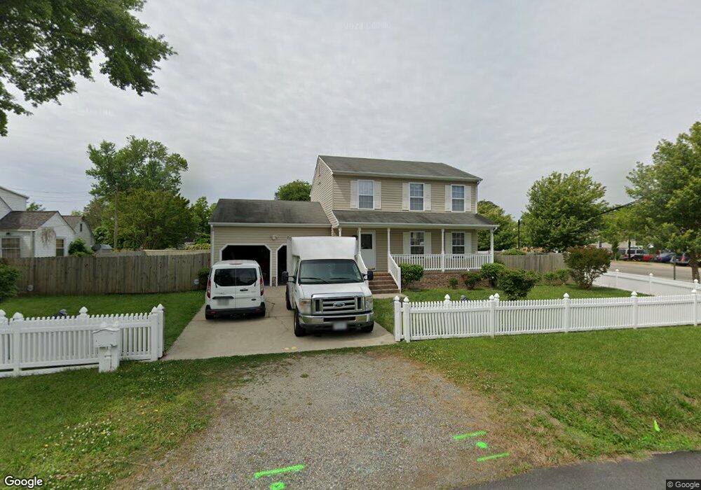
439 Seaboard Ave Hampton, VA 23664
Buckroe Beach NeighborhoodEstimated Value: $305,000 - $327,000
3
Beds
3
Baths
1,512
Sq Ft
$209/Sq Ft
Est. Value
About This Home
This home is located at 439 Seaboard Ave, Hampton, VA 23664 and is currently estimated at $316,168, approximately $209 per square foot. 439 Seaboard Ave is a home located in Hampton City with nearby schools including Jane H. Bryan Elementary School, Benjamin Syms Middle School, and Phoebus High School.
Ownership History
Date
Name
Owned For
Owner Type
Purchase Details
Closed on
Mar 11, 2011
Sold by
Stephens Vincent L
Bought by
Buntua Colin H
Current Estimated Value
Home Financials for this Owner
Home Financials are based on the most recent Mortgage that was taken out on this home.
Original Mortgage
$144,000
Outstanding Balance
$98,805
Interest Rate
5.07%
Mortgage Type
New Conventional
Estimated Equity
$217,363
Purchase Details
Closed on
Nov 16, 2004
Sold by
H W Moore Properties
Bought by
Stephens Vincent
Home Financials for this Owner
Home Financials are based on the most recent Mortgage that was taken out on this home.
Original Mortgage
$158,250
Interest Rate
5.63%
Mortgage Type
VA
Create a Home Valuation Report for This Property
The Home Valuation Report is an in-depth analysis detailing your home's value as well as a comparison with similar homes in the area
Home Values in the Area
Average Home Value in this Area
Purchase History
| Date | Buyer | Sale Price | Title Company |
|---|---|---|---|
| Buntua Colin H | $18,000 | -- | |
| Stephens Vincent | $154,950 | -- |
Source: Public Records
Mortgage History
| Date | Status | Borrower | Loan Amount |
|---|---|---|---|
| Open | Buntua Colin H | $144,000 | |
| Previous Owner | Stephens Vincent | $158,250 |
Source: Public Records
Tax History
| Year | Tax Paid | Tax Assessment Tax Assessment Total Assessment is a certain percentage of the fair market value that is determined by local assessors to be the total taxable value of land and additions on the property. | Land | Improvement |
|---|---|---|---|---|
| 2025 | $3,568 | $325,800 | $65,000 | $260,800 |
| 2024 | $3,127 | $271,900 | $65,000 | $206,900 |
| 2023 | $2,974 | $256,400 | $50,000 | $206,400 |
| 2022 | $2,790 | $236,400 | $45,000 | $191,400 |
| 2021 | $2,764 | $212,400 | $40,000 | $172,400 |
| 2020 | $2,382 | $192,100 | $40,300 | $151,800 |
| 2019 | $2,363 | $190,600 | $40,300 | $150,300 |
| 2018 | $2,457 | $190,600 | $40,300 | $150,300 |
| 2017 | $2,457 | $0 | $0 | $0 |
| 2016 | $2,457 | $190,600 | $0 | $0 |
| 2015 | $2,457 | $0 | $0 | $0 |
| 2014 | $2,187 | $190,600 | $40,300 | $150,300 |
Source: Public Records
Map
Nearby Homes
- 714 Grove St
- 2112 E Pembroke Ave
- 2051 Richard Ave
- 515 Buckroe Ave
- 9 Bayview Ct
- 123 N Sixth St
- 2013 N Mallory St
- 1527 Grove St
- 1622 Old Buckroe Rd
- 1642 Old Buckroe Rd
- 1642 N Mallory St
- 108 N First St
- 13 Cantamar Ct
- 128 N First St
- 17 Seaview Dr
- 9 Cantamar Ct
- 1510 Denton Dr
- 214 N First St
- 235 N First St
- 449 Benthall Rd
- 2210 E Pembroke Ave
- 437 Seaboard Ave
- 440 Seaboard Ave
- 2208 E Pembroke Ave
- 433 Seaboard Ave
- 438 Seaboard Ave
- 2206 E Pembroke Ave
- 2215 E Pembroke Ave
- 431 Seaboard Ave
- 2301 E Pembroke Ave
- 0 Atlantic Ave 350 352 Unit 7916512-11827847
- 436 Seaboard Ave
- 348 Atlantic Ave
- 350 Atlantic Ave
- 429 Seaboard Ave
- 429 Seaboard Ave Unit A
- E Pembroke Ave
- 2211 E Pembroke Ave
- 2304 E Pembroke Ave
- 346 Atlantic Ave
Your Personal Tour Guide
Ask me questions while you tour the home.