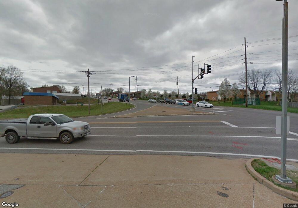
4390 Telegraph Rd Saint Louis, MO 63129
Mehlville NeighborhoodEstimated Value: $555,512
1
Bed
--
Bath
1,749
Sq Ft
$318/Sq Ft
Est. Value
About This Home
This home is located at 4390 Telegraph Rd, Saint Louis, MO 63129 and is currently estimated at $555,512, approximately $317 per square foot. 4390 Telegraph Rd is a home located in St. Louis County with nearby schools including Beasley Elementary School, Bernard Middle School, and Oakville Senior High School.
Ownership History
Date
Name
Owned For
Owner Type
Purchase Details
Closed on
Jan 28, 2022
Sold by
Breckenridge Hills Fuel Llc
Bought by
Bhagatji Llc
Current Estimated Value
Purchase Details
Closed on
Jul 26, 2013
Sold by
Key Auctions Llc
Bought by
Breckenridge Hills Fuel Llc
Home Financials for this Owner
Home Financials are based on the most recent Mortgage that was taken out on this home.
Original Mortgage
$225,000
Interest Rate
3.93%
Mortgage Type
Future Advance Clause Open End Mortgage
Create a Home Valuation Report for This Property
The Home Valuation Report is an in-depth analysis detailing your home's value as well as a comparison with similar homes in the area
Home Values in the Area
Average Home Value in this Area
Purchase History
| Date | Buyer | Sale Price | Title Company |
|---|---|---|---|
| Bhagatji Llc | -- | St Louis Title | |
| Breckenridge Hills Fuel Llc | $235,000 | Freedom Title Llc St Louis |
Source: Public Records
Mortgage History
| Date | Status | Borrower | Loan Amount |
|---|---|---|---|
| Previous Owner | Breckenridge Hills Fuel Llc | $300,000 | |
| Previous Owner | Breckenridge Hills Fuel Llc | $630,000 | |
| Previous Owner | Breckenridge Hills Fuel Llc | $162,000 | |
| Previous Owner | Breckenridge Hills Fuel Llc | $225,000 | |
| Previous Owner | G N W Enterprises Inc | $75,117 |
Source: Public Records
Tax History Compared to Growth
Tax History
| Year | Tax Paid | Tax Assessment Tax Assessment Total Assessment is a certain percentage of the fair market value that is determined by local assessors to be the total taxable value of land and additions on the property. | Land | Improvement |
|---|---|---|---|---|
| 2023 | $14,169 | $154,370 | $65,570 | $88,800 |
| 2022 | $11,637 | $128,900 | $65,570 | $63,330 |
| 2021 | $11,308 | $128,900 | $65,570 | $63,330 |
| 2020 | $9,615 | $109,600 | $40,990 | $68,610 |
| 2019 | $9,575 | $109,600 | $40,990 | $68,610 |
| 2018 | $10,803 | $117,630 | $40,990 | $76,640 |
| 2017 | $10,724 | $117,630 | $40,990 | $76,640 |
| 2016 | $11,033 | $118,080 | $40,990 | $77,090 |
| 2015 | $10,260 | $118,080 | $40,990 | $77,090 |
| 2014 | $10,507 | $118,910 | $79,970 | $38,940 |
Source: Public Records
Map
Nearby Homes
- 4322 Martyridge Dr
- 4460 Telegraph Rd
- 450 Mclaughlin Dr
- 2736 Ashrock Dr
- 538 Aqua Ridge Dr
- 525 Fairwick Dr
- 208 Rouen Dr
- 199 Tapestry Dr
- 231 Freeman Dr
- 4132 Pasco Dr
- 234 Toulon Dr
- 5371 Stonehurst Dr
- 117 E Donaldson Dr
- 4253 Snelson Dr
- 4501 Conleth Dr
- 342 Burncoate Dr
- 438 Rockview Dr
- 824 Ringer Ct
- 2738 Fordham Dr
- 849 Forder Crossing Dr
- 4335 Martyridge Ct
- 4331 Martyridge Ct
- 304 Forder Rd
- 4339 Martyridge Ct
- 4327 Martyridge Ct
- 4347 Martyridge Ct
- 4343 Martyridge Ct
- 304-342 Forder Rd
- 4351 Martyridge Ct
- 4323 Martyridge Ct
- 224 W Pottle Ave
- 2511 El Paulo Ct
- 4319 Martyridge Ct
- 4355 Martyridge Ct
- 4344 Martyridge Ct
- 4418 Telegraph Rd
- 4330 Martyridge Ct
- 4352 Martyridge Ct
- 4315 Martyridge Ct
- 4318 Martyridge Ct
