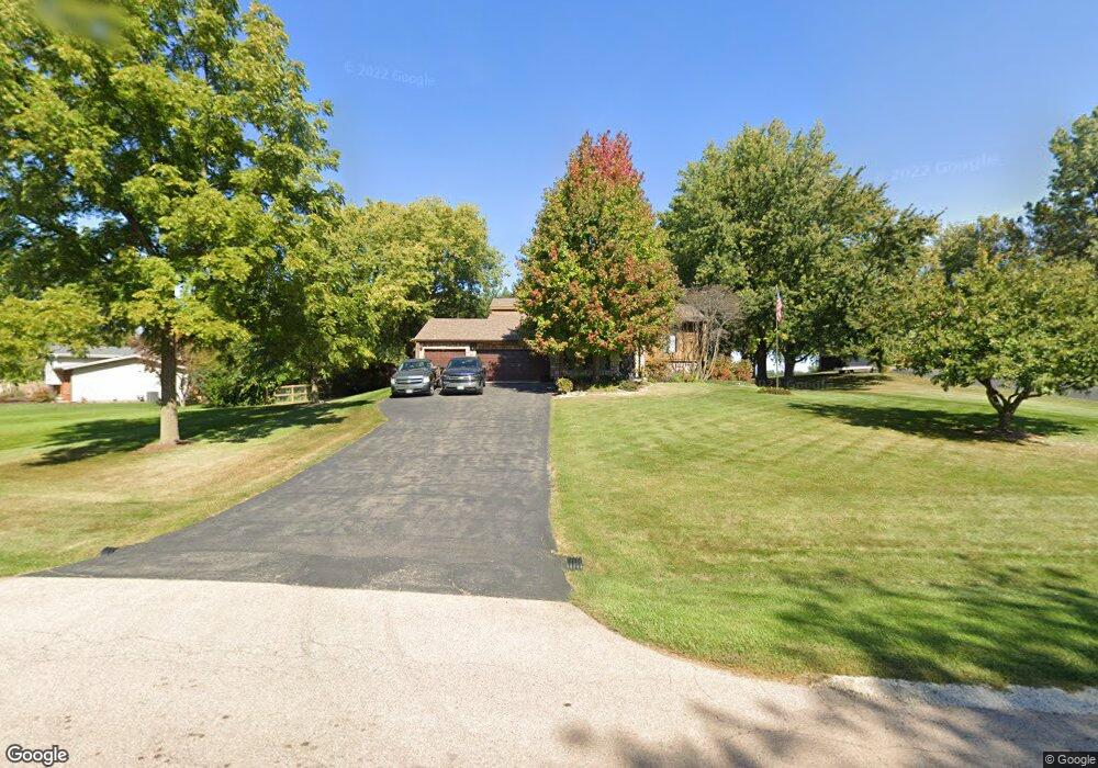
43W726 Kenmar Dr Elburn, IL 60119
Estimated Value: $467,789 - $511,000
3
Beds
3
Baths
2,236
Sq Ft
$218/Sq Ft
Est. Value
About This Home
This home is located at 43W726 Kenmar Dr, Elburn, IL 60119 and is currently estimated at $487,947, approximately $218 per square foot. 43W726 Kenmar Dr is a home located in Kane County with nearby schools including Kaneland Blackberry Creek Elementary School, Harter Middle School, and Kaneland Senior High School.
Create a Home Valuation Report for This Property
The Home Valuation Report is an in-depth analysis detailing your home's value as well as a comparison with similar homes in the area
Home Values in the Area
Average Home Value in this Area
Tax History Compared to Growth
Tax History
| Year | Tax Paid | Tax Assessment Tax Assessment Total Assessment is a certain percentage of the fair market value that is determined by local assessors to be the total taxable value of land and additions on the property. | Land | Improvement |
|---|---|---|---|---|
| 2024 | $8,661 | $123,961 | $20,064 | $103,897 |
| 2023 | $8,969 | $111,878 | $18,108 | $93,770 |
| 2022 | $7,791 | $93,448 | $16,619 | $76,829 |
| 2021 | $7,538 | $89,441 | $15,906 | $73,535 |
| 2020 | $7,409 | $87,345 | $15,533 | $71,812 |
| 2019 | $7,423 | $86,063 | $15,305 | $70,758 |
| 2018 | $7,114 | $81,166 | $15,305 | $65,861 |
| 2017 | $7,123 | $80,243 | $15,131 | $65,112 |
| 2016 | $7,801 | $84,918 | $19,171 | $65,747 |
| 2015 | -- | $81,332 | $18,423 | $62,909 |
| 2014 | -- | $88,803 | $20,500 | $68,303 |
| 2013 | -- | $88,803 | $20,500 | $68,303 |
Source: Public Records
Map
Nearby Homes
- 43W700 Kenmar Dr
- 43W754 Kenmar Dr
- 43W723 Kenmar Dr
- 43W674 Kenmar Dr
- 43W747 Kenmar Dr
- 43W771 Kenmar Dr
- 43W675 Kenmar Dr
- 43W785 Kenmar Dr
- 43W821 Kenmar Dr
- 0S156 Rowe Rd
- 0s030 Rowe Rd
- 0 Rowe Rd
- 0S090 Rowe Rd
- 43W835 Kenmar Dr Unit 1
- 7 Rowe Rd
- 0S123 Rowe Rd
- 0S172 Rowe Rd
- 0S025 Rowe Rd
- 0S097 Rowe Rd
- 0S145 Surrey Dr