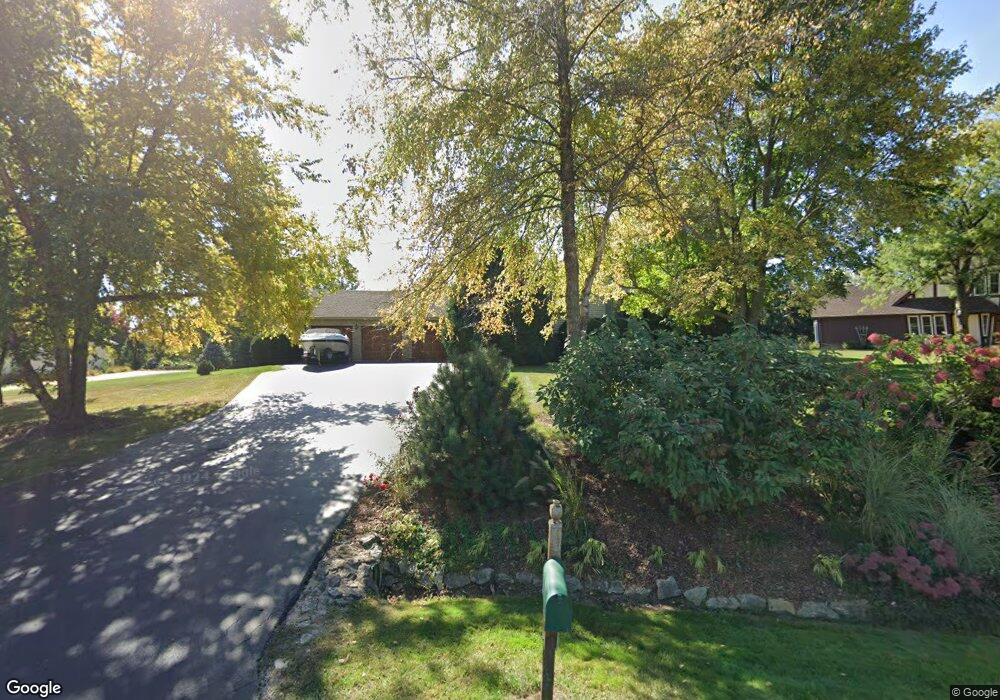
43W747 Kenmar Dr Elburn, IL 60119
Estimated Value: $413,841 - $548,000
2
Beds
2
Baths
1,519
Sq Ft
$319/Sq Ft
Est. Value
About This Home
This home is located at 43W747 Kenmar Dr, Elburn, IL 60119 and is currently estimated at $485,210, approximately $319 per square foot. 43W747 Kenmar Dr is a home located in Kane County with nearby schools including Kaneland Blackberry Creek Elementary School, Harter Middle School, and Kaneland Senior High School.
Ownership History
Date
Name
Owned For
Owner Type
Purchase Details
Closed on
Jul 29, 2002
Sold by
Praska Joseph E and Praska Karen A
Bought by
Jijminskas Vitaoutas and Zizminskiene Danute
Current Estimated Value
Home Financials for this Owner
Home Financials are based on the most recent Mortgage that was taken out on this home.
Original Mortgage
$200,000
Interest Rate
6.4%
Purchase Details
Closed on
Oct 30, 1995
Sold by
Ozgowicz Michael M and Ozgowicz Annette J
Bought by
Praska Joseph E and Praska Karen A
Home Financials for this Owner
Home Financials are based on the most recent Mortgage that was taken out on this home.
Original Mortgage
$170,000
Interest Rate
7.61%
Create a Home Valuation Report for This Property
The Home Valuation Report is an in-depth analysis detailing your home's value as well as a comparison with similar homes in the area
Home Values in the Area
Average Home Value in this Area
Purchase History
| Date | Buyer | Sale Price | Title Company |
|---|---|---|---|
| Jijminskas Vitaoutas | $270,000 | -- | |
| Praska Joseph E | $200,000 | -- |
Source: Public Records
Mortgage History
| Date | Status | Borrower | Loan Amount |
|---|---|---|---|
| Previous Owner | Jijminskas Vitaoutas | $200,000 | |
| Previous Owner | Praska Joseph E | $170,000 |
Source: Public Records
Tax History Compared to Growth
Tax History
| Year | Tax Paid | Tax Assessment Tax Assessment Total Assessment is a certain percentage of the fair market value that is determined by local assessors to be the total taxable value of land and additions on the property. | Land | Improvement |
|---|---|---|---|---|
| 2024 | $9,072 | $129,075 | $20,880 | $108,195 |
| 2023 | $9,367 | $116,494 | $18,845 | $97,649 |
| 2022 | $8,692 | $103,561 | $17,295 | $86,266 |
| 2021 | $8,412 | $99,120 | $16,553 | $82,567 |
| 2020 | $8,270 | $96,797 | $16,165 | $80,632 |
| 2019 | $8,287 | $95,376 | $15,928 | $79,448 |
| 2018 | $7,443 | $84,640 | $15,928 | $68,712 |
| 2017 | $7,453 | $83,678 | $15,747 | $67,931 |
| 2016 | $7,161 | $78,440 | $19,171 | $59,269 |
| 2015 | -- | $77,366 | $18,423 | $58,943 |
| 2014 | -- | $74,147 | $20,500 | $53,647 |
| 2013 | -- | $74,147 | $20,500 | $53,647 |
Source: Public Records
Map
Nearby Homes
- 43W723 Kenmar Dr
- 43W771 Kenmar Dr
- 0S156 Rowe Rd
- 43W726 Kenmar Dr
- 43W785 Kenmar Dr
- 43W754 Kenmar Dr
- 43W700 Kenmar Dr
- 43W821 Kenmar Dr
- 43W675 Kenmar Dr
- 0S172 Rowe Rd
- 43W674 Kenmar Dr
- 0S145 Surrey Dr
- 0S163 Surrey Dr
- 43W835 Kenmar Dr Unit 1
- 0S129 Surrey Dr
- 0S090 Rowe Rd
- 0S123 Rowe Rd
- 143 Rowe Rd
- 0S103 Surrey Dr
- 0S185 Rowe Rd