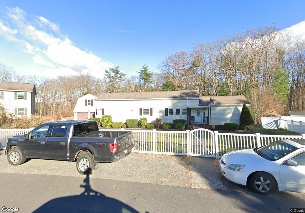
44 Alison Dr Seabrook, NH 03874
Estimated Value: $655,000 - $688,000
4
Beds
4
Baths
2,199
Sq Ft
$305/Sq Ft
Est. Value
About This Home
This home is located at 44 Alison Dr, Seabrook, NH 03874 and is currently estimated at $671,183, approximately $305 per square foot. 44 Alison Dr is a home located in Rockingham County with nearby schools including Seabrook Elementary School, Seabrook Middle School, and Winnacunnet High School.
Ownership History
Date
Name
Owned For
Owner Type
Purchase Details
Closed on
Sep 15, 2005
Sold by
Poland Mary Ann
Bought by
Macey Barry
Current Estimated Value
Home Financials for this Owner
Home Financials are based on the most recent Mortgage that was taken out on this home.
Original Mortgage
$220,000
Outstanding Balance
$117,627
Interest Rate
5.84%
Mortgage Type
Purchase Money Mortgage
Estimated Equity
$553,556
Create a Home Valuation Report for This Property
The Home Valuation Report is an in-depth analysis detailing your home's value as well as a comparison with similar homes in the area
Home Values in the Area
Average Home Value in this Area
Purchase History
| Date | Buyer | Sale Price | Title Company |
|---|---|---|---|
| Macey Barry | $280,000 | -- |
Source: Public Records
Mortgage History
| Date | Status | Borrower | Loan Amount |
|---|---|---|---|
| Open | Macey Barry | $220,000 |
Source: Public Records
Tax History Compared to Growth
Tax History
| Year | Tax Paid | Tax Assessment Tax Assessment Total Assessment is a certain percentage of the fair market value that is determined by local assessors to be the total taxable value of land and additions on the property. | Land | Improvement |
|---|---|---|---|---|
| 2024 | $6,284 | $536,200 | $218,700 | $317,500 |
| 2023 | $5,621 | $372,500 | $178,100 | $194,400 |
| 2022 | $4,936 | $372,500 | $178,100 | $194,400 |
| 2021 | $4,892 | $356,300 | $161,900 | $194,400 |
| 2020 | $5,688 | $280,900 | $129,600 | $151,300 |
| 2019 | $4,424 | $280,900 | $129,600 | $151,300 |
| 2018 | $4,389 | $270,100 | $118,800 | $151,300 |
| 2017 | $4,067 | $250,300 | $99,000 | $151,300 |
| 2016 | $3,702 | $250,300 | $99,000 | $151,300 |
| 2015 | $3,431 | $232,000 | $93,000 | $139,000 |
| 2014 | $3,543 | $232,000 | $93,000 | $139,000 |
| 2013 | $3,543 | $232,000 | $93,000 | $139,000 |
Source: Public Records
Map
Nearby Homes
- 22 Maple Ridge Rd
- 17 Riley Rd
- 462 New Zealand Rd
- 147 Weare Rd
- 51 Locust St
- 95 Lillian Ave
- 253 Amesbury Rd
- 27 Stacey Ave
- 96 Folly Mill Rd
- 20 Railroad Ave
- 38 Rocks Rd Unit 1
- 1 Marshall Way
- 100 Congress St
- 195 Amesbury Rd
- 46 Kensington Rd
- 1 Brown Ave Unit 3-80
- 3 Brown Ave Unit 75
- 21 Woodman Rd
- 57 Clinton St
- 10 High St