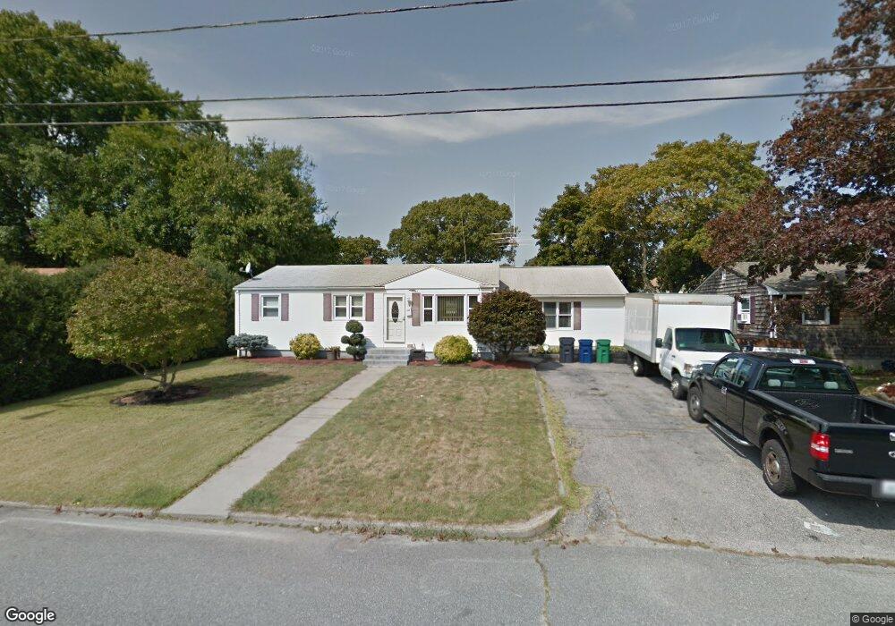
44 Duncan Rd Warwick, RI 02886
Buttonwoods NeighborhoodEstimated Value: $381,000 - $454,000
3
Beds
1
Bath
1,804
Sq Ft
$232/Sq Ft
Est. Value
About This Home
This home is located at 44 Duncan Rd, Warwick, RI 02886 and is currently estimated at $418,742, approximately $232 per square foot. 44 Duncan Rd is a home located in Kent County with nearby schools including St Rose Of Lima School and Eleanor Briggs School.
Ownership History
Date
Name
Owned For
Owner Type
Purchase Details
Closed on
Oct 26, 2006
Sold by
Vinacco Jeffrey and Vinacco Allison
Bought by
Broccoli Taylor and Bourgault John
Current Estimated Value
Home Financials for this Owner
Home Financials are based on the most recent Mortgage that was taken out on this home.
Original Mortgage
$250,000
Outstanding Balance
$148,574
Interest Rate
6.48%
Mortgage Type
Purchase Money Mortgage
Estimated Equity
$270,168
Purchase Details
Closed on
Aug 13, 1998
Sold by
Vinacco Bruce A and Vinacco Michael L
Bought by
Vinacco Bruce A
Create a Home Valuation Report for This Property
The Home Valuation Report is an in-depth analysis detailing your home's value as well as a comparison with similar homes in the area
Home Values in the Area
Average Home Value in this Area
Purchase History
| Date | Buyer | Sale Price | Title Company |
|---|---|---|---|
| Broccoli Taylor | $250,000 | -- | |
| Vinacco Bruce A | $30,000 | -- |
Source: Public Records
Mortgage History
| Date | Status | Borrower | Loan Amount |
|---|---|---|---|
| Open | Vinacco Bruce A | $250,000 | |
| Previous Owner | Vinacco Bruce A | $191,500 | |
| Previous Owner | Vinacco Bruce A | $178,500 |
Source: Public Records
Tax History Compared to Growth
Tax History
| Year | Tax Paid | Tax Assessment Tax Assessment Total Assessment is a certain percentage of the fair market value that is determined by local assessors to be the total taxable value of land and additions on the property. | Land | Improvement |
|---|---|---|---|---|
| 2025 | $4,638 | $365,200 | $111,900 | $253,300 |
| 2024 | $4,551 | $314,500 | $93,700 | $220,800 |
| 2023 | $4,463 | $314,500 | $93,700 | $220,800 |
| 2022 | $4,435 | $236,800 | $70,600 | $166,200 |
| 2021 | $4,435 | $236,800 | $70,600 | $166,200 |
| 2020 | $4,435 | $236,800 | $70,600 | $166,200 |
| 2019 | $4,435 | $236,800 | $70,600 | $166,200 |
| 2018 | $3,956 | $190,200 | $70,600 | $119,600 |
| 2017 | $3,850 | $190,200 | $70,600 | $119,600 |
| 2016 | $3,850 | $190,200 | $70,600 | $119,600 |
| 2015 | $3,662 | $176,500 | $68,200 | $108,300 |
| 2014 | $3,541 | $176,500 | $68,200 | $108,300 |
| 2013 | $3,493 | $176,500 | $68,200 | $108,300 |
Source: Public Records
Map
Nearby Homes
- 78 Keeley Ave
- 52 Inez Ave
- 151 Wethersfield Dr
- 161 Sunny Cove Dr
- 288 Cove Ave
- 85 Union Ave
- 110 Wethersfield Dr
- 95 Kerri Lyn Rd
- 62 Stone Ave
- 71 Macarthur Dr
- 199 Cottage Grove Ave
- 28 Bakers Creek Rd
- 5 Mill Wheel Rd
- 132 Bakers Creek Rd
- 79 Carpenter St
- 183 Shand Ave
- 3 Grant St
- 70 Turner St Unit C-6
- 137 Dickens St
- 311 Capron Farm Dr