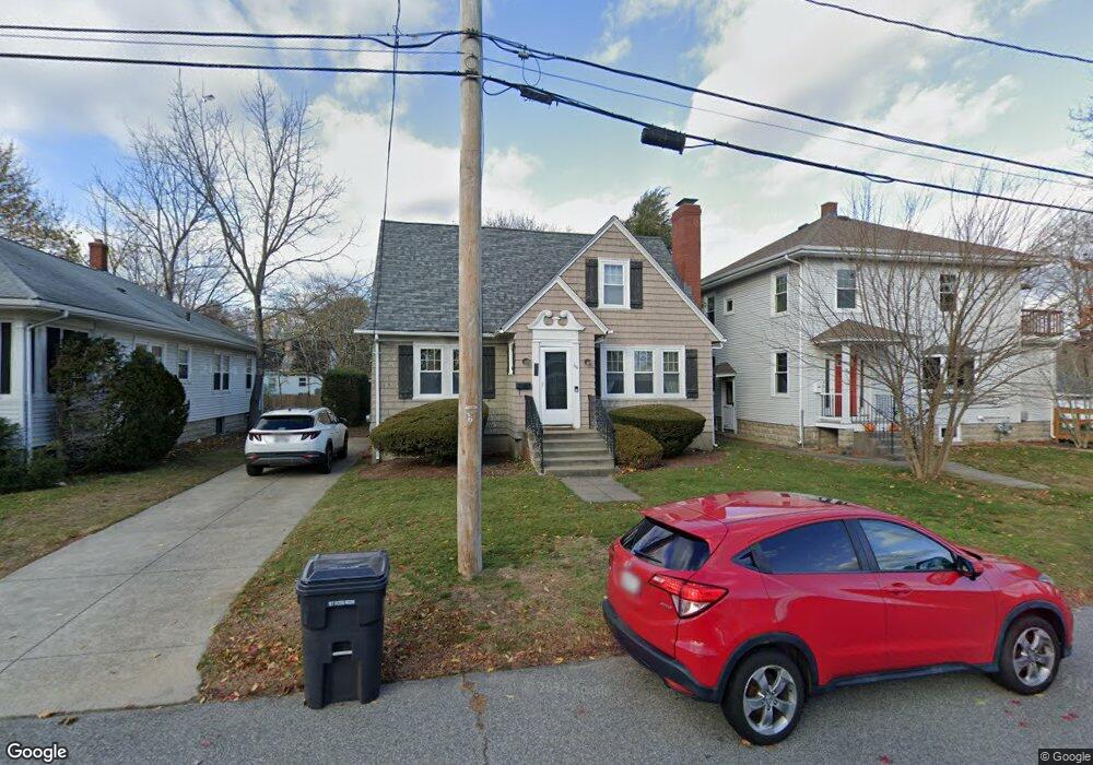
44 Euclid Ave Riverside, RI 02915
Riverside NeighborhoodEstimated Value: $463,862 - $494,000
3
Beds
2
Baths
1,920
Sq Ft
$253/Sq Ft
Est. Value
About This Home
This home is located at 44 Euclid Ave, Riverside, RI 02915 and is currently estimated at $484,966, approximately $252 per square foot. 44 Euclid Ave is a home located in Providence County with nearby schools including East Providence High School, St Mary Academy-Bay View, and The Gordon School.
Ownership History
Date
Name
Owned For
Owner Type
Purchase Details
Closed on
Apr 24, 2001
Sold by
Sadowski Eric and Sadowski Caroline
Bought by
Breen Kevin and Maynard Susan
Current Estimated Value
Home Financials for this Owner
Home Financials are based on the most recent Mortgage that was taken out on this home.
Original Mortgage
$111,920
Interest Rate
6.9%
Mortgage Type
Purchase Money Mortgage
Create a Home Valuation Report for This Property
The Home Valuation Report is an in-depth analysis detailing your home's value as well as a comparison with similar homes in the area
Home Values in the Area
Average Home Value in this Area
Purchase History
| Date | Buyer | Sale Price | Title Company |
|---|---|---|---|
| Breen Kevin | $140,000 | -- | |
| Breen Kevin | $140,000 | -- |
Source: Public Records
Mortgage History
| Date | Status | Borrower | Loan Amount |
|---|---|---|---|
| Open | Breen Kevin | $186,861 | |
| Closed | Breen Kevin | $40,000 | |
| Closed | Breen Kevin | $170,000 | |
| Closed | Breen Kevin | $111,920 |
Source: Public Records
Tax History Compared to Growth
Tax History
| Year | Tax Paid | Tax Assessment Tax Assessment Total Assessment is a certain percentage of the fair market value that is determined by local assessors to be the total taxable value of land and additions on the property. | Land | Improvement |
|---|---|---|---|---|
| 2025 | $4,818 | $368,600 | $85,500 | $283,100 |
| 2024 | $4,685 | $305,600 | $71,300 | $234,300 |
| 2023 | $4,511 | $305,600 | $71,300 | $234,300 |
| 2022 | $4,497 | $205,700 | $45,400 | $160,300 |
| 2021 | $4,423 | $205,700 | $44,000 | $161,700 |
| 2020 | $4,235 | $205,700 | $44,000 | $161,700 |
| 2019 | $4,118 | $205,700 | $44,000 | $161,700 |
| 2018 | $4,171 | $182,300 | $47,100 | $135,200 |
| 2017 | $4,078 | $182,300 | $47,100 | $135,200 |
| 2016 | $4,058 | $182,300 | $47,100 | $135,200 |
| 2015 | $3,842 | $167,400 | $46,100 | $121,300 |
| 2014 | $3,842 | $167,400 | $46,100 | $121,300 |
Source: Public Records
Map
Nearby Homes
- 1 Fales St
- 43 Bullocks Point Ave Unit 4C
- 6 Fuller Ave
- 25 Bullocks Point Ave Unit 5C
- 151 Willett Ave Unit 2
- 151 Willett Ave Unit 5
- 31 Bullocks Point Ave Unit 2A
- 3421 Pawtucket Ave
- 25 Arnold St
- 81 Sprague Ave
- 57 Harris St
- 88 Lincoln Ave
- 17 Oak Ave
- 25 Read St
- 536 Willett Ave
- 33 Pine St Unit 35
- 74 Plum Rd
- 1 Holly St
- 14 Waterview Ave Unit 16
- 25 Woodbine St