44 Hermit Cove Rd Moultonborough, NH 03254
Estimated Value: $894,000 - $1,103,000
1
Bed
2
Baths
991
Sq Ft
$996/Sq Ft
Est. Value
About This Home
This home is located at 44 Hermit Cove Rd, Moultonborough, NH 03254 and is currently estimated at $986,944, approximately $995 per square foot. 44 Hermit Cove Rd is a home located in Carroll County with nearby schools including Moultonborough Central School and Moultonborough Academy High School.
Ownership History
Date
Name
Owned For
Owner Type
Purchase Details
Closed on
Apr 6, 2023
Sold by
Williams Mark G
Bought by
Hermit Island Llc
Current Estimated Value
Purchase Details
Closed on
Jan 20, 2021
Sold by
Hermit Island Rt and Williams
Bought by
Williams Mark G
Create a Home Valuation Report for This Property
The Home Valuation Report is an in-depth analysis detailing your home's value as well as a comparison with similar homes in the area
Home Values in the Area
Average Home Value in this Area
Purchase History
| Date | Buyer | Sale Price | Title Company |
|---|---|---|---|
| Hermit Island Llc | $2,500,000 | None Available | |
| Hermit Island Llc | $2,500,000 | None Available | |
| Williams Mark G | -- | None Available | |
| Williams Mark G | -- | None Available |
Source: Public Records
Mortgage History
| Date | Status | Borrower | Loan Amount |
|---|---|---|---|
| Previous Owner | Hermit Island Rt | $250,000 |
Source: Public Records
Tax History Compared to Growth
Tax History
| Year | Tax Paid | Tax Assessment Tax Assessment Total Assessment is a certain percentage of the fair market value that is determined by local assessors to be the total taxable value of land and additions on the property. | Land | Improvement |
|---|---|---|---|---|
| 2024 | $5,000 | $885,000 | $786,600 | $98,400 |
| 2023 | $2,224 | $390,200 | $351,200 | $39,000 |
| 2022 | $1,640 | $343,000 | $305,400 | $37,600 |
| 2021 | $1,893 | $271,200 | $233,600 | $37,600 |
| 2020 | $1,768 | $247,900 | $210,300 | $37,600 |
| 2019 | $1,730 | $241,900 | $204,300 | $37,600 |
| 2018 | $1,642 | $212,700 | $175,100 | $37,600 |
| 2017 | $1,738 | $211,400 | $175,100 | $36,300 |
| 2016 | $1,753 | $200,600 | $169,200 | $31,400 |
| 2015 | $1,807 | $200,600 | $169,200 | $31,400 |
| 2014 | $1,805 | $203,700 | $169,200 | $34,500 |
| 2013 | $1,770 | $203,700 | $169,200 | $34,500 |
Source: Public Records
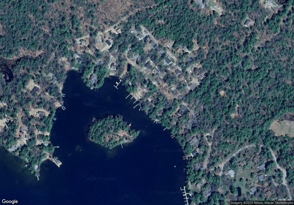
Map
Nearby Homes
- 31 Rays Way
- 23 Harbourside Dr
- 5 Ferry Rd
- Lot 16 Long Point Rd
- 16 Long Island Rd
- 29 Kona Farm Rd
- 62 Boathouse Rd
- 00 Moultonboro Neck Rd Unit 2
- 00 Moultonboro Neck Rd
- 4 Orton Ln
- 67 Hoyt Mill Rd
- 21 Orton Ln
- 00 Beede Rd
- 130 W Point Rd
- 65 Beede Rd
- 27 First Point Rd
- 10 Woodridge Rd
- 11 Geery Ln
- 167 Long Island Rd
- 19 Alderberry Ln
- 48 Hermit Cove Rd
- 50 Hermit Cove Rd
- 34 Hermit Cove Rd
- 43 Hermit Cove Rd
- 47 Hermit Cove Rd
- 49 Hermit Cove Rd
- 39 Hermit Cove Rd
- 33 Hermit Cove Rd
- 8 Connector Rd
- 22 Rays Way
- 36 Rays Way
- 210 Candleberry Ln
- 29 Hermit Cove Rd
- 20 Rays Way
- 18 Hermit Cove Rd
- 14 Rays Way
- 2 Hermit Island
- 25 Hermit Cove Rd
- 25 Lower Hermit Cove Road With Boat Slip
- 16 Connector Rd