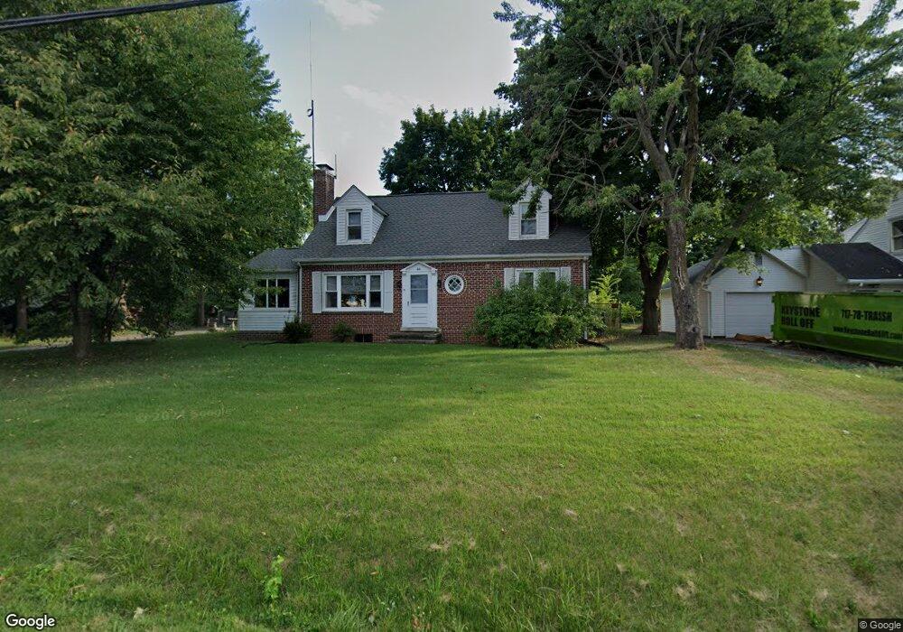
44 Maple St Gettysburg, PA 17325
Estimated Value: $224,000 - $306,000
3
Beds
1
Bath
1,760
Sq Ft
$154/Sq Ft
Est. Value
About This Home
This home is located at 44 Maple St, Gettysburg, PA 17325 and is currently estimated at $271,452, approximately $154 per square foot. 44 Maple St is a home located in Adams County with nearby schools including Rolling Acres El School, Maple Avenue Middle School, and Littlestown Senior High School.
Ownership History
Date
Name
Owned For
Owner Type
Purchase Details
Closed on
Jan 5, 2005
Sold by
Miller Roger L and Miller James V
Bought by
Baker William G and Baker Cathy L
Current Estimated Value
Home Financials for this Owner
Home Financials are based on the most recent Mortgage that was taken out on this home.
Original Mortgage
$146,840
Outstanding Balance
$73,745
Interest Rate
5.67%
Mortgage Type
FHA
Estimated Equity
$197,707
Create a Home Valuation Report for This Property
The Home Valuation Report is an in-depth analysis detailing your home's value as well as a comparison with similar homes in the area
Purchase History
| Date | Buyer | Sale Price | Title Company |
|---|---|---|---|
| Baker William G | $148,000 | -- |
Source: Public Records
Mortgage History
| Date | Status | Borrower | Loan Amount |
|---|---|---|---|
| Open | Baker William G | $146,840 |
Source: Public Records
Tax History
| Year | Tax Paid | Tax Assessment Tax Assessment Total Assessment is a certain percentage of the fair market value that is determined by local assessors to be the total taxable value of land and additions on the property. | Land | Improvement |
|---|---|---|---|---|
| 2025 | $4,555 | $185,100 | $75,000 | $110,100 |
| 2024 | $3,797 | $185,100 | $75,000 | $110,100 |
| 2023 | $3,684 | $185,100 | $75,000 | $110,100 |
| 2022 | $3,568 | $185,100 | $75,000 | $110,100 |
| 2021 | $3,452 | $185,100 | $75,000 | $110,100 |
| 2020 | $3,620 | $185,100 | $75,000 | $110,100 |
| 2019 | $3,546 | $185,100 | $75,000 | $110,100 |
| 2018 | $3,274 | $185,100 | $75,000 | $110,100 |
| 2017 | $3,182 | $185,100 | $75,000 | $110,100 |
| 2016 | -- | $185,100 | $75,000 | $110,100 |
| 2015 | -- | $185,100 | $75,000 | $110,100 |
| 2014 | -- | $185,100 | $75,000 | $110,100 |
Source: Public Records
Map
Nearby Homes
- 27 Maple St
- 99 Jessica Dr Unit 8
- 28 Bonniefield Cir Unit 25
- 13 N Pine St
- 27 Bonneau Heights Rd
- 9 Wheatland Dr
- 65 W Crest View Ln
- 780 White Hall Rd
- 0 White Hall Rd
- 477 Pleasanton Dr
- 464 Locust Ln
- 857 Hancock Dr Unit 857
- 837 Hancock Dr Unit 837
- 871 Sherman Dr Unit 871
- 627 Heritage Dr Unit 627
- 742 Harrison Dr
- 371 Heritage Dr Unit 371
- 279 Longstreet Dr Unit 279
- 243 Forrest Dr Unit 243
- 171 Longstreet Dr Unit 171
Your Personal Tour Guide
Ask me questions while you tour the home.