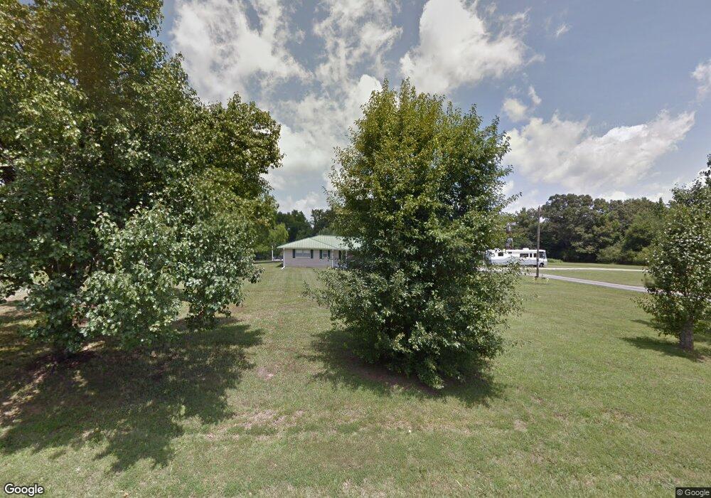
44 Mount Nebo Rd Loretto, TN 38469
Estimated Value: $253,000 - $307,974
3
Beds
2
Baths
2,027
Sq Ft
$145/Sq Ft
Est. Value
About This Home
This home is located at 44 Mount Nebo Rd, Loretto, TN 38469 and is currently estimated at $293,244, approximately $144 per square foot. 44 Mount Nebo Rd is a home located in Lawrence County with nearby schools including South Lawrence Elementary School, Lawrenceburg Public Elementary School, and Ingram Sowell Elementary School.
Ownership History
Date
Name
Owned For
Owner Type
Purchase Details
Closed on
Aug 9, 2017
Sold by
Mcmasters Brenda J
Bought by
Barturen Juan P and Barturen Maria
Current Estimated Value
Purchase Details
Closed on
Feb 11, 2016
Sold by
Mcmasters Ronald J
Bought by
Weathers Kirk B and Weathers Misty M
Purchase Details
Closed on
Aug 26, 2015
Sold by
Smith William Alton
Bought by
Mcmasters Ronald J and Mcmasters Brenda J
Purchase Details
Closed on
Jul 15, 1997
Sold by
Alton Smith William
Bought by
Eric Barnett
Purchase Details
Closed on
Jan 1, 1965
Bought by
Smith William Alton and Smith Estelene
Create a Home Valuation Report for This Property
The Home Valuation Report is an in-depth analysis detailing your home's value as well as a comparison with similar homes in the area
Home Values in the Area
Average Home Value in this Area
Purchase History
| Date | Buyer | Sale Price | Title Company |
|---|---|---|---|
| Barturen Juan P | $95,000 | None Available | |
| Weathers Kirk B | $15,000 | -- | |
| Mcmasters Ronald J | $135,000 | -- | |
| Eric Barnett | $7,500 | -- | |
| Philip Barnett | $3,000 | -- | |
| Smith William Alton | -- | -- |
Source: Public Records
Tax History Compared to Growth
Tax History
| Year | Tax Paid | Tax Assessment Tax Assessment Total Assessment is a certain percentage of the fair market value that is determined by local assessors to be the total taxable value of land and additions on the property. | Land | Improvement |
|---|---|---|---|---|
| 2024 | $1,335 | $57,050 | $2,875 | $54,175 |
| 2023 | $1,335 | $57,050 | $2,875 | $54,175 |
| 2022 | $1,335 | $57,050 | $2,875 | $54,175 |
| 2021 | $1,094 | $32,575 | $2,525 | $30,050 |
| 2020 | $1,094 | $32,575 | $2,525 | $30,050 |
| 2019 | $1,094 | $32,575 | $2,525 | $30,050 |
| 2018 | $1,078 | $32,575 | $2,525 | $30,050 |
| 2017 | $1,042 | $32,575 | $2,525 | $30,050 |
| 2016 | $1,116 | $32,475 | $2,425 | $30,050 |
| 2015 | $1,018 | $34,775 | $4,325 | $30,450 |
| 2014 | $1,005 | $34,325 | $4,325 | $30,000 |
Source: Public Records
Map
Nearby Homes
- 94 Oak Shadow Dr
- 0 Kitty Meyer Ln
- 110 Kitty Meyer Ln
- 624 2nd Ave S
- 599 Countryside Dr
- 176 Beartown Rd
- 188 Beartown Rd
- 0 S Old Military Rd Unit LotWP001 23902453
- 0 S Old Military Rd
- 3654 U S 43
- 200 Beartown Rd
- 411 2nd Ave S
- 194 Beartown Rd
- 236 Beartown Rd
- 200 Bear Dr
- 244 Beartown Rd
- 2 Beartown Rd
- 1 Beartown Rd
- 110 4th Ave
- 402 W Commerce St
- 767 2nd Ave S
- 766 2nd Ave S
- 52 Mount Nebo Rd
- 3552 Highway 43 S
- 756 2nd Ave S
- 55 Mount Nebo Rd
- 58 Mount Nebo Rd
- 3568 Highway 43 S
- 00 Countryside Dr
- 00 Countryside Dr
- 3570 Highway 43 S
- 739 Old Jackson Hwy
- 0 43 Hwy Unit 1917749
- 0 43 Hwy Unit 1722126
- 0 Old 43 Loop Rd
- 0 43 Hwy Unit 2043683
- 0 43 Hwy Unit 1982559
- 734 Old Jackson Hwy
- 266 Hwy 227w
- 451 Hwy 43s