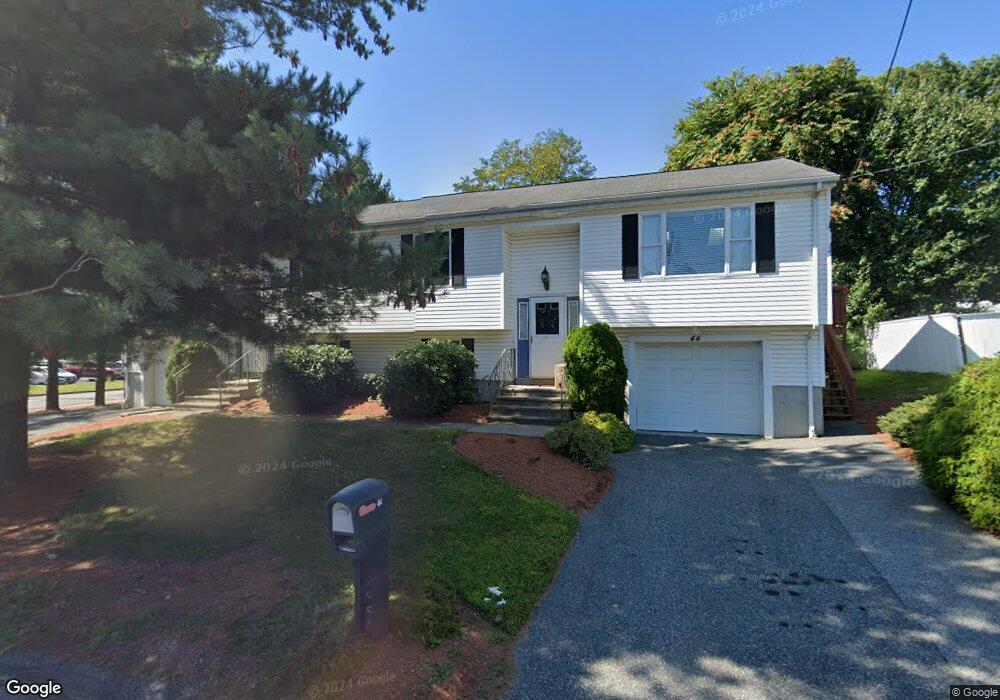
44 Rudolph St Unit A Worcester, MA 01604
Grafton Hill NeighborhoodEstimated Value: $456,000 - $716,000
3
Beds
2
Baths
1,200
Sq Ft
$527/Sq Ft
Est. Value
About This Home
This home is located at 44 Rudolph St Unit A, Worcester, MA 01604 and is currently estimated at $632,813, approximately $527 per square foot. 44 Rudolph St Unit A is a home located in Worcester County with nearby schools including Jacob Hiatt Magnet School, Chandler Magnet, and Rice Square Elementary School.
Ownership History
Date
Name
Owned For
Owner Type
Purchase Details
Closed on
Jan 31, 2022
Sold by
Bourque Sheila and Bourque Alfred
Bought by
Singh-Abrol Amrit and Taneja Shubbhi
Current Estimated Value
Home Financials for this Owner
Home Financials are based on the most recent Mortgage that was taken out on this home.
Original Mortgage
$510,000
Outstanding Balance
$471,163
Interest Rate
3.45%
Mortgage Type
Purchase Money Mortgage
Estimated Equity
$161,650
Purchase Details
Closed on
Jan 4, 2000
Sold by
Bourque Sheila
Bought by
Bernard Campanle T and Bernard Pff B
Create a Home Valuation Report for This Property
The Home Valuation Report is an in-depth analysis detailing your home's value as well as a comparison with similar homes in the area
Home Values in the Area
Average Home Value in this Area
Purchase History
| Date | Buyer | Sale Price | Title Company |
|---|---|---|---|
| Singh-Abrol Amrit | $600,000 | None Available | |
| Bernard Campanle T | $131,200 | -- |
Source: Public Records
Mortgage History
| Date | Status | Borrower | Loan Amount |
|---|---|---|---|
| Open | Singh-Abrol Amrit | $510,000 |
Source: Public Records
Tax History Compared to Growth
Tax History
| Year | Tax Paid | Tax Assessment Tax Assessment Total Assessment is a certain percentage of the fair market value that is determined by local assessors to be the total taxable value of land and additions on the property. | Land | Improvement |
|---|---|---|---|---|
| 2025 | $8,564 | $649,300 | $117,900 | $531,400 |
| 2024 | $8,287 | $602,700 | $117,900 | $484,800 |
| 2023 | $7,675 | $535,200 | $102,500 | $432,700 |
| 2022 | $7,829 | $514,700 | $82,000 | $432,700 |
| 2021 | $6,847 | $420,600 | $65,600 | $355,000 |
| 2020 | $5,840 | $343,500 | $65,600 | $277,900 |
| 2019 | $5,841 | $324,500 | $59,000 | $265,500 |
| 2018 | $5,998 | $317,200 | $59,000 | $258,200 |
| 2017 | $6,020 | $313,200 | $59,000 | $254,200 |
| 2016 | $5,905 | $286,500 | $43,000 | $243,500 |
| 2015 | $5,750 | $286,500 | $43,000 | $243,500 |
| 2014 | $5,598 | $286,500 | $43,000 | $243,500 |
Source: Public Records
Map
Nearby Homes
- 11 Benson St
- 63 Progressive St
- 53 Denver Terrace
- 61 Progressive St
- 62 Allston Ave
- 10 Lamar Ave
- 91 Standish St
- 83 Massasoit Rd
- 11 Phoenix St
- 25 Stoneham Rd
- 55 Standish St
- 247 Pilgrim Ave
- 259 Massasoit Rd
- 4 Everton Ave
- 266 Massasoit Rd
- 270 Sunderland Rd Unit 37
- 270 Sunderland Rd Unit 73
- 46 Vincent Cir
- 330 Sunderland Rd Unit 87
- 80 Delmont Ave