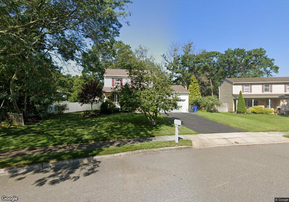
44 Shasta Ln Toms River, NJ 08753
Estimated Value: $519,855 - $581,000
3
Beds
2
Baths
2,412
Sq Ft
$234/Sq Ft
Est. Value
About This Home
This home is located at 44 Shasta Ln, Toms River, NJ 08753 and is currently estimated at $563,964, approximately $233 per square foot. 44 Shasta Ln is a home located in Ocean County.
Ownership History
Date
Name
Owned For
Owner Type
Purchase Details
Closed on
Nov 7, 2024
Sold by
Minarchi Brook and Minarchi Brooke
Bought by
Minarchi Living Trust and Minarchi
Current Estimated Value
Purchase Details
Closed on
Jul 11, 1996
Sold by
Martin Robert
Bought by
Minarchi Brook and Minarchi Darlene
Home Financials for this Owner
Home Financials are based on the most recent Mortgage that was taken out on this home.
Original Mortgage
$146,000
Interest Rate
8.37%
Purchase Details
Closed on
Mar 22, 1996
Sold by
Farrington James
Bought by
Martin Robert P
Create a Home Valuation Report for This Property
The Home Valuation Report is an in-depth analysis detailing your home's value as well as a comparison with similar homes in the area
Home Values in the Area
Average Home Value in this Area
Purchase History
| Date | Buyer | Sale Price | Title Company |
|---|---|---|---|
| Minarchi Living Trust | -- | None Listed On Document | |
| Minarchi Living Trust | -- | None Listed On Document | |
| Minarchi Living Trust | -- | None Listed On Document | |
| Minarchi Brook | $162,150 | -- | |
| Martin Robert P | $45,000 | -- |
Source: Public Records
Mortgage History
| Date | Status | Borrower | Loan Amount |
|---|---|---|---|
| Previous Owner | Minarchi Brook | $146,000 |
Source: Public Records
Tax History Compared to Growth
Tax History
| Year | Tax Paid | Tax Assessment Tax Assessment Total Assessment is a certain percentage of the fair market value that is determined by local assessors to be the total taxable value of land and additions on the property. | Land | Improvement |
|---|---|---|---|---|
| 2025 | $6,884 | $377,800 | $58,000 | $319,800 |
| 2024 | $6,540 | $377,800 | $58,000 | $319,800 |
| 2023 | $6,302 | $377,800 | $58,000 | $319,800 |
| 2022 | $6,302 | $377,800 | $58,000 | $319,800 |
| 2021 | $5,805 | $232,400 | $73,500 | $158,900 |
| 2020 | $5,780 | $232,400 | $73,500 | $158,900 |
| 2019 | $5,529 | $232,400 | $73,500 | $158,900 |
| 2018 | $5,473 | $232,400 | $73,500 | $158,900 |
| 2017 | $5,436 | $232,400 | $73,500 | $158,900 |
| 2016 | $5,308 | $232,400 | $73,500 | $158,900 |
| 2015 | $5,117 | $232,400 | $73,500 | $158,900 |
| 2014 | $4,864 | $232,400 | $73,500 | $158,900 |
Source: Public Records
Map
Nearby Homes
- 139 Mello Ln
- 133 Mello Ln
- 88 Circle Dr
- 125 Sherwood Ln
- 6 Cedar Tree Ln
- 99 Silver Bay Rd
- 200 Silver Bay Rd
- 161 Bay Stream Dr
- 2 Cedar Tree Ln
- 173 Bay Stream Dr
- 101 Reflection Rd
- 190 Bay Stream Dr
- 261 Aldo Dr
- 162 Bay Terrace
- 193 Bay Stream Dr
- 90 Kettle Creek Rd
- 52 16th St
- 166 Blue Sea Ln
- 221 Bay Stream Dr
- 230 Christoffer Terrace