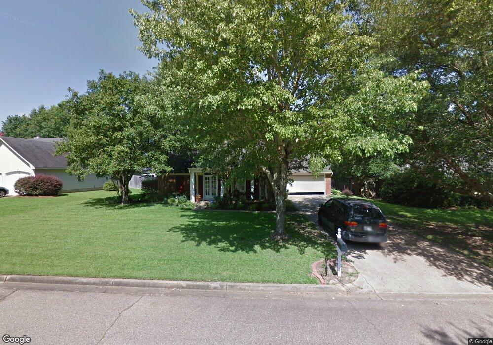
440 Mockingbird Ln Madison, MS 39110
Estimated Value: $260,609 - $286,000
3
Beds
2
Baths
1,862
Sq Ft
$147/Sq Ft
Est. Value
About This Home
This home is located at 440 Mockingbird Ln, Madison, MS 39110 and is currently estimated at $272,902, approximately $146 per square foot. 440 Mockingbird Ln is a home located in Madison County with nearby schools including Madison Avenue Upper Elementary School, Madison Avenue Elementary, and Madison Middle School.
Ownership History
Date
Name
Owned For
Owner Type
Purchase Details
Closed on
Jul 19, 2007
Sold by
Williams Tarrien M and Williams Sheronne Y
Bought by
Sigler Deborah and Sigler Christopher G
Current Estimated Value
Home Financials for this Owner
Home Financials are based on the most recent Mortgage that was taken out on this home.
Original Mortgage
$148,500
Outstanding Balance
$93,396
Interest Rate
6.71%
Mortgage Type
Purchase Money Mortgage
Estimated Equity
$179,506
Create a Home Valuation Report for This Property
The Home Valuation Report is an in-depth analysis detailing your home's value as well as a comparison with similar homes in the area
Home Values in the Area
Average Home Value in this Area
Purchase History
| Date | Buyer | Sale Price | Title Company |
|---|---|---|---|
| Sigler Deborah | -- | None Available |
Source: Public Records
Mortgage History
| Date | Status | Borrower | Loan Amount |
|---|---|---|---|
| Open | Sigler Deborah | $148,500 |
Source: Public Records
Tax History
| Year | Tax Paid | Tax Assessment Tax Assessment Total Assessment is a certain percentage of the fair market value that is determined by local assessors to be the total taxable value of land and additions on the property. | Land | Improvement |
|---|---|---|---|---|
| 2025 | $679 | $13,329 | $0 | $0 |
| 2024 | $679 | $13,329 | $0 | $0 |
| 2023 | $1,253 | $13,329 | $0 | $0 |
| 2022 | $1,253 | $13,329 | $0 | $0 |
| 2021 | $1,199 | $12,862 | $0 | $0 |
| 2020 | $1,199 | $12,862 | $0 | $0 |
| 2019 | $1,199 | $12,862 | $0 | $0 |
| 2018 | $1,199 | $12,862 | $0 | $0 |
| 2017 | $1,177 | $12,674 | $0 | $0 |
| 2016 | $1,177 | $12,674 | $0 | $0 |
| 2015 | $1,177 | $12,674 | $0 | $0 |
| 2014 | $1,345 | $14,120 | $0 | $0 |
Source: Public Records
Map
Nearby Homes
- 202 Saint Pierre Cove
- 106 Normandy Ct
- 325 Mockingbird Ln
- 717 Wildberry Pointe
- 268 Sundial Rd
- 865 Wellington Way
- 441 W Oak Cir
- 0 Christmas Ln
- 1241 Woodberry Dr
- 213 S Woodcreek Rd
- 1205 Woodberry Dr
- 112 Woodsong Way
- 114 Anna Cove
- 116 Anna Cove
- 216 Woodland Brook Dr
- 169 Saint Ives Dr
- 138 Oakmont Dr
- 0 Deerfield Dr Unit 4140244
- 129 Victoria Place
- 105 Victoria Place
- 436 Mockingbird Ln
- 444 Mockingbird Ln
- 832 Pickford Pointe
- 829 Pickford Pointe
- 432 Mockingbird Ln
- 448 Mockingbird Ln
- 441 Mockingbird Ln
- 437 Mockingbird Ln
- 445 Mockingbird Ln
- 826 Pickford Pointe
- 428 Mockingbird Ln
- 433 Mockingbird Ln
- 449 Mockingbird Ln
- 429 Mockingbird Ln
- 452 Mockingbird Ln
- 979 Bradford Pointe
- 823 Pickford Pointe
- 973 Bradford Pointe
- 453 Mockingbird Ln
- 817 Pickford Point
Your Personal Tour Guide
Ask me questions while you tour the home.