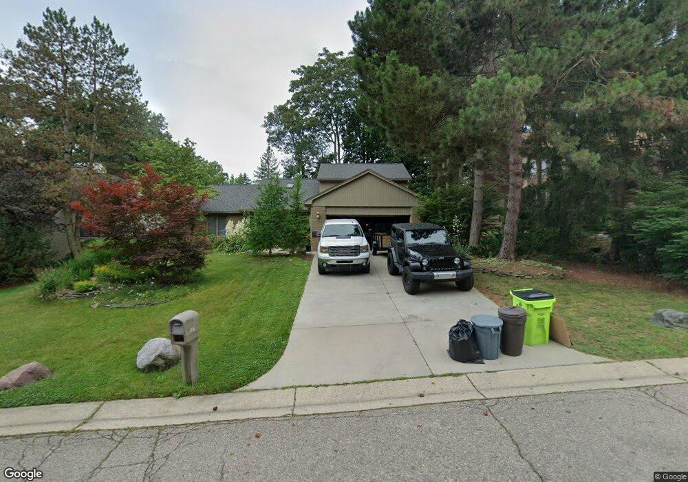
4403 Rolling Pine Dr West Bloomfield, MI 48323
Estimated Value: $467,036 - $627,000
4
Beds
3
Baths
2,529
Sq Ft
$223/Sq Ft
Est. Value
About This Home
This home is located at 4403 Rolling Pine Dr, West Bloomfield, MI 48323 and is currently estimated at $564,259, approximately $223 per square foot. 4403 Rolling Pine Dr is a home located in Oakland County with nearby schools including Walled Lake Central High School, The Susan And Rabbi Harold Loss Ecc, and Brookfield Academy - West Bloomfield.
Ownership History
Date
Name
Owned For
Owner Type
Purchase Details
Closed on
Aug 6, 2025
Sold by
Jerzy Jeffrey N and Jerzy Theresa A
Bought by
Jerzy Theresa A and Jeffrey And Theresa Jerzy Revocable Trust
Current Estimated Value
Purchase Details
Closed on
Apr 22, 2010
Sold by
Sulik Terri A and Sulik Jennifer
Bought by
Jerzy Jeffrey N and Jerzy Theresa A
Purchase Details
Closed on
Jul 20, 2007
Sold by
Lawrence Carol and Lawrence Dobrusin Carol
Bought by
Sulik Terri A and Sulik Jennifer
Purchase Details
Closed on
Jul 12, 2000
Sold by
Lawrence Thomas A
Bought by
Lawrence Carol
Purchase Details
Closed on
Dec 15, 1994
Sold by
Isada Kimberly A
Bought by
Lawrence Thomas A and Lawrence Carol J
Home Financials for this Owner
Home Financials are based on the most recent Mortgage that was taken out on this home.
Original Mortgage
$167,300
Interest Rate
9.23%
Mortgage Type
New Conventional
Create a Home Valuation Report for This Property
The Home Valuation Report is an in-depth analysis detailing your home's value as well as a comparison with similar homes in the area
Home Values in the Area
Average Home Value in this Area
Purchase History
| Date | Buyer | Sale Price | Title Company |
|---|---|---|---|
| Jerzy Theresa A | -- | None Listed On Document | |
| Jerzy Jeffrey N | $185,000 | Ltic | |
| Sulik Terri A | $350,000 | None Available | |
| Lawrence Carol | -- | -- | |
| Lawrence Thomas A | $209,228 | -- |
Source: Public Records
Mortgage History
| Date | Status | Borrower | Loan Amount |
|---|---|---|---|
| Previous Owner | Lawrence Thomas A | $167,300 |
Source: Public Records
Tax History Compared to Growth
Tax History
| Year | Tax Paid | Tax Assessment Tax Assessment Total Assessment is a certain percentage of the fair market value that is determined by local assessors to be the total taxable value of land and additions on the property. | Land | Improvement |
|---|---|---|---|---|
| 2024 | $3,204 | $211,520 | $0 | $0 |
| 2022 | $3,021 | $196,180 | $24,200 | $171,980 |
| 2021 | $4,974 | $202,330 | $0 | $0 |
| 2020 | $2,985 | $198,710 | $24,200 | $174,510 |
| 2018 | $4,850 | $168,500 | $24,200 | $144,300 |
| 2015 | -- | $147,230 | $0 | $0 |
| 2014 | -- | $138,180 | $0 | $0 |
| 2011 | -- | $133,140 | $0 | $0 |
Source: Public Records
Map
Nearby Homes
- 4442 Borland St
- 4540 Rolling Pine Ct
- 6980 Hambro St
- 6675 Langtoft St
- 4066 Green Lake Rd
- 0000 Langtoft
- 4335 Crestdale Ave
- 6978 Colony Dr
- 3991 Fieldview Ave
- 4245 Bunker Ave
- 3965 Carrick Ave
- 3950 Bradmore Ave
- 6903 Dandison Blvd
- 4212 Greendale Ave
- 7337 Richardson Rd
- 7381 Crestmore St
- 6768 Buckland Ave
- 7545/7585 Pontiac Trail
- 7585/7548 Pontiac Trail
- 6140 Pontiac Trail
- 4409 Rolling Pine Dr
- 4397 Rolling Pine Dr
- 4495 Borland St
- 4515 Borland St
- 4481 Borland St
- 4406 Rolling Pine Dr
- 4415 Rolling Pine Dr
- 4418 Rolling Pine Dr
- 4385 Rolling Pine Dr
- 4396 Rolling Pine Dr
- 4461 Borland St
- 4533 Borland St Unit Bldg-Unit
- 4533 Borland St
- 4490 Borland St
- 0000 Renshaw St
- 0000 Renshaw St
- 0 Renshaw Unit 4913859
- 0 Renshaw Unit 4913858
- 0 Renshaw Unit 4921592
- 0 Renshaw Unit 4922453