Estimated Value: $424,000 - $426,747
Studio
1
Bath
1,773
Sq Ft
$240/Sq Ft
Est. Value
About This Home
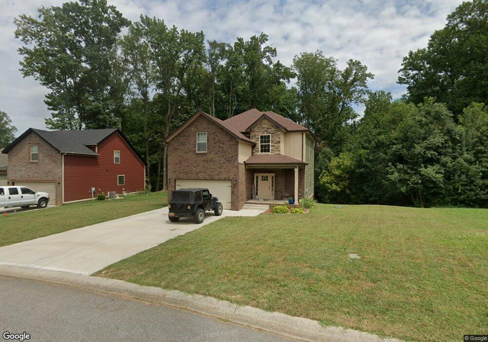
This home is located at 4406 Memory Ln Unit 39, Adams, TN 37010 and is currently estimated at $425,687, approximately $240 per square foot. 4406 Memory Ln Unit 39 is a home located in Montgomery County with nearby schools including Carmel Elementary School, Rossview Middle School, and Rossview High School.
Ownership History
Date
Name
Owned For
Owner Type
Purchase Details
Closed on
May 5, 2022
Sold by
Wyatt William H
Bought by
Lasseter Eric
Current Estimated Value
Home Financials for this Owner
Home Financials are based on the most recent Mortgage that was taken out on this home.
Original Mortgage
$404,040
Interest Rate
5.81%
Mortgage Type
VA
Purchase Details
Closed on
Feb 25, 2021
Sold by
Johnson Rufus S
Bought by
Wyatt William H and Wyatt Christopher C
Home Financials for this Owner
Home Financials are based on the most recent Mortgage that was taken out on this home.
Original Mortgage
$267,200
Interest Rate
2.7%
Mortgage Type
Construction
Purchase Details
Closed on
Apr 6, 2015
Sold by
Johnson Rufus S
Bought by
Johnson Rufus S and Russell Russell & Waddle Inc
Create a Home Valuation Report for This Property
The Home Valuation Report is an in-depth analysis detailing your home's value as well as a comparison with similar homes in the area
Purchase History
| Date | Buyer | Sale Price | Title Company |
|---|---|---|---|
| Lasseter Eric | $390,000 | Tennessee National Title | |
| Wyatt William H | $57,900 | None Available | |
| Johnson Rufus S | -- | -- |
Source: Public Records
Mortgage History
| Date | Status | Borrower | Loan Amount |
|---|---|---|---|
| Previous Owner | Lasseter Eric | $404,040 | |
| Previous Owner | Wyatt William H | $267,200 |
Source: Public Records
Tax History
| Year | Tax Paid | Tax Assessment Tax Assessment Total Assessment is a certain percentage of the fair market value that is determined by local assessors to be the total taxable value of land and additions on the property. | Land | Improvement |
|---|---|---|---|---|
| 2024 | $1,874 | $89,250 | $0 | $0 |
| 2023 | $1,874 | $33,450 | $0 | $0 |
| 2022 | $1,000 | $62,850 | $0 | $0 |
| 2021 | $400 | $13,375 | $0 | $0 |
| 2020 | $400 | $13,375 | $0 | $0 |
| 2019 | $414 | $13,375 | $0 | $0 |
| 2018 | $414 | $13,375 | $0 | $0 |
| 2017 | $414 | $13,500 | $0 | $0 |
| 2016 | $414 | $13,500 | $0 | $0 |
| 2015 | $402 | $13,500 | $0 | $0 |
| 2014 | $402 | $13,500 | $0 | $0 |
| 2013 | -- | $8,750 | $0 | $0 |
Source: Public Records
Map
Nearby Homes
- 4406 Memory Ln
- 4320 Memory Ln
- 4434 Memory Ln
- 4428 Memory Ln
- 4381 Taylor Hall Ln
- 476 Maxshire Ct
- 650 Dixie Bee Rd
- 676 Richards Dr
- 1456 Sango Commons Way
- 1457 Sango Commons Way
- 966 Willow Cir
- 954 Willow Cir
- 950 Willow Cir
- 1085 Willow Cir
- 1076 Willow Cir
- 1091 Chagford Dr
- 1103 Chagford Dr
- 553 Bowden Dr
- 417 Barr Dr
- 1148 Chagford Dr
- 4410 Memory Ln
- 33 Meadowland On Memory Ln
- 4414 Memory Ln
- 4398 Memory Ln
- 52 Meadowlands
- 4395 Memory Ln
- 4399 Memory Ln
- 28 Meadowland
- 4394 Memory Ln
- 31 Meadowland On Memory Ln
- 4403 Memory Ln
- 4418 Memory Ln
- 4422 Memory Ln
- 4423 Memory Ln
- 24 Meadowland On Memory Ln
- 41 Meadowland On Memory Ln
- 32 Meadowland On Memory Ln
- 4391 Memory Ln
- 4391 Memory Ln Unit 26
- 30 Meadowland
Your Personal Tour Guide
Ask me questions while you tour the home.