441 Sexton Rd Sebastopol, CA 95472
Estimated Value: $555,872 - $1,278,000
1
Bed
1
Bath
1,224
Sq Ft
$744/Sq Ft
Est. Value
About This Home
This home is located at 441 Sexton Rd, Sebastopol, CA 95472 and is currently estimated at $911,218, approximately $744 per square foot. 441 Sexton Rd is a home located in Sonoma County with nearby schools including Apple Blossom School, Analy High School, and Twin Hills Charter Middle School.
Ownership History
Date
Name
Owned For
Owner Type
Purchase Details
Closed on
Jul 29, 2021
Sold by
Keeley Conrad Warner and Keeley Susan Slater
Bought by
Keeley Conrad W and Keeley Susan S
Current Estimated Value
Purchase Details
Closed on
Jun 19, 2006
Sold by
Lowrey Keith E
Bought by
Slater Keeley Conrad Warner and Slater Keeley Susan
Home Financials for this Owner
Home Financials are based on the most recent Mortgage that was taken out on this home.
Original Mortgage
$300,000
Outstanding Balance
$176,967
Interest Rate
6.63%
Mortgage Type
Unknown
Estimated Equity
$734,251
Create a Home Valuation Report for This Property
The Home Valuation Report is an in-depth analysis detailing your home's value as well as a comparison with similar homes in the area
Purchase History
| Date | Buyer | Sale Price | Title Company |
|---|---|---|---|
| Keeley Conrad W | -- | None Available | |
| Slater Keeley Conrad Warner | $550,000 | Chicago Title Company |
Source: Public Records
Mortgage History
| Date | Status | Borrower | Loan Amount |
|---|---|---|---|
| Open | Slater Keeley Conrad Warner | $300,000 |
Source: Public Records
Tax History
| Year | Tax Paid | Tax Assessment Tax Assessment Total Assessment is a certain percentage of the fair market value that is determined by local assessors to be the total taxable value of land and additions on the property. | Land | Improvement |
|---|---|---|---|---|
| 2025 | $3,119 | $246,901 | $105,266 | $141,635 |
| 2024 | $3,119 | $242,060 | $103,202 | $138,858 |
| 2023 | $3,119 | $237,315 | $101,179 | $136,136 |
| 2022 | $2,984 | $232,663 | $99,196 | $133,467 |
| 2021 | $2,938 | $228,101 | $97,251 | $130,850 |
| 2020 | $2,986 | $225,763 | $96,254 | $129,509 |
| 2019 | $2,706 | $221,337 | $94,367 | $126,970 |
| 2018 | $2,664 | $216,998 | $92,517 | $124,481 |
| 2017 | $2,554 | $212,744 | $90,703 | $122,041 |
| 2016 | $2,507 | $208,574 | $88,925 | $119,649 |
| 2015 | $2,430 | $205,442 | $87,590 | $117,852 |
| 2014 | $2,383 | $201,419 | $85,875 | $115,544 |
Source: Public Records
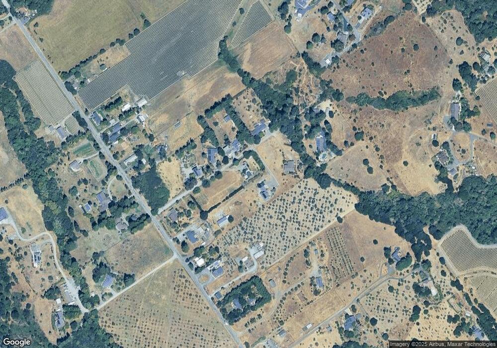
Map
Nearby Homes
- 459 Gold Ridge Rd
- 1120 W Sexton Rd
- 1025 Laurel Ave
- 940 Ferguson Rd
- 790 Ferguson Rd
- 750 Wagnon Rd
- 755 Watertrough Rd
- 10966 Barnett Valley Rd
- 1365 Grandview Rd
- 0 Bodega Hwy
- 11799 Barnett Valley Rd
- 8400 Blackney Rd
- 8148 Bodega Ave
- 8086 Bodega Ave
- 9935 Occidental Rd
- 200 Pleasant Hill Ave N
- 8023 Washington Ave
- 789 Pleasant Hill Rd
- 8091 Hill Dr
- 539 Norlee St
Your Personal Tour Guide
Ask me questions while you tour the home.