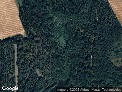
4412 Ga Highway 520 Weston, GA 31832
Estimated Value: $167,000
3
Beds
3
Baths
2,263
Sq Ft
$74/Sq Ft
Est. Value
About This Home
This home is located at 4412 Ga Highway 520, Weston, GA 31832 and is currently estimated at $167,000, approximately $73 per square foot. 4412 Ga Highway 520 is a home located in Webster County with nearby schools including Webster County Elementary/Middle School and Webster County High School.
Ownership History
Date
Name
Owned For
Owner Type
Purchase Details
Closed on
May 24, 2019
Sold by
Taylor Leslie M
Bought by
Double C Farms Llc
Current Estimated Value
Purchase Details
Closed on
Feb 3, 1994
Bought by
Taylor Leslie M
Create a Home Valuation Report for This Property
The Home Valuation Report is an in-depth analysis detailing your home's value as well as a comparison with similar homes in the area
Home Values in the Area
Average Home Value in this Area
Purchase History
| Date | Buyer | Sale Price | Title Company |
|---|---|---|---|
| Double C Farms Llc | $1,692,192 | -- | |
| Taylor Leslie M | -- | -- |
Source: Public Records
Mortgage History
| Date | Status | Borrower | Loan Amount |
|---|---|---|---|
| Previous Owner | Taylor Leslie M | $380,000 | |
| Previous Owner | Taylor Leslie M | $0 | |
| Previous Owner | Taylor Leslie M | $130,709 | |
| Previous Owner | Taylor Leslie M | $50,472 |
Source: Public Records
Tax History Compared to Growth
Tax History
| Year | Tax Paid | Tax Assessment Tax Assessment Total Assessment is a certain percentage of the fair market value that is determined by local assessors to be the total taxable value of land and additions on the property. | Land | Improvement |
|---|---|---|---|---|
| 2024 | $9,766 | $534,326 | $467,320 | $67,006 |
| 2023 | $7,115 | $534,320 | $467,360 | $66,960 |
| 2022 | $13,928 | $534,320 | $467,360 | $66,960 |
| 2021 | $6,241 | $512,256 | $467,360 | $44,896 |
| 2020 | $6,099 | $512,256 | $467,360 | $44,896 |
| 2019 | $5,907 | $512,256 | $467,360 | $44,896 |
| 2018 | $5,772 | $512,256 | $467,360 | $44,896 |
| 2017 | $5,640 | $512,256 | $467,360 | $44,896 |
| 2016 | $5,591 | $512,256 | $467,360 | $44,896 |
| 2015 | -- | $512,256 | $467,360 | $44,896 |
| 2014 | -- | $512,256 | $467,360 | $44,896 |
| 2013 | -- | $512,256 | $467,360 | $44,896 |
Source: Public Records
Map
Nearby Homes
- 2055 Payne Pond Rd
- 115 Deer Camp Rd
- 540 Veneys Mill Pond Rd
- 318 Church St
- 109 Main St
- 161 College St
- 6414 Hamilton St
- 4283 W Centerpoint Rd
- 0 Rd Unit 11290139
- 133 Winter Dr
- 4015 Warner Rd
- 4667 Warner Rd
- 3270 Warner Rd
- 621 Alston St
- 000 Broad St
- 0 Broad St
- 0 Carter Fishpond Rd
- 749 Recreation Camp Rd
- 3024 Jones Mill Rd
- 0 Peach Orchard Rd
