4418 Wiebusch Dr Red Wing, MN 55066
Estimated Value: $315,272 - $355,000
4
Beds
2
Baths
1,242
Sq Ft
$269/Sq Ft
Est. Value
About This Home
This home is located at 4418 Wiebusch Dr, Red Wing, MN 55066 and is currently estimated at $334,318, approximately $269 per square foot. 4418 Wiebusch Dr is a home located in Goodhue County with nearby schools including Burnside Elementary School, Sunnyside Elementary School, and Twin Bluff Middle School.
Ownership History
Date
Name
Owned For
Owner Type
Purchase Details
Closed on
Aug 26, 1998
Sold by
Lawrence Edward L and Lawrence Catherine A
Bought by
Danielson Michael D and Danielson Tris A
Current Estimated Value
Purchase Details
Closed on
Jan 2, 1997
Sold by
Lawrence Edward L and Lawrence Catherine A
Bought by
Danielson Michael D and Lichtblau Tris Angell
Create a Home Valuation Report for This Property
The Home Valuation Report is an in-depth analysis detailing your home's value as well as a comparison with similar homes in the area
Home Values in the Area
Average Home Value in this Area
Purchase History
| Date | Buyer | Sale Price | Title Company |
|---|---|---|---|
| Danielson Michael D | $106,000 | -- | |
| Danielson Michael D | $106,000 | -- |
Source: Public Records
Mortgage History
| Date | Status | Borrower | Loan Amount |
|---|---|---|---|
| Closed | Danielson Michael D | -- |
Source: Public Records
Tax History Compared to Growth
Tax History
| Year | Tax Paid | Tax Assessment Tax Assessment Total Assessment is a certain percentage of the fair market value that is determined by local assessors to be the total taxable value of land and additions on the property. | Land | Improvement |
|---|---|---|---|---|
| 2025 | $4,730 | $291,700 | $49,000 | $242,700 |
| 2024 | -- | $286,800 | $49,000 | $237,800 |
| 2023 | $4,430 | $271,200 | $49,000 | $222,200 |
| 2022 | $4,182 | $269,500 | $49,000 | $220,500 |
| 2021 | $3,902 | $230,700 | $49,000 | $181,700 |
| 2020 | $3,868 | $218,700 | $49,000 | $169,700 |
| 2019 | $3,840 | $202,600 | $49,000 | $153,600 |
| 2018 | $3,228 | $203,500 | $47,300 | $156,200 |
| 2017 | $3,166 | $178,600 | $47,300 | $131,300 |
| 2016 | $2,942 | $177,400 | $47,300 | $130,100 |
| 2015 | $2,838 | $172,700 | $47,300 | $125,400 |
| 2014 | -- | $165,700 | $47,300 | $118,400 |
Source: Public Records
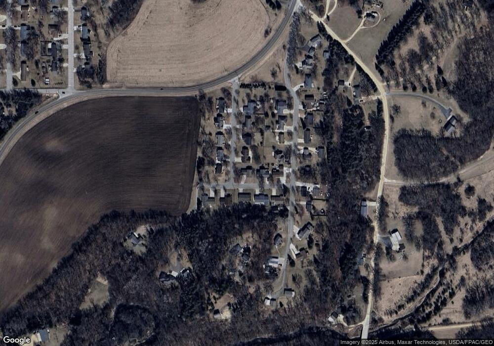
Map
Nearby Homes
- 1056 Birch Ave
- 912 Aurora Cir
- 936 Aurora Cir
- 853 Aurora Cir
- 980 Aurora Cir
- 4739 Big Sky Ct
- 808 Aurora Cir
- 921 Snowbird Dr
- 914 Snowbird Dr
- 4786 Mount Hood Ln
- 910 Snowbird Dr
- 906 Snowbird Dr
- 135 Kingswood Dr
- 4958 Chalet Ct
- 4990 Chalet Ct
- 4994 Chalet Ct
- 4986 Chalet Ct
- 4976 Chalet Ct
- TBD Mill Rd
- 232 Fern Ave
- 1137 Nelson Ave
- 1148 Nelson Ave
- 4425 Wiebusch Dr
- 1138 Nelson Ave
- 1127 Nelson Ave
- 4415 Wiebusch Dr
- 4404 Wiebusch Dr
- 4435 Wiebusch Dr
- 1136 Reding Ave
- 1128 Nelson Ave
- 4445 Wiebusch Dr
- 4405 Wiebusch Dr
- 1128 Reding Ave
- 1117 Nelson Ave
- 1118 Nelson Ave
- 1118 Reding Ave
- 1107 Nelson Ave
- 1145 Reding Ave
- 1155 Reding Ave
- 1135 Reding Ave