Estimated Value: $6,380,000 - $10,443,046
4
Beds
4
Baths
5,435
Sq Ft
$1,548/Sq Ft
Est. Value
About This Home
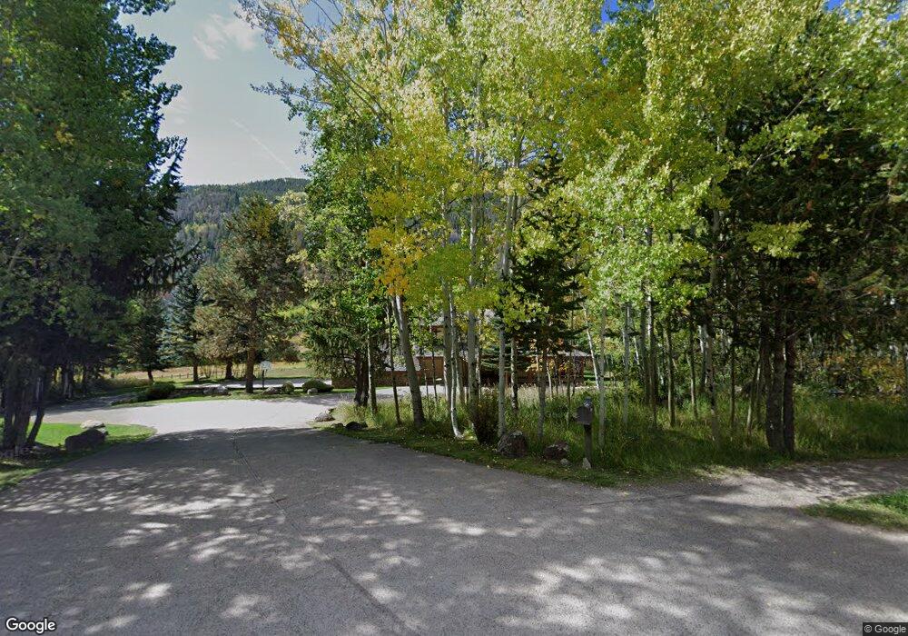
This home is located at 44190 Highway 82, Aspen, CO 81611 and is currently estimated at $8,411,523, approximately $1,547 per square foot. 44190 Highway 82 is a home located in Pitkin County with nearby schools including Aspen Elementary School, Aspen Middle School, and Aspen High School.
Ownership History
Date
Name
Owned For
Owner Type
Purchase Details
Closed on
Jul 30, 2014
Sold by
Stouffer Diane and Stouffer Marty
Bought by
Elk Treat Llc
Current Estimated Value
Purchase Details
Closed on
Dec 7, 2006
Sold by
Stouffer Diane
Bought by
Stouffer Diane and Stouffer Marty
Home Financials for this Owner
Home Financials are based on the most recent Mortgage that was taken out on this home.
Original Mortgage
$1,000,000
Interest Rate
6.3%
Mortgage Type
Stand Alone Refi Refinance Of Original Loan
Purchase Details
Closed on
Apr 2, 2001
Sold by
Stouffer Marty and Stouffer Diane
Bought by
Stouffer Diane
Create a Home Valuation Report for This Property
The Home Valuation Report is an in-depth analysis detailing your home's value as well as a comparison with similar homes in the area
Home Values in the Area
Average Home Value in this Area
Purchase History
| Date | Buyer | Sale Price | Title Company |
|---|---|---|---|
| Elk Treat Llc | $7,800,000 | None Available | |
| Stouffer Diane | -- | Land Title Guarantee Company | |
| Stouffer Diane | -- | Pitkin County Title Inc |
Source: Public Records
Mortgage History
| Date | Status | Borrower | Loan Amount |
|---|---|---|---|
| Previous Owner | Stouffer Diane | $1,000,000 |
Source: Public Records
Tax History Compared to Growth
Tax History
| Year | Tax Paid | Tax Assessment Tax Assessment Total Assessment is a certain percentage of the fair market value that is determined by local assessors to be the total taxable value of land and additions on the property. | Land | Improvement |
|---|---|---|---|---|
| 2024 | $21,751 | $748,940 | $420,040 | $328,900 |
| 2023 | $21,751 | $758,910 | $425,630 | $333,280 |
| 2022 | $21,522 | $672,110 | $396,150 | $275,960 |
| 2021 | $21,466 | $691,450 | $407,550 | $283,900 |
| 2020 | $19,524 | $626,980 | $386,100 | $240,880 |
| 2019 | $19,524 | $626,980 | $386,100 | $240,880 |
| 2018 | $18,550 | $631,370 | $388,800 | $242,570 |
| 2017 | $16,128 | $595,140 | $379,800 | $215,340 |
| 2016 | $16,924 | $612,390 | $419,890 | $192,500 |
| 2015 | $16,820 | $612,390 | $419,890 | $192,500 |
| 2014 | $17,648 | $635,210 | $485,560 | $149,650 |
Source: Public Records
Map
Nearby Homes
- 44481 Highway 82
- 100 Difficult Ln
- 41 Popcorn Ln
- 161 Stillwater Ln
- 184 Mountain Laurel Dr
- 42703 Hwy 82 Unit B
- 602 Mountain Laurel Dr
- 663 Mountain Laurel Dr
- 552 Mountain Laurel Dr
- 1271 S Ute Ave
- 1345 Mayflower Ct
- 10 Ute Place
- 100 Park Ave
- 1011 Ute Ave
- 901 S Ute Ave
- 610 S West End St Unit D304
- 610 S West End St Unit D 206
- 610 S West End St Unit A304
- 71 & 73 Smuggler Grove Rd
- 63 Smuggler Grove
- 44255 Highway 82
- 44255 E Highway 82
- 44255 Highway 82
- 44155 Highway 82
- 44155 Highway 82
- 44155 Highway 82
- 42701 Hwy 82 Unit A
- 50 Warren Creek Ln
- 44142 Highway 82
- 44125 Highway 82
- 44481 Hwy 82
- 44481 Colorado 82
- 43991 Highway 82
- 43991 Hwy 82
- 44010 Highway 82
- 44530 Highway 82
- 43995 Highway 82
- 43995 Hwy 82
- 230 Mcfarland Ln
- 44681 Highway 82