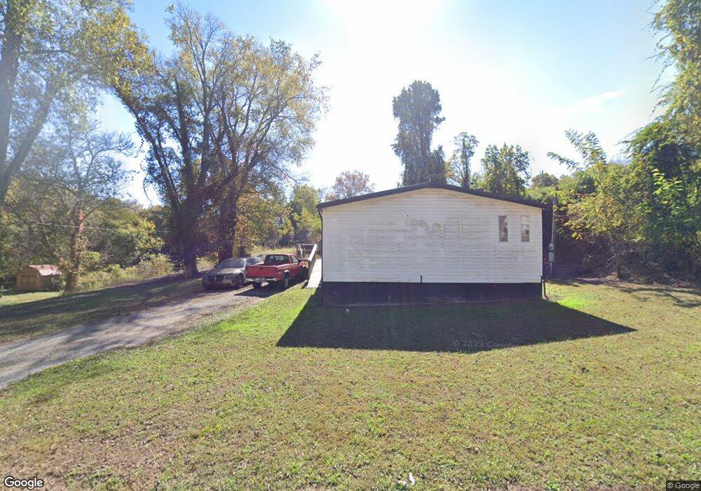
442 W Broad St Clinton, TN 37716
Estimated Value: $174,000 - $257,829
--
Bed
1
Bath
1,152
Sq Ft
$192/Sq Ft
Est. Value
About This Home
This home is located at 442 W Broad St, Clinton, TN 37716 and is currently estimated at $221,457, approximately $192 per square foot. 442 W Broad St is a home located in Anderson County with nearby schools including Clinton Elementary School.
Ownership History
Date
Name
Owned For
Owner Type
Purchase Details
Closed on
Jul 15, 2025
Sold by
Thrasher Thyshad K
Bought by
Thrasher Thyshad K and Mathes Aliana A
Current Estimated Value
Home Financials for this Owner
Home Financials are based on the most recent Mortgage that was taken out on this home.
Original Mortgage
$263,023
Outstanding Balance
$262,578
Interest Rate
6.85%
Mortgage Type
Construction
Estimated Equity
-$41,121
Purchase Details
Closed on
Jan 31, 2025
Sold by
Dye Laura and Willis Laura A
Bought by
Thrasher Thyshad K
Purchase Details
Closed on
Nov 2, 1995
Bought by
Willis Laura
Purchase Details
Closed on
Jan 27, 1995
Create a Home Valuation Report for This Property
The Home Valuation Report is an in-depth analysis detailing your home's value as well as a comparison with similar homes in the area
Home Values in the Area
Average Home Value in this Area
Purchase History
| Date | Buyer | Sale Price | Title Company |
|---|---|---|---|
| Thrasher Thyshad K | -- | Title Insurance Company Of Cha | |
| Thrasher Thyshad K | -- | Title Insurance Company Of Cha | |
| Thrasher Thyshad K | -- | Melrose Title Company Llc | |
| Thrasher Thyshad K | -- | Melrose Title Company Llc | |
| Willis Laura | $64,487 | -- | |
| -- | $4,000 | -- |
Source: Public Records
Mortgage History
| Date | Status | Borrower | Loan Amount |
|---|---|---|---|
| Open | Thrasher Thyshad K | $263,023 | |
| Closed | Thrasher Thyshad K | $263,023 |
Source: Public Records
Tax History Compared to Growth
Tax History
| Year | Tax Paid | Tax Assessment Tax Assessment Total Assessment is a certain percentage of the fair market value that is determined by local assessors to be the total taxable value of land and additions on the property. | Land | Improvement |
|---|---|---|---|---|
| 2024 | $146 | $16,875 | $3,375 | $13,500 |
| 2023 | $439 | $16,875 | $0 | $0 |
| 2022 | $800 | $23,075 | $3,375 | $19,700 |
| 2021 | $800 | $23,075 | $3,375 | $19,700 |
| 2020 | $669 | $23,075 | $3,375 | $19,700 |
| 2019 | $687 | $18,075 | $2,475 | $15,600 |
| 2018 | $669 | $18,075 | $2,475 | $15,600 |
| 2017 | $669 | $18,075 | $2,475 | $15,600 |
| 2016 | $669 | $18,075 | $2,475 | $15,600 |
| 2015 | -- | $18,075 | $2,475 | $15,600 |
| 2014 | -- | $18,075 | $2,475 | $15,600 |
| 2013 | -- | $20,300 | $0 | $0 |
Source: Public Records
Map
Nearby Homes
- 445 W Broad St
- 502 Crestwood Dr
- 415 Hollingsworth Cir
- 106 Nancy Dr
- 229 Edgewood Ave
- 320 Maple St
- 420424 Sulphur Springs Rd
- 420 Sulphur Springs Rd
- 103 Highland Ave
- 403 Hickory St
- 716 Skyline Dr
- 400 N Main St
- 181 Sunset Rd
- 713 Skyline Dr
- 300 Riverside Dr
- 709 Sharp St
- 711 Sharp St
- 711 Byrd St
- 717 Shaw St
- 716 Byrd St
- 440 W Broad St
- 439 Jarnigan St
- 429 Jarnigan St
- 437 Jarnigan St
- 408 Jarnigan St
- 444 Jarnigan St
- 0 Jarnigan St
- 451 W Broad St
- 435 Jarnigan St
- 427 Jarnigan St
- 439 W Broad St
- 442 Jarnigan St
- 433 Jarnigan St
- 433 Jarnigan St
- 107 Cummings St
- 438 Jarnigan St
- 421 Jarnigan St
- 436 Jarnigan St
- 501 W Broad St
- 415 Jarnigan St