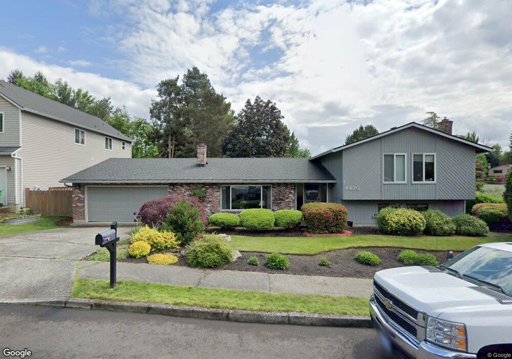
4420 SE 20th St Gresham, OR 97080
Kelly Creek NeighborhoodEstimated Value: $496,000 - $530,000
4
Beds
3
Baths
2,169
Sq Ft
$238/Sq Ft
Est. Value
About This Home
This home is located at 4420 SE 20th St, Gresham, OR 97080 and is currently estimated at $516,297, approximately $238 per square foot. 4420 SE 20th St is a home located in Multnomah County with nearby schools including Kelly Creek Elementary School, Gordon Russell Middle School, and Sam Barlow High School.
Ownership History
Date
Name
Owned For
Owner Type
Purchase Details
Closed on
Jul 14, 1999
Sold by
Sharkey Joseph A
Bought by
Pelkey Scott A and Pelkey Julie A
Current Estimated Value
Home Financials for this Owner
Home Financials are based on the most recent Mortgage that was taken out on this home.
Original Mortgage
$138,000
Outstanding Balance
$37,446
Interest Rate
7.4%
Mortgage Type
Purchase Money Mortgage
Estimated Equity
$478,851
Create a Home Valuation Report for This Property
The Home Valuation Report is an in-depth analysis detailing your home's value as well as a comparison with similar homes in the area
Home Values in the Area
Average Home Value in this Area
Purchase History
| Date | Buyer | Sale Price | Title Company |
|---|---|---|---|
| Pelkey Scott A | $172,500 | Oregon Title Insurance Co |
Source: Public Records
Mortgage History
| Date | Status | Borrower | Loan Amount |
|---|---|---|---|
| Open | Pelkey Scott A | $138,000 | |
| Closed | Pelkey Scott A | $14,500 |
Source: Public Records
Tax History
| Year | Tax Paid | Tax Assessment Tax Assessment Total Assessment is a certain percentage of the fair market value that is determined by local assessors to be the total taxable value of land and additions on the property. | Land | Improvement |
|---|---|---|---|---|
| 2025 | $6,035 | $296,590 | -- | -- |
| 2024 | $5,778 | $287,960 | -- | -- |
| 2023 | $5,264 | $279,580 | $0 | $0 |
| 2022 | $5,117 | $271,440 | $0 | $0 |
| 2021 | $4,988 | $263,540 | $0 | $0 |
| 2020 | $4,693 | $255,870 | $0 | $0 |
| 2019 | $4,570 | $248,420 | $0 | $0 |
| 2018 | $4,358 | $241,190 | $0 | $0 |
| 2017 | $4,181 | $234,170 | $0 | $0 |
| 2016 | $3,686 | $227,350 | $0 | $0 |
Source: Public Records
Map
Nearby Homes
- 4671 SE 21st Terrace
- 4647 SE 20th Terrace
- 2245 SE Wendy Dr
- 2600 SE Orient Dr
- 1536 SE Condor Ave
- 3780 SE 21st Dr
- 2728 SE Acacia Place
- 2037 SE Centurion Way
- 3788 SE 25th St
- 2813 SE Baker Ave
- 1230 SE Barnes Rd
- 4177 SE 12th St
- 2314 SE Keller Ave
- 3689 SE 14th St
- 4355 SE 10th Dr
- 2073 SE Kane Ave
- 2404 SE Jasmine Way
- 0 SE Powell Valley Rd Unit 257585008
- 800 SE Greenway Dr
- 2624 SE Hale Way
- 4460 SE 20th St
- 2050 SE Anderson Ave
- 4478 SE 20th St
- 4421 SE 20th St
- 2080 SE Anderson Ave
- 4459 SE 20th St
- 4477 SE 20th St
- 2021 SE Anderson Ave
- 1950 SE Anderson Ave
- 1981 SE Anderson Ave
- 2121 SE Anderson Ave
- 1933 SE Williams Dr
- 2120 SE Anderson Ave
- 4361 SE 22nd Dr
- 1915 SE Williams Dr
- 1951 SE Anderson Ave
- 4454 SE Salquist Rd
- 4271 SE 22nd Dr
- 4381 SE 22nd Dr
- 1920 SE Anderson Ave
Your Personal Tour Guide
Ask me questions while you tour the home.