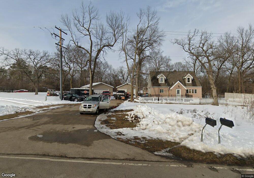
4424 Highway 61 W Red Wing, MN 55066
Estimated Value: $256,000 - $300,900
3
Beds
1
Bath
2,160
Sq Ft
$128/Sq Ft
Est. Value
About This Home
This home is located at 4424 Highway 61 W, Red Wing, MN 55066 and is currently estimated at $277,225, approximately $128 per square foot. 4424 Highway 61 W is a home located in Goodhue County with nearby schools including Burnside Elementary School, Sunnyside Elementary School, and Twin Bluff Middle School.
Ownership History
Date
Name
Owned For
Owner Type
Purchase Details
Closed on
Apr 25, 2018
Sold by
Fleming Shane G
Bought by
Aslakson John S
Current Estimated Value
Purchase Details
Closed on
Apr 14, 2011
Sold by
Federal Home Loan Mortgage Corporation
Bought by
Fleming Shane B
Purchase Details
Closed on
Feb 21, 2003
Sold by
Williams Judy L
Bought by
Lamb Benjamin R
Purchase Details
Closed on
Apr 20, 2001
Sold by
Furlong Rodney and Furlong Kari
Bought by
Williams Judy L and Lamb Benjamin R
Purchase Details
Closed on
May 28, 1998
Sold by
Estate Of Helen L Hanson and Hanson Rickie L
Bought by
Furlong Rodney and Furlong Kari
Create a Home Valuation Report for This Property
The Home Valuation Report is an in-depth analysis detailing your home's value as well as a comparison with similar homes in the area
Home Values in the Area
Average Home Value in this Area
Purchase History
| Date | Buyer | Sale Price | Title Company |
|---|---|---|---|
| Aslakson John S | $195,500 | -- | |
| Fleming Shane B | $87,000 | -- | |
| Lamb Benjamin R | $10,000 | -- | |
| Williams Judy L | $130,000 | -- | |
| Furlong Rodney | $77,000 | -- |
Source: Public Records
Tax History Compared to Growth
Tax History
| Year | Tax Paid | Tax Assessment Tax Assessment Total Assessment is a certain percentage of the fair market value that is determined by local assessors to be the total taxable value of land and additions on the property. | Land | Improvement |
|---|---|---|---|---|
| 2025 | -- | $207,900 | $60,600 | $147,300 |
| 2024 | -- | $204,600 | $60,600 | $144,000 |
| 2023 | $0 | $193,000 | $60,600 | $132,400 |
| 2022 | $0 | $193,100 | $60,600 | $132,500 |
| 2021 | $0 | $162,600 | $60,600 | $102,000 |
| 2020 | $1,682 | $162,500 | $60,600 | $101,900 |
| 2019 | $0 | $154,000 | $60,600 | $93,400 |
| 2018 | $1,682 | $150,600 | $60,600 | $90,000 |
| 2017 | $1,674 | $136,200 | $60,600 | $75,600 |
| 2016 | $1,612 | $136,800 | $60,600 | $76,200 |
| 2015 | $1,568 | $134,100 | $60,600 | $73,500 |
| 2014 | -- | $125,900 | $60,600 | $65,300 |
Source: Public Records
Map
Nearby Homes
- 232 Fern Ave
- 132 Motel Ave
- 240 Motel Ave
- 4336 Lookout Ln
- 237 Motel Ave
- 135 Kingswood Dr
- 980 Aurora Cir
- 168 Johnson Ave
- 808 Aurora Cir
- 853 Aurora Cir
- 936 Aurora Cir
- 912 Aurora Cir
- 4739 Big Sky Ct
- 4786 Mount Hood Ln
- 906 Snowbird Dr
- 910 Snowbird Dr
- 921 Snowbird Dr
- 914 Snowbird Dr
- 4958 Chalet Ct
- 4976 Chalet Ct
- 4424 U S 61
- 990 Oakridge Dr
- 4452 Highway 61 W
- TBD Hwy 61
- 4412 Highway 61 W
- 1000 Oakridge Dr
- 4472 Highway 61 W
- 4449 Cady St
- 4439 Cady St
- 4370 Cady St
- 4374 Highway 61 W
- 4425 Cady St
- 219 Juniper Ave
- 4340 Cady St
- 229 Juniper Ave
- 4526 Highway 61 W
- 239 Juniper Ave
- 241 Camp Pearson Dr
- 4510 Highway 61 W
- 4349 Cady St