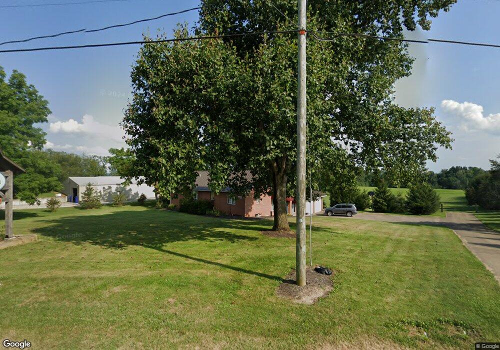
4426 Columbus Rd Wooster, OH 44691
Estimated Value: $402,000 - $532,000
3
Beds
2
Baths
1,848
Sq Ft
$252/Sq Ft
Est. Value
About This Home
This home is located at 4426 Columbus Rd, Wooster, OH 44691 and is currently estimated at $465,073, approximately $251 per square foot. 4426 Columbus Rd is a home located in Wayne County with nearby schools including Triway High School and Country Corner.
Ownership History
Date
Name
Owned For
Owner Type
Purchase Details
Closed on
Jul 21, 2022
Sold by
Urian Brett A and Urian Marcia D
Bought by
Blue Barn Farm Llc
Current Estimated Value
Purchase Details
Closed on
Nov 26, 2008
Sold by
Ashcraft Wendell R
Bought by
Urian Brett A and Urian Marcia D
Purchase Details
Closed on
Oct 1, 1999
Sold by
Knox Bernard D
Bought by
Ashcraft Wendell R
Home Financials for this Owner
Home Financials are based on the most recent Mortgage that was taken out on this home.
Original Mortgage
$250,000
Interest Rate
7.93%
Mortgage Type
New Conventional
Purchase Details
Closed on
Jan 1, 1987
Bought by
Ashcraft Wendell R
Create a Home Valuation Report for This Property
The Home Valuation Report is an in-depth analysis detailing your home's value as well as a comparison with similar homes in the area
Home Values in the Area
Average Home Value in this Area
Purchase History
| Date | Buyer | Sale Price | Title Company |
|---|---|---|---|
| Blue Barn Farm Llc | -- | Pidcock William S | |
| Blue Barn Farm Llc | -- | Pidcock William S | |
| Urian Brett A | $100,000 | Alpha Land Title Agency Inc | |
| Ashcraft Wendell R | $300,000 | -- | |
| Ashcraft Wendell R | -- | -- |
Source: Public Records
Mortgage History
| Date | Status | Borrower | Loan Amount |
|---|---|---|---|
| Previous Owner | Ashcraft Wendell R | $250,000 |
Source: Public Records
Tax History Compared to Growth
Tax History
| Year | Tax Paid | Tax Assessment Tax Assessment Total Assessment is a certain percentage of the fair market value that is determined by local assessors to be the total taxable value of land and additions on the property. | Land | Improvement |
|---|---|---|---|---|
| 2024 | $5,432 | $154,660 | $21,550 | $133,110 |
| 2023 | $5,432 | $154,660 | $21,550 | $133,110 |
| 2022 | $4,014 | $110,460 | $15,390 | $95,070 |
| 2021 | $4,022 | $110,460 | $15,390 | $95,070 |
| 2020 | $4,071 | $110,460 | $15,390 | $95,070 |
| 2019 | $3,105 | $80,760 | $12,300 | $68,460 |
| 2018 | $3,162 | $80,760 | $12,300 | $68,460 |
| 2017 | $3,151 | $80,760 | $12,300 | $68,460 |
| 2016 | $1,632 | $42,350 | $12,300 | $30,050 |
| 2015 | $1,522 | $42,350 | $12,300 | $30,050 |
| 2014 | $1,774 | $46,080 | $16,030 | $30,050 |
| 2013 | $1,764 | $43,740 | $15,830 | $27,910 |
Source: Public Records
Map
Nearby Homes
- 5001 S Jefferson Rd
- 3532 Triway Ln
- 2560 Rutt Ct
- 3979 Batdorf Rd
- 2430 S Columbus Rd
- 3940 Batdorf Rd
- 4624 S Elyria Rd
- 110 S Elyria Rd
- 4220 S Elyria Rd
- 0 Batdorf Rd
- 1131 Curtwood Dr
- 2844 Morning Hill Dr
- 0 Blachleyville Rd
- 1970 Batdorf Rd
- 0 Heyl Rd
- 1740 Barnes Dr
- 3333 Force Rd
- 770 N Market St
- 2445 S Elyria Rd
- 270 Church St
- 4460 Columbus Rd
- 4407 Columbus Rd
- 4482 Columbus Rd
- 4320 Columbus Rd
- 4548 Columbus Rd
- 4637 Columbus Rd
- 4161 Columbus Rd
- 4699 Columbus Rd
- 4120 Columbus Rd
- 4494 S Jefferson Rd
- 4721 Columbus Rd
- 4546 S Jefferson Rd
- 4350 S Jefferson Rd
- 4590 S Jefferson Rd
- 4636 S Jefferson Rd
- 4725 Columbus Rd
- 4236 S Jefferson Rd
- 4058 Columbus Rd
- 4130 S Jefferson Rd
- 4208 S Jefferson Rd