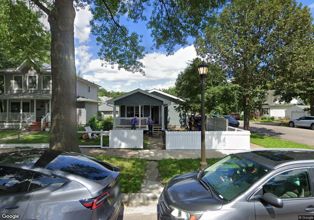
443 Charles Ave Saint Paul, MN 55103
Frogtown NeighborhoodEstimated Value: $241,000 - $279,000
4
Beds
2
Baths
484
Sq Ft
$542/Sq Ft
Est. Value
About This Home
This home is located at 443 Charles Ave, Saint Paul, MN 55103 and is currently estimated at $262,461, approximately $542 per square foot. 443 Charles Ave is a home located in Ramsey County with nearby schools including Maxfield Magnet Elementary School, Hidden River Middle School, and Central Senior High School.
Ownership History
Date
Name
Owned For
Owner Type
Purchase Details
Closed on
May 13, 2025
Sold by
Twin Cities Habitat For Humanity Inc
Bought by
Gums Latisha
Current Estimated Value
Home Financials for this Owner
Home Financials are based on the most recent Mortgage that was taken out on this home.
Original Mortgage
$43,700
Interest Rate
6.62%
Purchase Details
Closed on
Sep 14, 2023
Sold by
Hassan Fatma and Elmi Ali
Bought by
Twin Cities Habitat For Humanity Inc
Purchase Details
Closed on
Sep 28, 2001
Sold by
Twin Cities Habitat For Humanity Inc
Bought by
Turner Yolanda
Create a Home Valuation Report for This Property
The Home Valuation Report is an in-depth analysis detailing your home's value as well as a comparison with similar homes in the area
Home Values in the Area
Average Home Value in this Area
Purchase History
| Date | Buyer | Sale Price | Title Company |
|---|---|---|---|
| Gums Latisha | $255,000 | Land Title | |
| Twin Cities Habitat For Humanity Inc | $242,000 | -- | |
| Turner Yolanda | $125,000 | -- |
Source: Public Records
Mortgage History
| Date | Status | Borrower | Loan Amount |
|---|---|---|---|
| Closed | Gums Latisha | $43,700 | |
| Open | Gums Latisha | $154,300 |
Source: Public Records
Tax History
| Year | Tax Paid | Tax Assessment Tax Assessment Total Assessment is a certain percentage of the fair market value that is determined by local assessors to be the total taxable value of land and additions on the property. | Land | Improvement |
|---|---|---|---|---|
| 2025 | $3,612 | $277,000 | $25,000 | $252,000 |
| 2023 | $3,612 | $235,400 | $20,000 | $215,400 |
| 2022 | $3,702 | $225,500 | $20,000 | $205,500 |
| 2021 | $2,568 | $196,400 | $20,000 | $176,400 |
| 2020 | $3,124 | $179,800 | $11,200 | $168,600 |
| 2019 | $2,040 | $176,300 | $11,200 | $165,100 |
| 2018 | $2,028 | $138,200 | $11,200 | $127,000 |
| 2017 | $1,680 | $133,500 | $11,200 | $122,300 |
| 2016 | $1,712 | $0 | $0 | $0 |
| 2015 | $2,016 | $124,500 | $11,200 | $113,300 |
| 2014 | $1,656 | $0 | $0 | $0 |
Source: Public Records
Map
Nearby Homes
- 458 Lafond Ave
- 511 Edmund Ave W
- 395 Thomas Ave
- 351 Sherburne Ave
- 401 Lafond Ave
- 597 Virginia St
- 424 Aurora Ave
- 585 Sherburne Ave
- 578 Sherburne Ave
- 446 Virginia St
- 547 Blair Ave
- 366 Fuller Ave
- 610 Charles Ave
- 578 Elfelt St
- 714 Western Ave N
- 697 Virginia St
- 326 Fuller Ave
- 324 Van Buren Ave
- 320 Fuller Ave
- 644 Dale St N
- 447 Charles Ave
- 451 Charles Ave
- 554 Arundel St
- 557 Arundel St
- 455 Charles Ave
- 558 Arundel St
- 435 Charles Ave
- 457 Charles Ave
- 442 Charles Ave
- 450 Edmund Ave
- 446 Charles Ave
- 452 Edmund Ave
- 431 Charles Ave
- 436 Edmund Ave
- 569 Arundel St
- 444 Charles Ave
- 434 Edmund Ave
- 456 Edmund Ave
- 438 Charles Ave
- 430 Edmund Ave
Your Personal Tour Guide
Ask me questions while you tour the home.