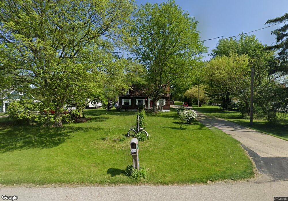
4436 W National Rd Springfield, OH 45504
Cedar Hills/Broadview NeighborhoodEstimated Value: $248,000 - $289,000
3
Beds
2
Baths
1,680
Sq Ft
$158/Sq Ft
Est. Value
About This Home
This home is located at 4436 W National Rd, Springfield, OH 45504 and is currently estimated at $265,413, approximately $157 per square foot. 4436 W National Rd is a home located in Clark County with nearby schools including Shawnee Middle School/High School, Springfield Christian School, and Maiden Lane Christian Educare.
Ownership History
Date
Name
Owned For
Owner Type
Purchase Details
Closed on
Apr 9, 2013
Sold by
Crews Harold T
Bought by
Beechler Debra J
Current Estimated Value
Home Financials for this Owner
Home Financials are based on the most recent Mortgage that was taken out on this home.
Original Mortgage
$115,714
Outstanding Balance
$81,641
Interest Rate
3.46%
Mortgage Type
New Conventional
Estimated Equity
$183,772
Purchase Details
Closed on
Apr 10, 2008
Sold by
Estate Of F Jane Crews
Bought by
Crews Harold T
Create a Home Valuation Report for This Property
The Home Valuation Report is an in-depth analysis detailing your home's value as well as a comparison with similar homes in the area
Home Values in the Area
Average Home Value in this Area
Purchase History
| Date | Buyer | Sale Price | Title Company |
|---|---|---|---|
| Beechler Debra J | $113,400 | Eris Title Agency Inc | |
| Crews Harold T | -- | None Available |
Source: Public Records
Mortgage History
| Date | Status | Borrower | Loan Amount |
|---|---|---|---|
| Open | Beechler Debra J | $115,714 |
Source: Public Records
Tax History Compared to Growth
Tax History
| Year | Tax Paid | Tax Assessment Tax Assessment Total Assessment is a certain percentage of the fair market value that is determined by local assessors to be the total taxable value of land and additions on the property. | Land | Improvement |
|---|---|---|---|---|
| 2024 | $2,196 | $54,080 | $14,870 | $39,210 |
| 2023 | $2,196 | $54,080 | $14,870 | $39,210 |
| 2022 | $2,198 | $54,080 | $14,870 | $39,210 |
| 2021 | $1,812 | $42,190 | $11,530 | $30,660 |
| 2020 | $2,304 | $42,190 | $11,530 | $30,660 |
| 2019 | $2,340 | $42,190 | $11,530 | $30,660 |
| 2018 | $1,956 | $34,790 | $10,480 | $24,310 |
| 2017 | $2,005 | $34,794 | $10,479 | $24,315 |
| 2016 | $1,809 | $34,794 | $10,479 | $24,315 |
| 2015 | $1,823 | $33,891 | $10,479 | $23,412 |
| 2014 | $1,828 | $33,891 | $10,479 | $23,412 |
| 2013 | $1,179 | $33,891 | $10,479 | $23,412 |
Source: Public Records
Map
Nearby Homes
- 4461 New Carlisle Pike
- 245 Gordon Rd
- 224 E Downey Dr
- 5095 W National Rd
- 323 Saint Paul Ave
- 3721 W National Rd
- 5171 New Carlisle Pike
- 124 Old Mill Rd
- 4904 Alpha Rd
- 601 Hornwood Dr
- 570 Aberfelda Dr
- 201 Beech Dr
- 190 Oakridge Dr
- 3161 Dayton Springfield Rd
- 3161 Dayton Rd
- 1290 Red Oaks Cir
- 1616 Crest Dr
- 1810 Old Mill Rd
- 2805 Cottonwood Dr
- 5520 Old Lower Valley Park
- 0 Kingsgate Lot 18476
- 4450 W National Rd
- 4412 W National Rd
- 4474 W National Rd
- 4421 W National Rd
- 4365 W National Rd
- 4459 W National Rd
- 4490 W National Rd
- 4528 W National Rd
- 4483 W National Rd
- 4315 W National Rd
- 4503 W National Rd
- 4536 W National Rd
- 4529 W National Rd
- 4557 W National Rd
- 25 King Tree Ln
- 0 Kingsgate Rd Unit Lot18475 768008
- 00 Kingsgate Rd
- 0 Kingsgate Rd
- 0 Kingsgate Rd Unit 216035318