Estimated Value: $336,000 - $597,966
3
Beds
2
Baths
928
Sq Ft
$524/Sq Ft
Est. Value
About This Home
This home is located at 4437 Big Rock Rd, Tower, MN 55790 and is currently estimated at $485,992, approximately $523 per square foot. 4437 Big Rock Rd is a home located in St. Louis County with nearby schools including Tower-Soudan Elementary School.
Ownership History
Date
Name
Owned For
Owner Type
Purchase Details
Closed on
Nov 18, 2014
Sold by
Korpela Shirley
Bought by
Korpela Bontems Jill Renee and Bontems Jerry Leslie
Current Estimated Value
Purchase Details
Closed on
Oct 4, 2006
Sold by
Bontems Jill Renee Korpela and Bontems Jerry Leslie
Bought by
Korpela Bontems Jerry Leslie and Korpela Bontems Jill Renee
Purchase Details
Closed on
Jun 3, 2002
Sold by
Korpela Harold and Korpela Shirley
Bought by
Korpela Jill Renne and Korpela Steven Craig
Create a Home Valuation Report for This Property
The Home Valuation Report is an in-depth analysis detailing your home's value as well as a comparison with similar homes in the area
Home Values in the Area
Average Home Value in this Area
Purchase History
| Date | Buyer | Sale Price | Title Company |
|---|---|---|---|
| Korpela Bontems Jill Renee | -- | None Available | |
| Korpela Bontems Jerry Leslie | -- | None Available | |
| Korpela Bontems Jerry Leslie | -- | None Available | |
| Korpela Jill Renne | -- | -- |
Source: Public Records
Tax History Compared to Growth
Tax History
| Year | Tax Paid | Tax Assessment Tax Assessment Total Assessment is a certain percentage of the fair market value that is determined by local assessors to be the total taxable value of land and additions on the property. | Land | Improvement |
|---|---|---|---|---|
| 2024 | $3,338 | $469,900 | $233,800 | $236,100 |
| 2023 | $3,338 | $450,300 | $223,800 | $226,500 |
| 2022 | $3,408 | $441,900 | $215,400 | $226,500 |
| 2021 | $3,198 | $366,700 | $185,500 | $181,200 |
| 2020 | $2,928 | $343,400 | $185,500 | $157,900 |
| 2019 | $2,852 | $317,800 | $178,800 | $139,000 |
| 2018 | $2,742 | $316,800 | $177,800 | $139,000 |
| 2017 | $2,664 | $302,700 | $177,800 | $124,900 |
| 2016 | $2,724 | $302,700 | $177,800 | $124,900 |
| 2015 | $3,056 | $306,100 | $171,700 | $134,400 |
| 2014 | $3,056 | $306,100 | $171,700 | $134,400 |
Source: Public Records
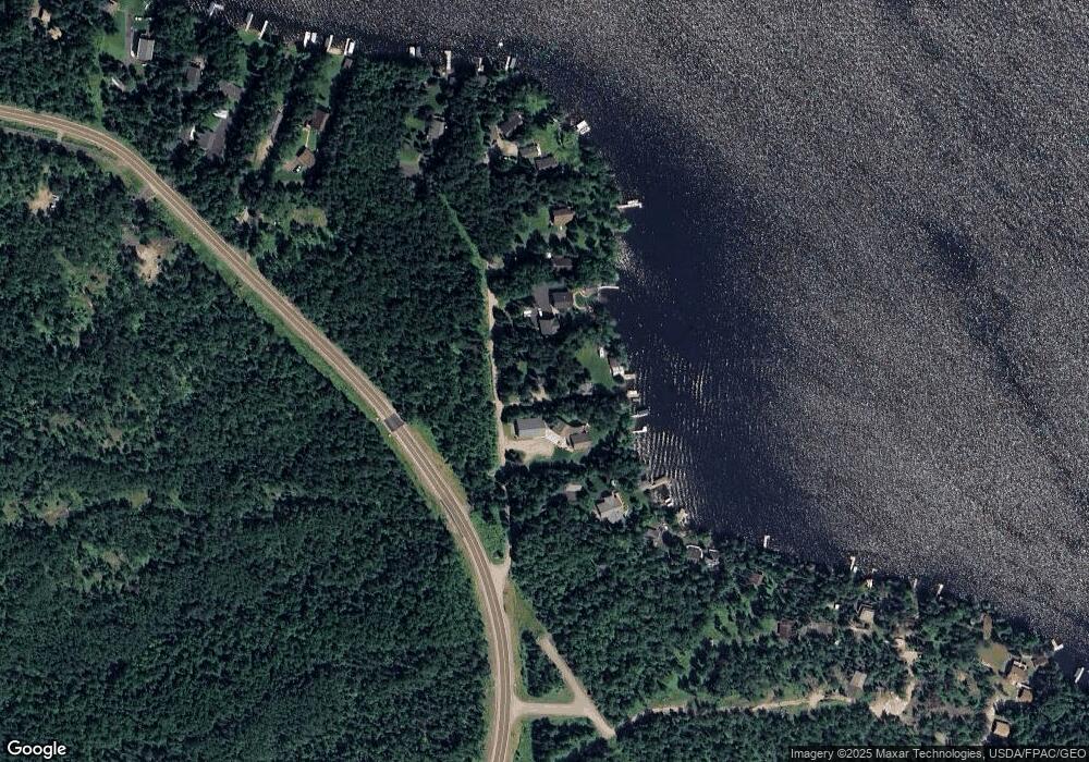
Map
Nearby Homes
- 95536 Pine Island
- 2438 Birch Point Rd
- 2236 Birch Point Rd
- 2236 Birch Point Rd Unit A
- 3638 Fectos Rd
- TBD (Lot C) Fectos Rd
- TBD (Lot B) Fectos Rd
- PARCEL D Fectos Rd
- 3609 Fectos Rd
- 2001 A&B Bayview Dr
- 2001 A&B Bayview Rd
- 3101 Old Highway 77
- 3739 Sundling Rd
- TBD (Lot E) County Highway 77
- 3779 Sundling Rd
- 1817 Everett Bay Rd
- 3382 Breezy Point Rd
- 3300 Breezy Point Rd
- 1880 Everett Rd S
- 4439 4439 Big Rock-Road-
- 4439 4439 Big Rock Rd
- 4439 Big Rock Rd
- 4439 Big Rock Rd
- 4433 Big Rock Rd
- 4441 Big Rock Rd
- 4441 Big Rock Rd
- 4443 Big Rock Rd
- 4444 Big Rock Rd
- 4411 Ledge Rd
- 4447 Moccasin Point Rd
- 4447 Moccasin Point Rd
- 4449 Moccasin Point Rd
- 4451 Moccasin Point Rd
- 3194 Moccasin Point Rd
- 4452 Moccasin Point Rd
- 95343 Moccasin Point Rd
- 4453 Moccasin Point Rd
- 000 Moccasin Point Rd
- 4455 Moccasin Point Rd