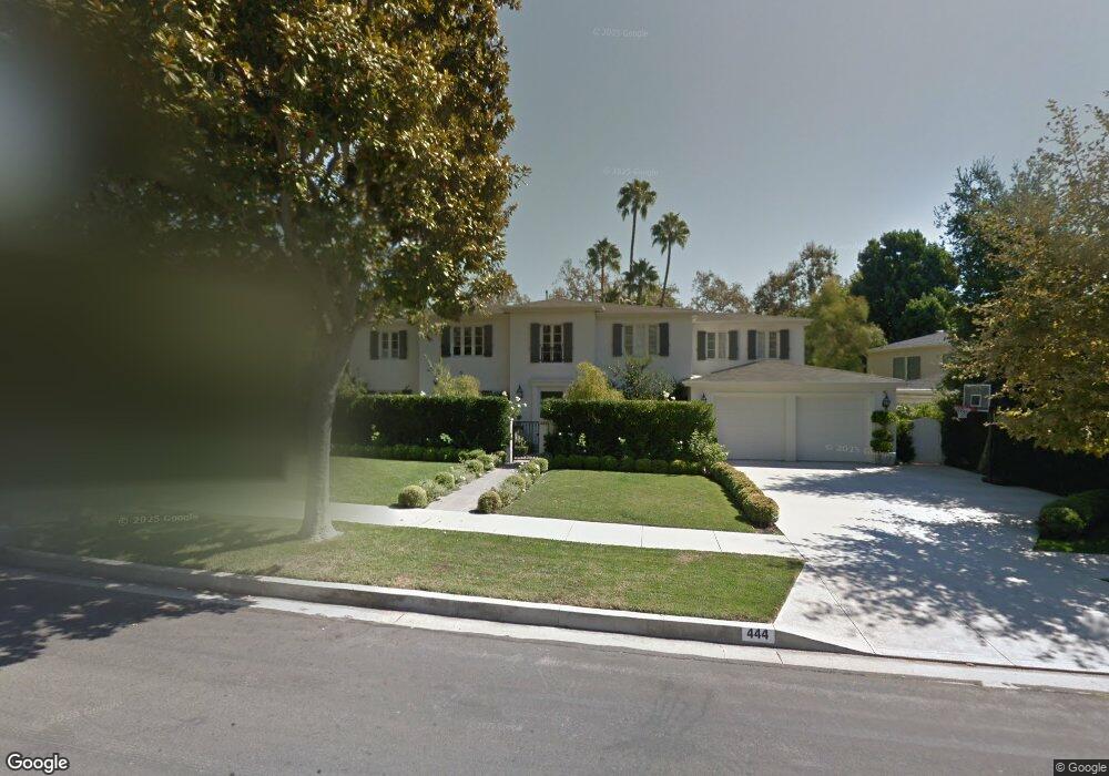
444 Comstock Ave Los Angeles, CA 90024
Westwood NeighborhoodEstimated Value: $7,118,000 - $10,470,397
5
Beds
6
Baths
6,090
Sq Ft
$1,401/Sq Ft
Est. Value
About This Home
This home is located at 444 Comstock Ave, Los Angeles, CA 90024 and is currently estimated at $8,529,849, approximately $1,400 per square foot. 444 Comstock Ave is a home located in Los Angeles County with nearby schools including Warner Avenue Elementary, Ralph Waldo Emerson Community Charter Middle School, and University High School Charter.
Ownership History
Date
Name
Owned For
Owner Type
Purchase Details
Closed on
Feb 23, 2017
Sold by
Geller David and Sherrod Danelle
Bought by
Geller David and Sherrod Danelle
Current Estimated Value
Purchase Details
Closed on
Oct 11, 2006
Sold by
Cogen Leo L and Cogen Pearl G
Bought by
Geller David T and Geller Danelle
Create a Home Valuation Report for This Property
The Home Valuation Report is an in-depth analysis detailing your home's value as well as a comparison with similar homes in the area
Home Values in the Area
Average Home Value in this Area
Purchase History
We collect this data history from publicly available records. To have your information removed, we recommend requesting removal directly through your county’s website.
| Date | Buyer | Sale Price | Title Company |
|---|---|---|---|
| Geller David | -- | None Available | |
| Geller David | -- | None Available | |
| Geller David T | $2,800,000 | Equity Title Co |
Source: Public Records
Tax History
| Year | Tax Paid | Tax Assessment Tax Assessment Total Assessment is a certain percentage of the fair market value that is determined by local assessors to be the total taxable value of land and additions on the property. | Land | Improvement |
|---|---|---|---|---|
| 2025 | $69,180 | $5,816,721 | $3,751,408 | $2,065,313 |
| 2024 | $69,180 | $5,702,668 | $3,677,851 | $2,024,817 |
| 2023 | $67,826 | $5,590,852 | $3,605,737 | $1,985,115 |
| 2022 | $64,651 | $5,481,229 | $3,535,037 | $1,946,192 |
| 2021 | $63,869 | $5,373,755 | $3,465,723 | $1,908,032 |
| 2019 | $61,941 | $5,214,369 | $3,362,929 | $1,851,440 |
| 2018 | $61,732 | $5,112,128 | $3,296,990 | $1,815,138 |
| 2016 | $59,145 | $4,913,620 | $3,168,965 | $1,744,655 |
| 2015 | $58,272 | $4,839,814 | $3,121,365 | $1,718,449 |
| 2014 | $58,424 | $4,745,009 | $3,060,222 | $1,684,787 |
Source: Public Records
Map
Nearby Homes
- 436 Loring Ave
- 444 Loring Ave
- 10428 Wyton Dr
- 365 Comstock Ave
- 453 Dalehurst Ave
- 501 Woodruff Ave
- 570 S Mapleton Dr
- 365 Norcroft Ave
- 547 Loring Ave
- 214 S Beverly Glen Blvd
- 107 Delfern Dr
- 10250 W Sunset Blvd
- 133 S Mapleton Dr
- 101 Bel Air Rd
- 740 Warner Ave
- 851 Devon Ave
- 10375 Wilshire Blvd Unit 2F
- 10375 Wilshire Blvd Unit 8F
- 760 Westholme Ave
- 112 N Beverly Glen Blvd
- 454 Comstock Ave
- 432 Comstock Ave
- 383 S Beverly Glen Blvd
- 464 Comstock Ave
- 393 S Beverly Glen Blvd
- 424 Comstock Ave
- 373 S Beverly Glen Blvd
- 445 Comstock Ave
- 401 S Beverly Glen Blvd
- 451 Comstock Ave
- 437 Comstock Ave
- 425 Comstock Ave
- 363 S Beverly Glen Blvd
- 476 Comstock Ave
- 459 Comstock Ave
- 416 Comstock Ave
- 415 S Beverly Glen Blvd
- 401 Comstock Ave
- 353 S Beverly Glen Blvd
- 467 Comstock Ave
Your Personal Tour Guide
Ask me questions while you tour the home.