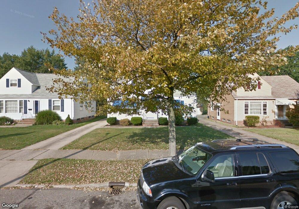
444 E 271st St Euclid, OH 44132
Estimated Value: $145,777 - $190,000
2
Beds
1
Bath
1,356
Sq Ft
$119/Sq Ft
Est. Value
About This Home
This home is located at 444 E 271st St, Euclid, OH 44132 and is currently estimated at $161,194, approximately $118 per square foot. 444 E 271st St is a home located in Cuyahoga County with nearby schools including Shoreview Elementary School, Euclid High School, and Ss. Robert & William Catholic School.
Ownership History
Date
Name
Owned For
Owner Type
Purchase Details
Closed on
Oct 9, 1998
Sold by
Schultz Barbara J and Walukas Barbara J
Bought by
Dickson Gloria B
Current Estimated Value
Home Financials for this Owner
Home Financials are based on the most recent Mortgage that was taken out on this home.
Original Mortgage
$94,306
Outstanding Balance
$20,772
Interest Rate
6.97%
Mortgage Type
FHA
Estimated Equity
$140,422
Purchase Details
Closed on
Dec 2, 1987
Sold by
Calvin Stella M
Bought by
Schultz Barbara J
Purchase Details
Closed on
Jul 21, 1978
Sold by
Calvin Lynn L and Calvin Stella
Bought by
Calvin Stella M
Purchase Details
Closed on
Jan 1, 1975
Bought by
Calvin Lynn L and Calvin Stella
Create a Home Valuation Report for This Property
The Home Valuation Report is an in-depth analysis detailing your home's value as well as a comparison with similar homes in the area
Home Values in the Area
Average Home Value in this Area
Purchase History
| Date | Buyer | Sale Price | Title Company |
|---|---|---|---|
| Dickson Gloria B | $95,000 | Title Xperts Agency Inc | |
| Schultz Barbara J | $58,000 | -- | |
| Calvin Stella M | -- | -- | |
| Calvin Lynn L | -- | -- |
Source: Public Records
Mortgage History
| Date | Status | Borrower | Loan Amount |
|---|---|---|---|
| Open | Dickson Gloria B | $94,306 |
Source: Public Records
Tax History Compared to Growth
Tax History
| Year | Tax Paid | Tax Assessment Tax Assessment Total Assessment is a certain percentage of the fair market value that is determined by local assessors to be the total taxable value of land and additions on the property. | Land | Improvement |
|---|---|---|---|---|
| 2024 | $3,433 | $50,050 | $9,450 | $40,600 |
| 2023 | $2,924 | $33,820 | $7,180 | $26,640 |
| 2022 | $2,857 | $33,810 | $7,180 | $26,640 |
| 2021 | $3,183 | $33,810 | $7,180 | $26,640 |
| 2020 | $3,019 | $29,160 | $6,200 | $22,960 |
| 2019 | $2,715 | $83,300 | $17,700 | $65,600 |
| 2018 | $2,707 | $29,160 | $6,200 | $22,960 |
| 2017 | $2,899 | $25,770 | $5,150 | $20,620 |
| 2016 | $2,905 | $25,770 | $5,150 | $20,620 |
| 2015 | $2,644 | $25,770 | $5,150 | $20,620 |
| 2014 | $2,644 | $25,770 | $5,150 | $20,620 |
Source: Public Records
Map
Nearby Homes
- 440 E 271st St
- 415 E 266th St
- 461 E 271st St
- 369 E 270th St
- 355 E 262nd St
- 405 E 262nd St
- 445 E 275th St
- 559 Sycamore Dr
- 27190 Shoreview Ave
- 27101 Zeman Ave
- 26471 Shoreview Ave
- 26230 Oriole Ave
- 577 Sycamore Dr
- 546 Walnut Dr
- 459 Lloyd Rd
- 625 Lloyd Rd
- 26171 Shoreview Ave
- 325 E 257th St
- 26471 Farringdon Ave
- 26351 Farringdon Ave