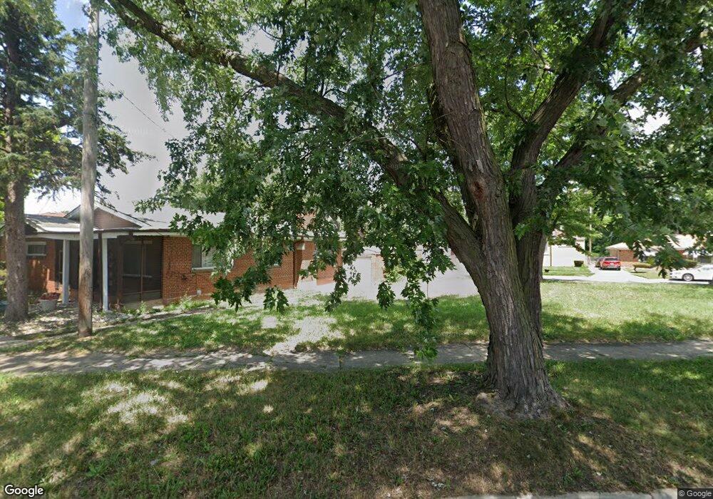
444 E 93rd St Chicago, IL 60619
Roseland NeighborhoodEstimated Value: $267,000
3
Beds
1
Bath
1,176
Sq Ft
$227/Sq Ft
Est. Value
About This Home
This home is located at 444 E 93rd St, Chicago, IL 60619 and is currently estimated at $267,000, approximately $227 per square foot. 444 E 93rd St is a home located in Cook County with nearby schools including Gillespie Elementary School, Harlan Community Academy High School, and Christian S T E M Scholars.
Ownership History
Date
Name
Owned For
Owner Type
Purchase Details
Closed on
Aug 27, 2019
Sold by
Semper Fidelis Llc
Bought by
Green Living Investments Llc
Current Estimated Value
Purchase Details
Closed on
Jan 11, 2019
Sold by
Mitchell Cherlyn Parrish
Bought by
Semper Fidelis Llc
Purchase Details
Closed on
Jan 10, 2019
Sold by
Bakeman Darrell Parrish
Bought by
Semper Fidelis Llc
Create a Home Valuation Report for This Property
The Home Valuation Report is an in-depth analysis detailing your home's value as well as a comparison with similar homes in the area
Home Values in the Area
Average Home Value in this Area
Purchase History
| Date | Buyer | Sale Price | Title Company |
|---|---|---|---|
| Green Living Investments Llc | -- | None Available | |
| Semper Fidelis Llc | -- | Old Republic Title | |
| Semper Fidelis Llc | -- | Old Republic Title | |
| Semper Fidelis Llc | $3,000 | Old Republic Title |
Source: Public Records
Tax History
| Year | Tax Paid | Tax Assessment Tax Assessment Total Assessment is a certain percentage of the fair market value that is determined by local assessors to be the total taxable value of land and additions on the property. | Land | Improvement |
|---|---|---|---|---|
| 2025 | $2,090 | $9,288 | $9,288 | -- |
| 2024 | $2,090 | $9,288 | $9,288 | -- |
| 2023 | $2,038 | $9,907 | $9,907 | -- |
| 2022 | $2,038 | $9,907 | $9,907 | $0 |
| 2021 | $1,992 | $9,907 | $9,907 | $0 |
| 2020 | $2,207 | $9,907 | $9,907 | $0 |
| 2019 | $2,014 | $13,455 | $9,907 | $3,548 |
| 2018 | $1,979 | $13,455 | $9,907 | $3,548 |
| 2017 | $3,118 | $17,861 | $8,668 | $9,193 |
| 2016 | $3,077 | $17,861 | $8,668 | $9,193 |
| 2015 | $2,792 | $17,861 | $8,668 | $9,193 |
| 2014 | $2,159 | $14,203 | $7,430 | $6,773 |
| 2013 | $2,105 | $14,203 | $7,430 | $6,773 |
Source: Public Records
Map
Nearby Homes
- 9300 S Vernon Ave
- 9323 S Rhodes Ave
- 500 E 92nd St
- 9319 S Calumet Ave
- 543 E 92nd St
- 543 E 91st Place
- 9432 S Vernon Ave
- 9400 S Calumet Ave
- 628 E 92nd Place
- 9419 S Saint Lawrence Ave
- 518 E 95th St
- 9410 S Champlain Ave
- 549 E 91st St
- 9339 S Burnside Ave
- 9418 S Champlain Ave
- 9150 S Burnside Ave
- 654 E 92nd Place
- 9456 S Calumet Ave
- 9020 S King Dr
- 728 E 92nd Place
- 438 E 93rd St
- 9300 S Eberhart Ave
- 436 E 93rd St
- 9301 S Vernon Ave
- 9283 S Burnside Ave
- 9287 S Burnside Ave
- 9279 S Burnside Ave
- 9308 S Eberhart Ave
- 9291 S Burnside Ave
- 9305 S Vernon Ave
- 9264 S Burnside Ave
- 9264 S Burnside Ave
- 9273 S Burnside Ave
- 9310 S Eberhart Ave
- 9295 S Burnside Ave
- 9307 S Vernon Ave
- 9269 S Burnside Ave
- 9299 S Burnside Ave
- 9260 S Burnside Ave
- 9314 S Eberhart Ave
Your Personal Tour Guide
Ask me questions while you tour the home.